Thunder Bay in Thunder Bay District, Ontario — Central Canada (North America)
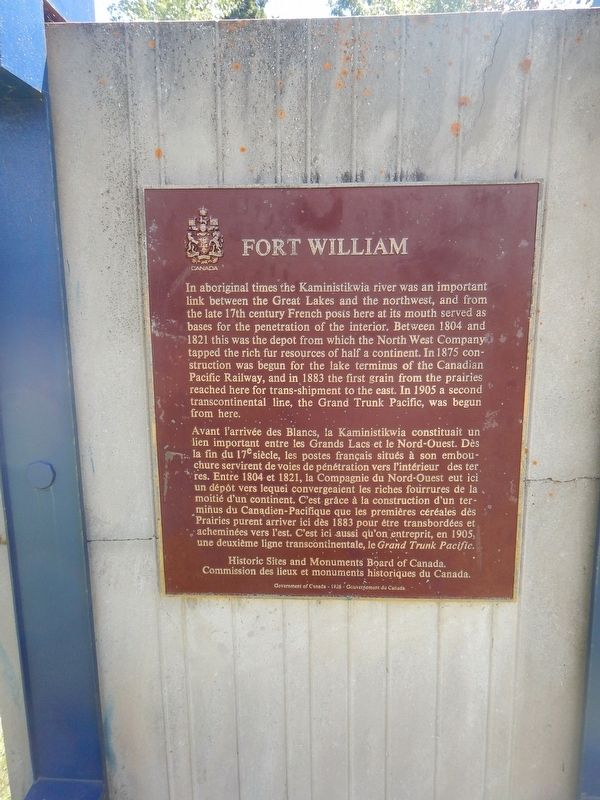
Fort William
In aboriginal times the Kaministikwia river was an important link between the Great Lakes and the northwest, and from the late 17th century French posts here at its mouth served as bases for the penetration of the interior. Between 1804 and 1821 this was the depot from which the North West Company tapped the rich fur resources of half a continent. In 1875 construction was begun for the lake terminus of the Canadian Pacific Railway, and in 1883 the first grain from the prairies reached here for trans-shipment to the east. In 1905 a second transcontinental line, the Grand Trunk Pacific, was begun from here.
Erected by Historic Sites and Monuments Board of Canada.
Topics. This historical marker is listed in these topic lists: Railroads & Streetcars • Settlements & Settlers • Waterways & Vessels. A significant historical year for this entry is 1804.
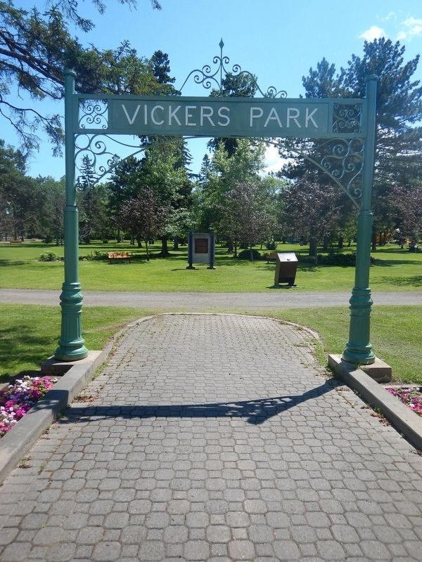
Location. 48° 22.834′ N, 89° 15.643′ W. Marker is in Thunder Bay, Ontario, in Thunder Bay District. Marker is on Arthur Street East, 0.1 kilometers east of Brunswick Street South, on the right when traveling east. Marker is located just inside the north entrance of Vickers Park from Arthur Street East. Touch for map. Marker is in this post office area: Thunder Bay ON P7E 2R6, Canada. Touch for directions.
Other nearby markers. At least 8 other markers are within walking distance of this marker. Commemorating the 100 Millionth Tree Planted (about 120 meters away, measured in a direct line); The Western Route of the C.P.R. (approx. one kilometer away); Thunder Bay Public Library (approx. 1.1 kilometers away); William McGillivray (approx. 1.1 kilometers away); 10-Mile Road Race (approx. 1.1 kilometers away); City Hall (approx. 1.1 kilometers away); Fort Kaministiquia 1717 (approx. 1.1 kilometers away); 425 Donald Street East (approx. 1.2 kilometers away). Touch for a list and map of all markers in Thunder Bay.
Credits. This page was last revised on August 9, 2017. It was originally submitted on August 9, 2017, by Kevin Craft of Bedford, Quebec. This page has been viewed 268 times since then and 8 times this year. Photos: 1, 2. submitted on August 9, 2017, by Kevin Craft of Bedford, Quebec.

