
Thunder Bay in Thunder Bay District, Ontario — Central Canada (North America)
William McGillivray
1764-1825
Photographed by Kevin Craft, July 10, 2017
1. William McGillivray Marker
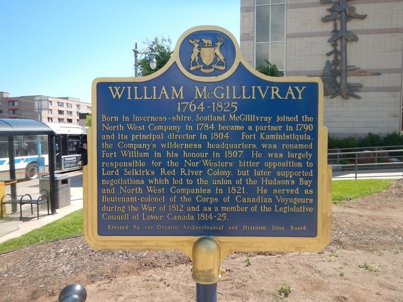
Born in Inverness-shire, Scotland, McGillivray joined the North West Company in 1784, became a partner in 1790 and its principal director in 1804. Fort Kaministiquia, the Company's wilderness headquarters, was renamed Fort William in his honour in 1807. He was largely responsible for the Nor'Westers' bitter opposition to Lord Selkirk's Red River Colony, but later supported negotiations which led to the union of the Hudson's Bay and North West Companies in 1821. He served as lieutenant-colonel of the Corps of Canadian Voyageurs during the War of 1812 and as a member of the Legislative Council of Lower Canada 1814-25.
Erected by Ontario Archaeological and Historic Sites Board.
Topics and series. This historical marker is listed in these topic lists: Colonial Era • Industry & Commerce • Settlements & Settlers • War of 1812. In addition, it is included in the Canada, Ontario Heritage Trust series list. A significant historical year for this entry is 1764.
Location. 48° 22.935′ N, 89° 14.743′ W. Marker is in Thunder Bay, Ontario, in Thunder Bay District. It is at the intersection of Donald Street East and May
this page online

Regionally, this marker is in Northern Ontario and specifically in Northwest Ontario. It is also in Central Canada. Globally, it is in North America, in the Great North Woods, on the Great Lakes, on Lake Superior’s North Shore, in the Western Hemisphere, in the Western World, and in the Anglosphere. Historically, it finds itself in what was once a British colony, the Viceroyalty of New France, the Haudenosaunee (Iroquois) Confederacy, and Rupert’s Land.
Other nearby markers. At least 8 other markers are within walking distance of this marker: Fort Kaministiquia 1717 (here, next to this marker); City Hall (within shouting distance of this marker); 10-Mile Road Race (within shouting distance of this marker); 425 Donald Street East (about 90 meters away, measured in a direct line); Thunder Bay Public Library (about 90 meters away); The Western Route of the C.P.R.
Photographed by Kevin Craft, July 10, 2017
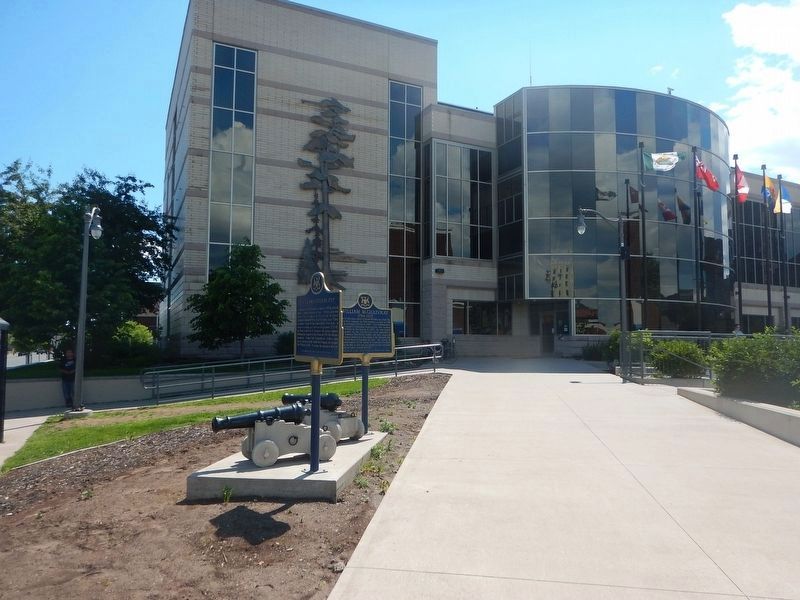
2. Wideview of William McGillivray Marker
Also see . . . Wikipedia - William McGillivray. (Submitted on August 9, 2017, by Kevin Craft of Bedford, Quebec.)
Credits. This page was last revised on January 1, 2020. It was originally submitted on August 9, 2017, by Kevin Craft of Bedford, Quebec. This page has been viewed 620 times since then and 28 times this year. Photos: 1, 2. submitted on August 9, 2017, by Kevin Craft of Bedford, Quebec.
