Hagerstown in Washington County, Maryland — The American Northeast (Mid-Atlantic)
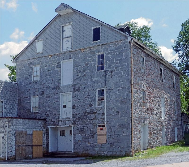
Hager Mill
Heart of the Civil War Heritage Area
Photographed by Allen C. Browne, August 9, 2017
1. Hager Mill Marker
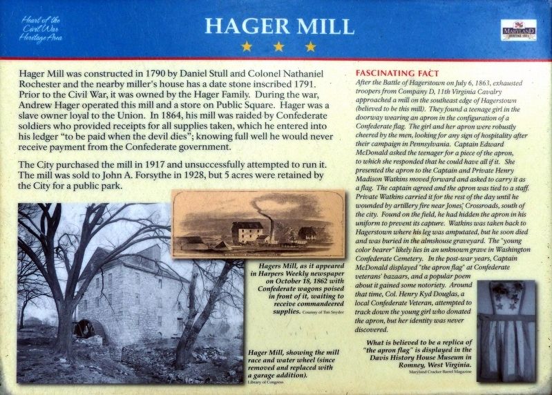
The City purchased the mill in 1917 and unsuccessfully attempted to run it. The mill was sold to John A. Forsythe in 1928, but 5 acres were retained by the City for a public park.
Fascinating Fact
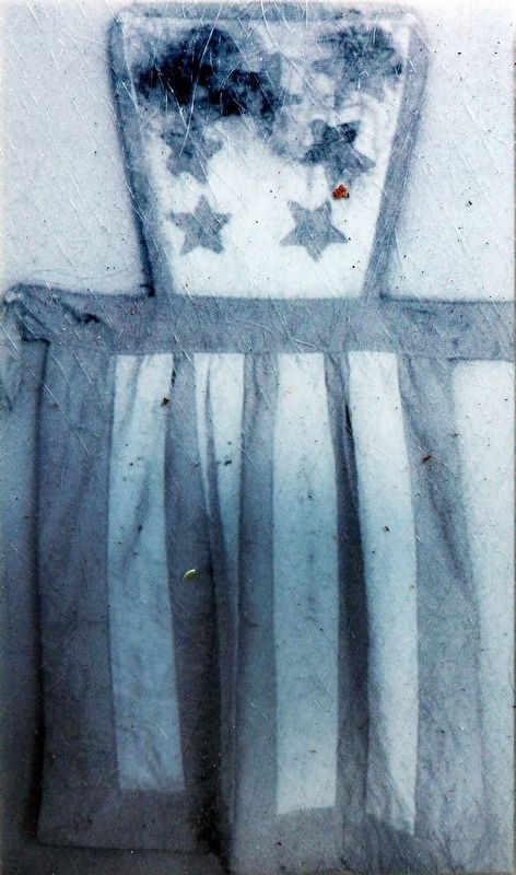
After the Battle of Hagerstown on July 6, 1861, exhausted troopers from Company D, 11th Virginia Cavalry approached a mill on the southeast edge of Hagerstown (believed to be this mill). They found a teenage girl in the doorway wearing an apron in the configuration of a Confederate flag. The girl and her apron were robustly cheered by the men,
this page online
Topics.
Photographed by Allen C. Browne, August 9, 2017
2. Hager Mill Marker
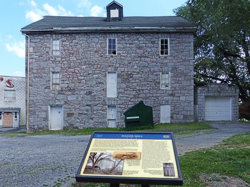
Location. 39° 38.002′ N, 77° 42.957′ W. Marker is in Hagerstown, Maryland, in Washington County. It is on Mill Street east of Frederick Street (Alternate U.S. 40), on the right when traveling east. Touch for map. Marker is at or near this postal address: 288 Mill Street, Hagerstown MD 21740, United States of America. Touch for directions.

Regionally, this marker is in Western Maryland. It is also in the American Mid-Atlantic, in Appalachia, and specifically in Northern Appalachia. Globally, it is in North America, the Western Hemisphere, the Western World, and the Anglosphere. Historically, it finds itself in what was once one of the original Thirteen Colonies.
Other nearby markers. At least 8 other markers are within walking distance of this marker: Hagerstown Female Seminary (approx. ¼ mile away); Memorial Boulevard (approx. 0.3 miles away); St Johns Episcopal Churchyard. (approx. 0.3 miles away); St. John's Cemetery (approx. 0.3 miles away); Willow Lane Park (approx. 0.4 miles
Library of Congress
3. Hager Mill
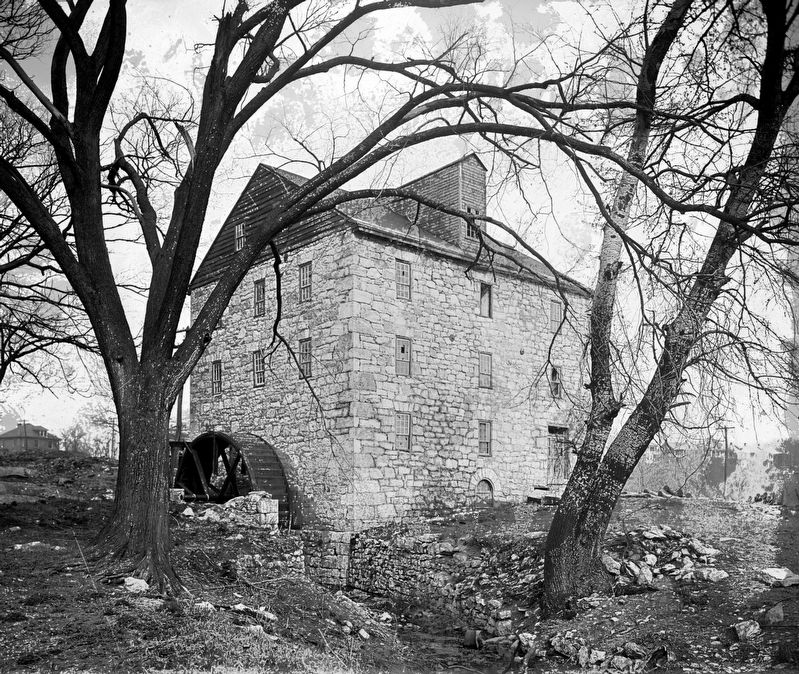
Hager Mill, showing the mill race and water wheel (since removed and replaced with a garage addition).
Photographed by Allen C. Browne, August 9, 2017
4. Hagers Mill
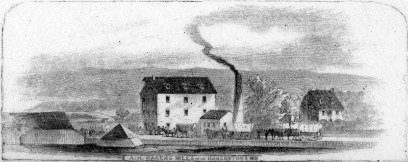
Hagers Mill, as it appeared in Harpers Weekly newspaper on October 18, 1862 with Confederate wagons poised in front of it, waiting to receive commandeered supplies.Close-up of photo, courtesy of Tim Snyder, on marker
Photographed by Allen C. Browne, August 9, 2017
5. The Apron Flag
What is believed to be a replica of “the apron flag” is displayed in the Davis History House Museum in Romney, West Virginia.Close-up of Maryland Cracker Barrel Magazine photo on marker
Photographed by Allen C. Browne, August 9, 2017
6. Hager Mill
Photographed by Allen C. Browne, August 9, 2017
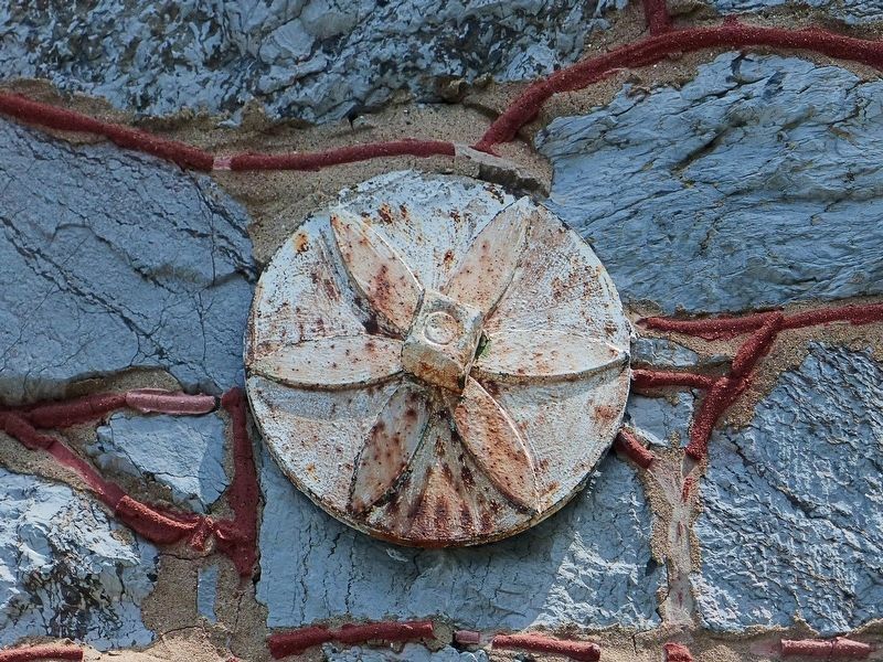
7. Tie-Rod End
Photographed by Allen C. Browne, August 9, 2017
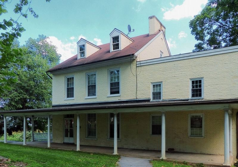
8. The Miller's House
Photographed by Allen C. Browne, August 9, 2017
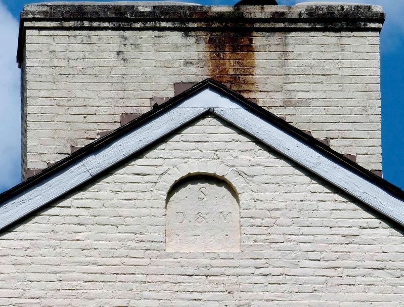
9.
S
D & M
1791
S
D & M
1791
Credits. This page was last revised on August 17, 2017. It was originally submitted on August 10, 2017, by Allen C. Browne of Silver Spring, Maryland. This page has been viewed 1,540 times since then and 63 times this year. Photos: 1, 2, 3, 4, 5, 6. submitted on August 10, 2017, by Allen C. Browne of Silver Spring, Maryland. 7, 8, 9. submitted on August 14, 2017, by Allen C. Browne of Silver Spring, Maryland. • Bernard Fisher was the editor who published this page.
