Near Fort Oglethorpe in Catoosa County, Georgia — The American South (South Atlantic)
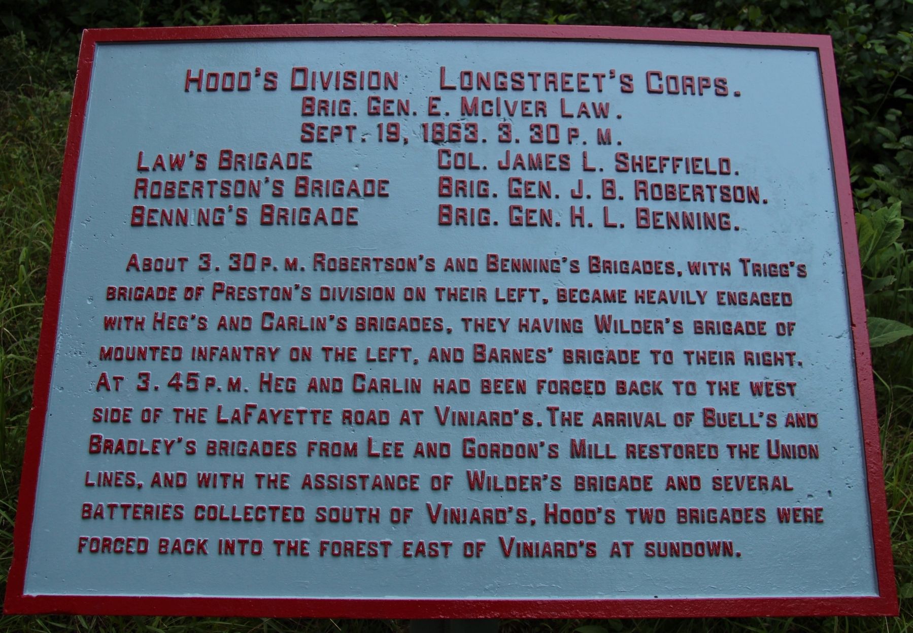
Hood's Division
Longstreet's Corps
| — | Brigadier General E. McIver | — |
Photographed by Dale K. Benington, July 12, 2017
1. Hood's Division Marker
Brigadier General E. McIver Law.
September 20, 1863.
Law's Brigade, - Colonel James L. Sheffield.
Robertson's Brigade, - Brigadier General J.B. Robertson.
Benning's Brigade, - Brigadier General H.L. Benning.
About 3:30 p.m. Robert's and Benning's Brigades, with Trigg's Brigade of Preston's Division on their left, became heavily engaged with Heg's and Carlin's Brigades, they having Wilder's Brigade of mounted infantry on the left, and Barnes' Brigade to their right. At 3:45 p.m. Heg and Carlin had been forced back to the west side of the LaFayette road at Viniard's. The arrival of Buell's and Bradley's Brigades from Lee and Gordon's Mill restored the Union lines, and with the assistance of Wilder's Brigade and several batteries collected south of Viniard's. Hood's two brigades were forced back into the forest east of Viniard's at sundown.
Erected 1890 by the Chickamauga and Chattanooga National Military Park Commission. (Marker Number MT-1097.)
Topics. This historical marker is listed in this topic list: War, US Civil. A significant historical date for this entry is September 19, 1863.
Location. 34° 54.23′ N,
this page online

Regionally, this marker is in the Mountains. It is also in the American South and specifically in the Deep South. Globally, it is in North America, the Western Hemisphere, the Western World, and the Anglosphere. Historically, it finds itself in what was once the original Cherokee Nation, the territory of the Mississippian Culture, one of the original Thirteen Colonies, one of the Confederate States of America, and the Antebellum South.
Other nearby markers. At least 8 other markers are within walking distance of this marker: Robertson's Brigade (within shouting distance of this marker); 38th Illinois Infantry (about 300 feet away, measured in a direct line); 15th Georgia Infantry (about
Photographed by Dale K. Benington, July 12, 2017
2. Hood's Division Marker
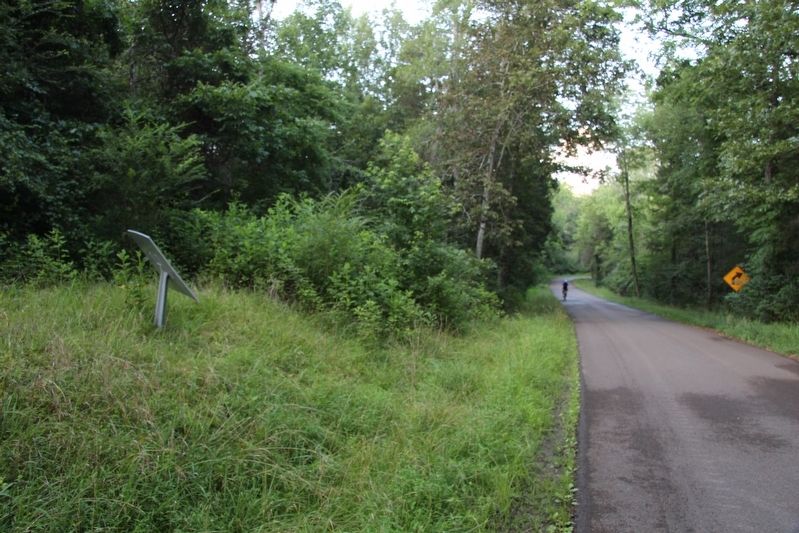
View of the backside of the tablet looking east along the Viniard Road.
More about this marker. In locating this tablet I used the "Chickamauga Battlefield" map, that I purchased at the Chickamauga and Chattanooga National Military Park, Visitor Center, to determine both the marker number for this tablet and the tablet's location in relation to the rest of the park's monuments, markers, and tablets. According to the map it provides the, "numerical listing of all monuments, markers, and tablets on the Chickamauga Battlefield (using the Chick-Chatt NMP Monument Numbering System).”
Photographed by Dale K. Benington, July 12, 2017
3. Hood's Division Marker
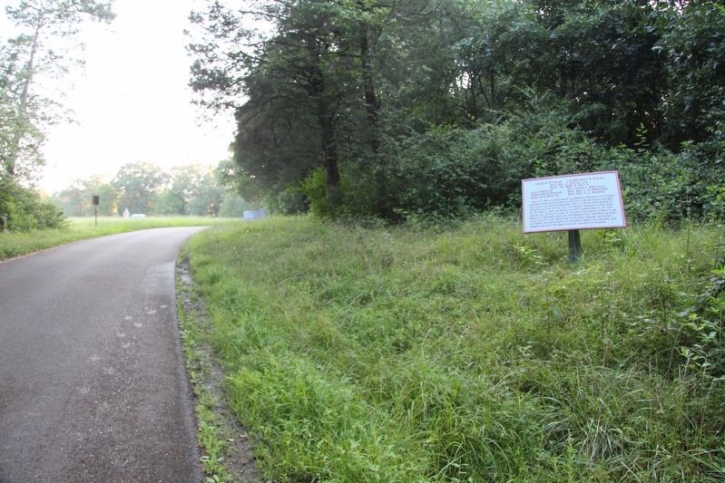
View of the tablet looking west along the Viniard Road, with a distant view of the Viniard field (on the left) and a more distant view of the LaFayette Road.
Photographed by Dale K. Benington, July 12, 2017
4. Hood's Division Marker
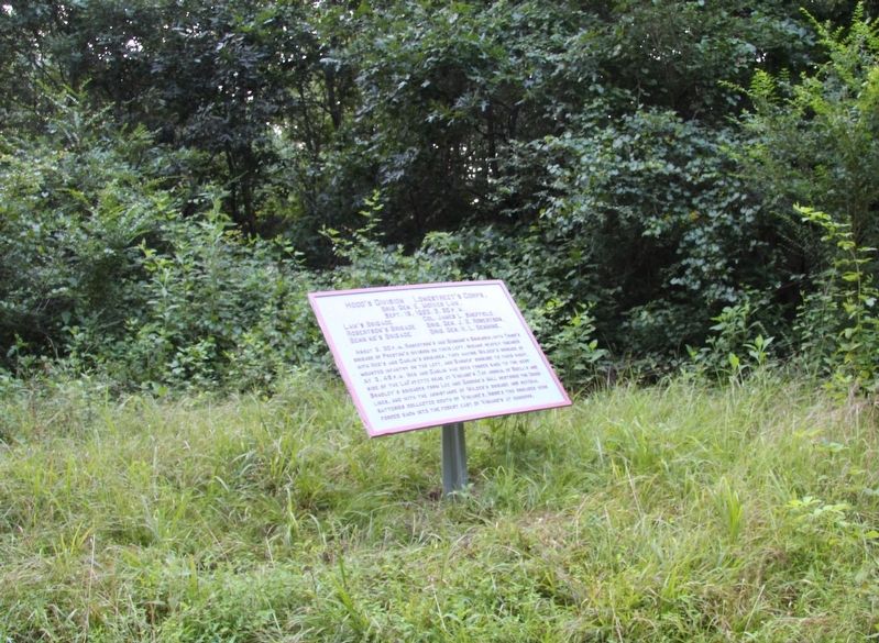
View, looking north, of the tablet's roadside location.
Credits. This page was last revised on August 10, 2017. It was originally submitted on August 10, 2017, by Dale K. Benington of Toledo, Ohio. This page has been viewed 361 times since then and 20 times this year. Photos: 1, 2, 3, 4. submitted on August 10, 2017, by Dale K. Benington of Toledo, Ohio.
