
Near Soda Springs in Caribou County, Idaho — The American West (Mountains)
Fort Hall
Photographed by Barry Swackhamer, June 22, 2017
1. Fort Hall Marker
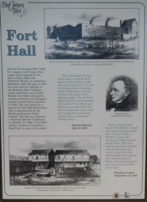
Captions: (top right) Sketch of Fort Hall by William Tappan in 1849 depicts adobe outer wall and blockhouse fortifications.; (center right) Nathaniel Wyeth; (bottom left) Interior of Fort Hall from the report of Major Oscorn Cross, October 1849.
"We commenced the Fort which was a stockade 80 ft square built of Cotton wood trees set on end sunk 2 1/2 feet in the ground and standing about 15 feet above with two bastions 8 ft square at the opposite angles. On the 4th of August the Fort was completed. And on the 5th the 'Stars and Stripes" were unfurled to the breeze at Sunrise in the center of a savage and uncivilized country over an American Trading Post." -- Osborne Russell, July 18, 1834
"Paid a visit to Capt. Grant. Fort Hall is a small and rather ill constructed Fort, built of 'Dobie.'... The Fort is near the entrance of Portneuf into the Snake River. The river bottoms are wide and have some fertile lands, but much is injured by the salt deposits of the waters from neighboring hill. Wheat, turnips have grown here with success. Cattle thrive well."
this page online
Erected by Idaho Department of Transportation.
Topics and series. This historical marker is listed in these topic lists: Roads & Vehicles • Settlements & Settlers. In addition, it is included in the Oregon Trail series list. A significant historical date for this entry is July 18, 1834.
Location. 42° 38.861′ N, 111° 42.111′ W. Marker is near Soda Springs, Idaho, in Caribou County. It is on Soda Point Power Plant Road near Reservoir Road, on the right when traveling south. Touch for map. Marker is at or near this postal address: 1599 Soda Point Power Plant Road, Soda Springs ID 83276, United States of America. Touch for directions.

Regionally, this marker is in Idaho’s Bear River Country. It is also in the American Mountain West. Globally, it is in North America, the Western Hemisphere, the Western World, and the Anglosphere.
Other nearby markers. At least 8 other markers are within walking distance of this marker: Sheep Rock Geology (here, next to this marker); Trails, Rails and Highways (here, next to this marker); Idaho's Emigrant Trails (here, next to this marker); Hudspeth Cutoff (here,
Photographed by Barry Swackhamer, June 22, 2017
2. Fort Hall Marker
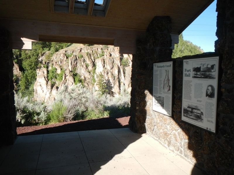
This marker is on the right.
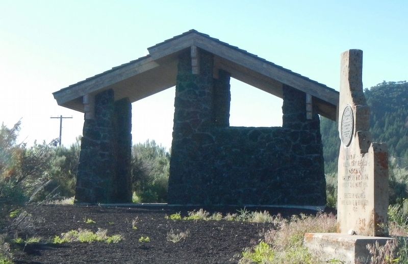
More about this marker. There are five markers inside this kiosk located on the Oregon Trail near Sheep Rock (Soda Point).
Photographed by Barry Swackhamer, June 22, 2017
3. Oregon Trail Kiosk near Sheep Rock
Credits. This page was last revised on August 11, 2017. It was originally submitted on August 11, 2017, by Barry Swackhamer of Brentwood, California. This page has been viewed 1,064 times since then and 76 times this year. Photos: 1, 2, 3. submitted on August 11, 2017, by Barry Swackhamer of Brentwood, California.
