Thunder Bay in Thunder Bay District, Ontario — Central Canada (North America)
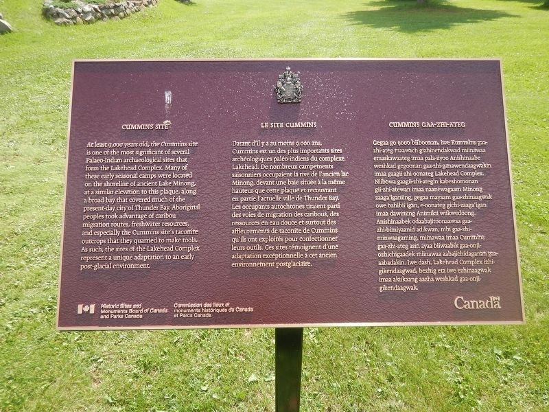
Cummins Site
At least 9,000 years old, the Cummins site is one of the most significant of several Palaeo-Indian archaeological sites that form the Lakehead Complex. Many of these early seasonal camps were located on the shoreline of ancient Lake Minong, at a similar elevation to this plaque, along a broad bay that covered much of the present-day city of Thunder Bay. Aboriginal people took advantage of caribou migration routes, freshwater resources, and especially the Cummins site's taconite outcrops that they quarried to make tools. As such, the sites of the Lakehead Complex represent a unique adaptation to an early post-glacial environment.
Erected by Historic Sites and Monuments Board of Canada.
Topics. This historical marker is listed in this topic list: Native Americans.
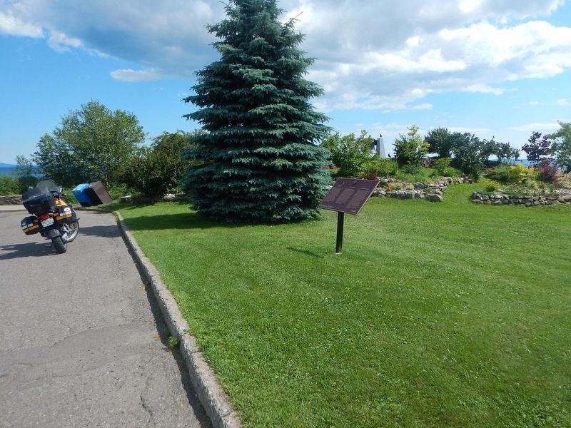
Location. 48° 26.051′ N, 89° 14.1′ W. Marker is in Thunder Bay, Ontario, in Thunder Bay District. Marker is at the intersection of Colonel Keene Drive and High Street South, on the right when traveling east on Colonel Keene Drive. Marker is located in Hillcrest Park. Touch for map. Marker is in this post office area: Thunder Bay ON P7B 3K5, Canada. Touch for directions.
Other nearby markers. At least 8 other markers are within walking distance of this marker. Simon James Dawson (about 180 meters away, measured in a direct line); Historic Church (approx. 0.6 kilometers away); Port Arthur Collegiate Institute (approx. 0.7 kilometers away); The Major Christopher Patrick John O'Kelly, VC Armoury (approx. 0.7 kilometers away); Col. Elizabeth Smellie 1884-1968 (approx. 0.7 kilometers away); Hogarth Fountain (approx. 0.7 kilometers away); Port Arthur Cenotaph (approx. 0.7 kilometers away); Trinity Centennial (approx. 0.8 kilometers away). Touch for a list and map of all markers in Thunder Bay.
Credits. This page was last revised on August 13, 2017. It was originally submitted on August 11, 2017, by Kevin Craft of Bedford, Quebec. This page has been viewed 289 times since then and 11 times this year. Photos: 1, 2. submitted on August 11, 2017, by Kevin Craft of Bedford, Quebec.

