College Hill in Providence in Providence County, Rhode Island — The American Northeast (New England)
A Changing Nation
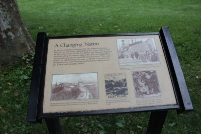
Photographed by Bryan Simmons, June 8, 2012
1. A Changing Nation Marker
Topics. This historical marker is listed in these topic lists: Industry & Commerce • Railroads & Streetcars • Settlements & Settlers • Waterways & Vessels. A significant historical year for this entry is 1820.
Location. This marker has been replaced by another marker nearby. It was located near 41° 49.772′ N, 71° 24.607′ W. Marker was in Providence, Rhode Island, in Providence County. It was in College Hill. It was on North Main Street, on the left when traveling north. Touch for map. Marker was in this post office area: Providence RI 02903, United States of America. Touch for directions.

Regionally, this marker was on Narragansett Bay. It was also
this page online
Other nearby markers. At least 8 other markers are within walking distance of this location: Roger Williams National Memorial (within shouting distance of this marker); Channeling Progress (within shouting distance of this marker); Realizing Providence (within shouting distance of this marker); The Prophet of Religious Freedom (within shouting distance of this marker); A Livelie Experiment (about 300 feet away); Site of Roger Williams House (about 400 feet away); Aquene. Eniskeetompowaug. (about 400 feet away); Roger Williams Founded Providence Here in 1636 (about 400 feet away). Touch for a list and map of all markers in Providence.
Other markers no longer nearby. Gone From Hence (was within shouting distance of this marker but has been replaced with another marker now near it); A Howling Wilderness (was about 300 feet away, measured in a direct line but has been replaced with another marker now near it).
Credits. This page was last revised on February 8, 2023. It was originally submitted on June 9, 2012, by Bryan Simmons of Attleboro, Massachusetts. This page has been viewed 736 times since then and 16 times this year. Last updated on August 12, 2017, by Thomas Dorman of Laurel, Maryland. Photo 1. submitted on June 9, 2012, by Bryan Simmons of Attleboro, Massachusetts. • Bill Pfingsten was the editor who published this page.
