Santa Barbara in Santa Barbara County, California — The American West (Pacific Coastal)
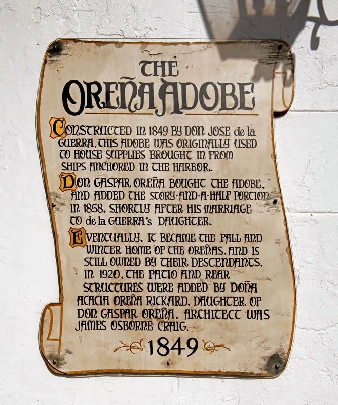
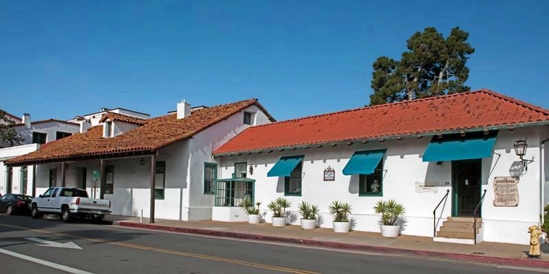
The Oreña Adobe
1849
Don Gaspar Oreña bought the adobe and added the story-and-a-half portion in 1858, shortly after his marriage to de la Guerra's daughter.
Eventually, it became the fall and winter home of the Oreñas, and is still owned by their descendants. In 1920, the patio and rear structures were added by Doña Acacia Oreña Rickard, daughter of Don Gaspar Oreña. Architect was James Osborne Craig.
Topics. This historical marker is listed in these topic lists: Architecture • Hispanic Americans • Settlements & Settlers. A significant historical year for this entry is 1849.
Location. 34° 25.247′ N, 119° 41.92′ W. Marker is in Santa Barbara, California, in Santa Barbara County. Marker is at the intersection of East de la Guerra Street and Anacapa Street on East de la Guerra Street. Touch for map. Marker is at or near this postal address: 39 East de la Guerra Street, Santa Barbara CA 93103, United States of America. Touch for directions.
Other nearby markers. At least 8 other markers are within walking distance of this marker. De La Guerra Plaza (within shouting distance of this marker); Jose Lobero's Opera House (about 400 feet away, measured in a direct line); The Rochin Adobe (about 600 feet away); Rochin-Birabent Adobe (about 600 feet away); Santa Barbara Presidio (about 600 feet away); Casa Covarrubas (about 600 feet away); Site of Royal Spanish Presidio (about 600 feet away); Gutierrez Drug Store (approx. 0.2 miles away). Touch for a list and map of all markers in Santa Barbara.
Credits. This page was last revised on August 12, 2017. It was originally submitted on August 12, 2017, by Alvis Hendley of San Francisco, California. This page has been viewed 426 times since then and 32 times this year. Photos: 1, 2. submitted on August 12, 2017, by Alvis Hendley of San Francisco, California. • Syd Whittle was the editor who published this page.

