Lamar in Prowers County, Colorado — The American Mountains (Southwest)
Santa Fe Trail
1822 - 1872
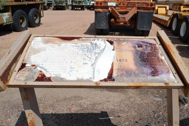
Photographed by Duane Hall, July 15, 2017
1. Santa Fe Trail Marker
Topics and series. This historical marker is listed in this topic list: Roads & Vehicles. In addition, it is included in the Santa Fe Trail series list. A significant historical year for this entry is 1822.
Location. Marker has been permanently removed. It was located near 38° 6.677′ N, 102° 37.094′ W. Marker was in Lamar, Colorado, in Prowers County. It was on Main Street (U.S. 50) 0.3 miles
this page online
We have been informed that this marker is no longer there and will not be replaced. This page is an archival view of what was.
Regionally, this marker was in the Eastern Plains. It was also in the American Mountain West, on the Great Plains, on the Southern Plains, on the High Plains, and on the Santa Fe Trail Corridor. Globally, it was in North America, the Western Hemisphere, the Western World, and the Anglosphere. Historically, it found itself in what was once New Spain, the Comanchería, the Dust Bowl, and the Republic of Texas.

Other nearby markers. At least 8 other markers are within walking distance of this location: A different marker also named Santa Fe Trail (approx. 0.3 miles away); Explore Big Timbers Region (approx. 0.3 miles away); Santa Fe Trail Scenic and Historic Byway (approx. 0.3 miles away); Iraqi Freedom Memorial (approx. 0.3 miles away); Santa Fe Trail, 1821-1880 (approx. 0.3 miles away); Big Timbers Museum Collection (approx. 0.3 miles
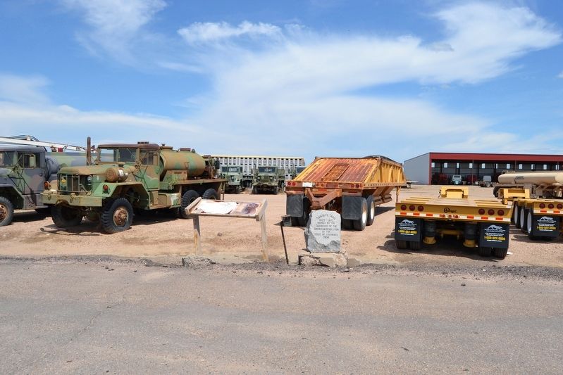
Photographed by Duane Hall, July 15, 2017
2. Santa Fe Trail Markers
The Santa Fe Trail Marker and the 1906 DAR Santa Fe Trail Marker. Note that the 1906 DAR Santa Fe Trail Marker was permanently moved 3/10 mile north to the Big Timbers Museum Interpretive Plaza.
Also see . . .
1. Santa Fe National Historic Trail. From the National Park Service website. (Submitted on August 13, 2017.)
2. Santa Fe Trail Association. Official website of the association. (Submitted on August 13, 2017.)
3. Santa Fe Trail - Lamar, CO. Waymarking page on marker and DAR marker. (Submitted on August 13, 2017.)
Additional commentary.
1. 1906 DAR Santa Fe Trail Marker
Next to the featured Santa Fe Trail Marker is a granite stone placed in 1906 to mark the route of the Santa Fe Trail. This stone marker is one of 36 markers placed by the Colorado Chapter of the Daughters of the American Revolution along the route of the Santa Fe Trail in the state of Colorado. The DAR Santa Fe Trail Marker was permanently moved 3/10 mile north to the Big Timbers Museum Interpretive Plaza.
— Submitted August 13, 2017, by Duane Hall of Abilene, Texas.
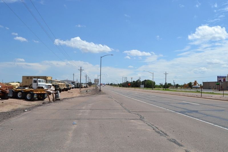
Photographed by Duane Hall, July 15, 2017
3. View to South Along US 50 (Main Street)
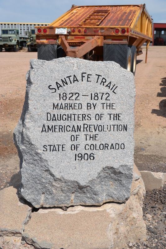
Photographed by Duane Hall, July 15, 2017
4. 1906 DAR Santa Fe Trail Marker
This 1906 DAR Santa Fe Trail Marker was permanently moved 3/10 mile north to the Big Timbers Museum Interpretive Plaza.
Credits. This page was last revised on July 1, 2023. It was originally submitted on August 13, 2017, by Duane Hall of Abilene, Texas. This page has been viewed 612 times since then and 53 times this year. Photos: 1, 2, 3, 4. submitted on August 13, 2017, by Duane Hall of Abilene, Texas.
Editor’s want-list for this marker. Photo of marker when it was in better condition. • Can you help?
