Tangier in Accomack County, Virginia — The American South (Mid-Atlantic)
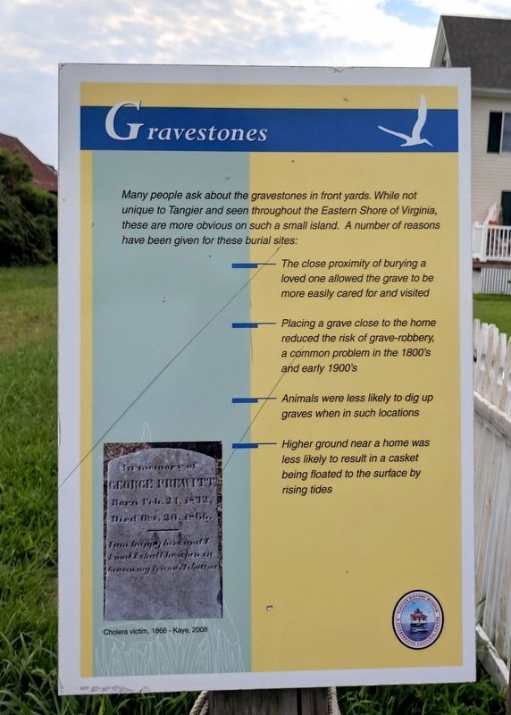
Gravestones
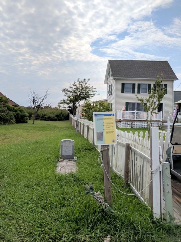
Many people ask about the gravestones in front yards. While not unique to Tangier Island and seen throughout the Eastern Shore of Virginia, these are more obvious on such a small island. A number of reasons have been given for these burial sites:
• The close proximity of burying a loved one allowed the grave to be more easily cared for and visited
• Placing a grave close to the home reduced the risk of grave-robbery, a common problem in the 1800's and early 1900's
• Animals were less likely to dig up graves when in such locations
• Higher ground near a home was less likely to result in a casket being floated to the surface by rising tides
(caption)
Cholera victim, 1866 - Kaye, 2008
Erected by Tangier History Museum & Interpretive Cultural Center.
Topics. This historical marker is listed in this topic list: Cemeteries & Burial Sites.
Location. 37° 49.47′ N, 75° 59.508′ W. Marker is in Tangier, Virginia, in Accomack County. Marker is on Main Ridge Road south of Garman Road, on the right when traveling south. Touch for map. Marker is in this post office area: Tangier VA 23440, United States of America. Touch for directions.
Other nearby markers. At least 8 other markers are within walking distance of this marker. Peter Crockett Store (a few steps from this marker); The Doctor's House (within shouting distance of this marker); New Testament Congregation (within shouting distance of this marker); Chesapeake House (about 300 feet away, measured in a direct line); The Patrick Benson House (about 400 feet away); The Peter Dise House (about 400 feet away); First Mobile Home (about 400 feet away); The Connorton House (about 500 feet away). Touch for a list and map of all markers in Tangier.
Also see . . . Tangier History Museum & Interpretive Cultural Center. Find Your Chesapeake website entry (Submitted on August 14, 2017.)
Credits. This page was last revised on March 4, 2022. It was originally submitted on August 14, 2017, by Bernard Fisher of Richmond, Virginia. This page has been viewed 424 times since then and 37 times this year. Photos: 1, 2. submitted on August 14, 2017, by Bernard Fisher of Richmond, Virginia.

