Tangier in Accomack County, Virginia — The American South (Mid-Atlantic)
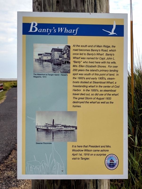
Banty's Wharf
It is here that President and Mrs. Woodrow Wilson came ashore April 1st, 1916 on a surprise visit to Tangier.
(captions)
The waterfront at Tangier's Island - Harper's Magazine, 1914
Steamer Pocomoke
Erected by Tangier History Museum & Interpretive Cultural Center.
Topics and series. This historical marker is listed in these topic lists: Disasters • Government & Politics • Industry & Commerce • Waterways & Vessels. In addition, it is included in the Former U.S. Presidents: #28 Woodrow Wilson series list. A significant historical date for this entry is April 1, 1916.
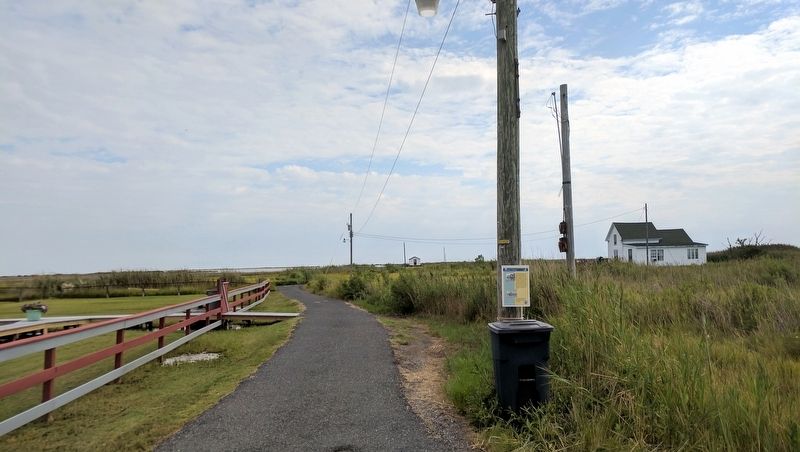
Location. 37° 49.256′ N, 75° 59.519′ W. Marker is in Tangier, Virginia, in Accomack County . Marker is at the intersection of Bannys Road and Factory Road, on the right when traveling south on Bannys Road. Touch for map. Marker is in this post office area: Tangier VA 23440, United States of America. Touch for directions.
Other nearby markers. At least 8 other markers are within walking distance of this marker. Tangier Volunteer Fire Department (about 500 feet away, measured in a direct line); The Patrick Benson House (approx. 0.2 miles away); Old Shirt Factory (approx. 0.2 miles away); New Testament Congregation (approx. 0.2 miles away); Gravestones (approx. ¼ mile away); Peter Crockett Store (approx. ¼ mile away); The Miss Minnie & Capt. Charlie Pruitt House (approx. ¼ mile away); Lee’s Bethel (approx. ¼ mile away). Touch for a list and map of all markers in Tangier.
Also see . . . Tangier History Museum and Interpretive Cultural Center. Find Your Chesapeake website entry (Submitted on August 14, 2017.)
Credits. This page was last revised on March 4, 2022. It was originally submitted on August 14, 2017, by Bernard Fisher of Richmond, Virginia. This page has been viewed 263 times since then and 16 times this year. Photos: 1, 2. submitted on August 14, 2017, by Bernard Fisher of Richmond, Virginia.

