Machipongo in Northampton County, Virginia — The American South (Mid-Atlantic)
Northampton County Almshouse At Machipongo
Photographed by Bernard Fisher, August 12, 2017
1. Northampton County Almshouse At Machipongo Marker
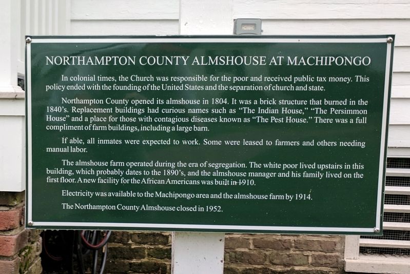
In colonial times, the Church was responsible for the poor and received public tax money. This policy ended with the founding of the United States and the separation of church and state.
Northampton County opened its almshouse in 1804. It was a brick structure that burned in the 1840's. Replacement buildings had curious names such as "The Indian House," "The Persimmon House" and a place for those with contagious diseases known as "The Pest House." There was a full compliment of farm buildings, including a large barn.
If able, all inmates were expected to work. Some were leased to farmers and others needing manual labor.
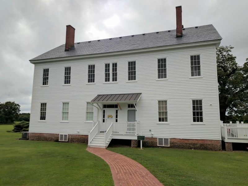
The almshouse farm operated during the era of segregation. The white poor lived upstairs in this building, which probably dates to the 1890's, and the almshouse manager and his family lived on the first floor. A new facility for the African Americans was built in 1910.
Electricity was available to the Machipongo area and the almshouse farm by 1914.
The Northampton County Almshouse closed in 1952.
Topics. This historical marker is listed in these topic lists: African Americans •
this page online
Location. 37° 24.268′ N, 75° 54.286′ W. Marker is in Machipongo, Virginia, in Northampton County. It can be reached from Young Street west of Lankford Highway (U.S. 13), on the right when traveling west. Touch for map. Marker is at or near this postal address: 7295 Young St, Machipongo VA 23405, United States of America. Touch for directions.

Regionally, this marker is on Virginia’s Eastern Shore. It is also in the American South, specifically in the Upper South, on the Delmarva Peninsula, in the Tidewater, and on the Eastern Seaboard. Globally, it is in the North Atlantic Region, North America, the Western Hemisphere, the Western World, and the Anglosphere. Historically, it finds itself in what was once the territory of the Mississippian Culture, one of the original Thirteen Colonies, one of the Confederate States of America, and the Antebellum South.
Other nearby markers. At least 8 other markers are within walking distance of this marker: Wooden Remnant (here, next to this marker); a different marker also named The African American Almshouse
Photographed by Bernard Fisher, August 12, 2017
2. Northampton County Almshouse At Machipongo Marker
Other markers no longer nearby. The African American Almshouse (was a few steps from this marker but has been replaced with another marker now near it); Gristmill Grindstones (was within shouting distance of this marker but has been confirmed missing); The Quarter Kitchen (was within shouting distance of this marker but has been replaced with another marker now near it); Cauldron (was within shouting distance of this marker but has been confirmed missing).
Also see . . .
1. Barrier Islands Center. (Submitted on August 14, 2017.)
2. Almshouse Farm at Machipongo. National Register of Historic Places (Submitted on November 10, 2021.)
Credits. This page was last revised on November 10, 2021. It was originally submitted on August 14, 2017, by Bernard Fisher of Richmond, Virginia. This page has been viewed 693 times since then and 26 times this year. Photos: 1, 2. submitted on August 14, 2017, by Bernard Fisher of Richmond, Virginia.
