Machipongo in Northampton County, Virginia — The American South (Mid-Atlantic)
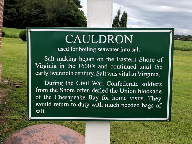
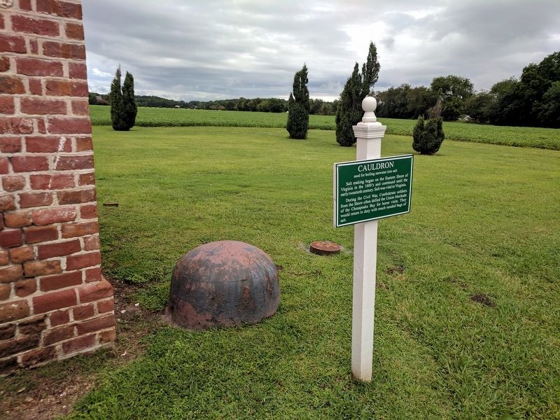
Cauldron
used for boiling seawater into salt
During the Civil War, Confederate soldiers from the Shore often defied the Union blockade of the Chesapeake Bay for home visits. They would return to duty with much needed bags of salt.
Topics. This historical marker is listed in this topic list: War, US Civil.
Location. Marker has been reported missing. It was located near 37° 24.279′ N, 75° 54.265′ W. Marker was in Machipongo, Virginia, in Northampton County. Marker could be reached from Young Street west of Lankford Highway (U.S. 13), on the right when traveling west. Touch for map. Marker was at or near this postal address: 7295 Young St, Machipongo VA 23405, United States of America. Touch for directions.
Other nearby markers. At least 8 other markers are within walking distance of this location. The Quarter Kitchen (here, next to this marker); The African American Almshouse (within shouting distance of this marker); Wooden Remnant (within shouting distance of this marker); Northampton County Almshouse At Machipongo (within shouting distance of this marker); The Barrier Islands Center (within shouting distance of this marker); Grace and William Eyre (within shouting distance of this marker); Edward Franklin and Dorothy "Dot" Wise Gibb (within shouting distance of this marker); Site of the Almshouse Farm at Machipongo (about 300 feet away, measured in a direct line). Touch for a list and map of all markers in Machipongo.
Also see . . . Barrier Islands Center. (Submitted on August 14, 2017.)
Credits. This page was last revised on November 10, 2021. It was originally submitted on August 14, 2017, by Bernard Fisher of Richmond, Virginia. This page has been viewed 456 times since then and 30 times this year. Photos: 1, 2. submitted on August 14, 2017, by Bernard Fisher of Richmond, Virginia.

