Belhaven in Jackson in Hinds County, Mississippi — The American South (East South Central)
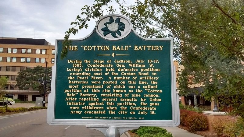
The "Cotton Bale" Battery
Erected 2007 by Mississippi Department of Archives and History.
Topics and series. This historical marker is listed in this topic list: War, US Civil. In addition, it is included in the Mississippi State Historical Marker Program series list. A significant historical date for this entry is July 10, 1863.
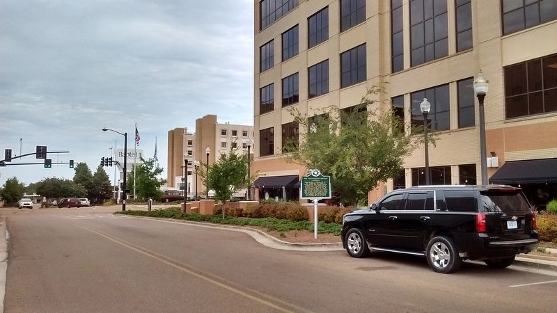
Location. 32° 18.845′ N, 90° 10.654′ W. Marker is in Jackson, Mississippi, in Hinds County. It is in Belhaven. Marker is on Manship Street east of North State Street (U.S. 51), on the right when traveling west. Touch for map. Marker is in this post office area: Jackson MS 39202, United States of America. Touch for directions.
Other nearby markers. At least 8 other markers are within walking distance of this marker. Willie Morris (approx. 0.2 miles away); Gillespie Farm (approx. 0.2 miles away); Jitney 14 (approx. 0.2 miles away); The Jackson Volcano (approx. ¼ mile away); Kennington's Mansion (approx. ¼ mile away); Manship House (approx. ¼ mile away); Shady Nook (approx. 0.3 miles away); Lampton Estate (approx. 0.4 miles away). Touch for a list and map of all markers in Jackson.
Also see . . .
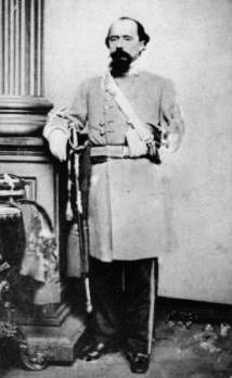
1. William W. Loring. (Submitted on August 15, 2017, by Tom Bosse of Jefferson City, Tennessee.)
2. Jackson Expedition. (Submitted on August 15, 2017, by Tom Bosse of Jefferson City, Tennessee.)
Credits. This page was last revised on February 16, 2023. It was originally submitted on August 15, 2017, by Tom Bosse of Jefferson City, Tennessee. This page has been viewed 602 times since then and 28 times this year. Photos: 1, 2, 3, 4. submitted on August 15, 2017, by Tom Bosse of Jefferson City, Tennessee. • Bernard Fisher was the editor who published this page.


