Mackinac Island in Mackinac County, Michigan — The American Midwest (Great Lakes)
Scout Barracks
⎯⎯⎯
Parade Ground
Registered Michigan Historic Site
Photographed by Cosmos Mariner, July 30, 2017
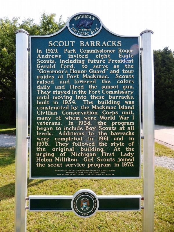
1. Scout Barracks (marker west side)
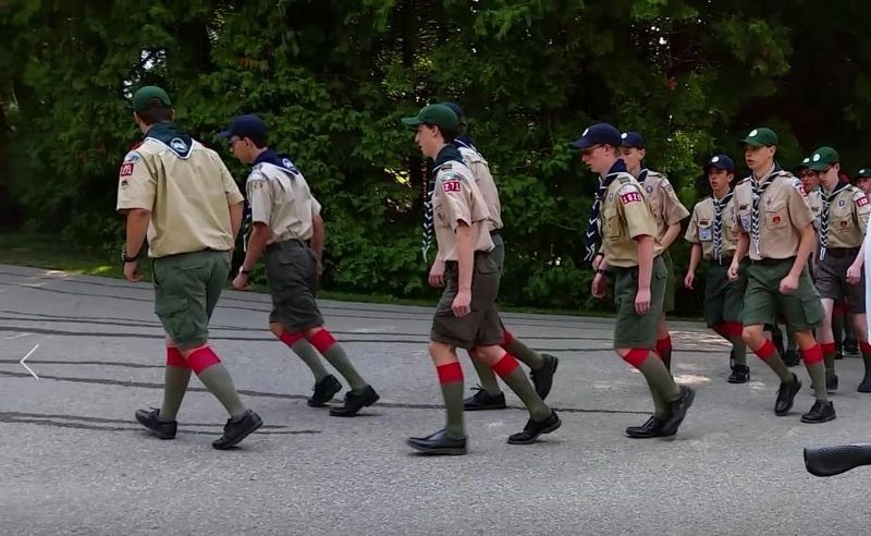
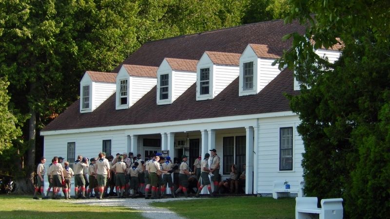
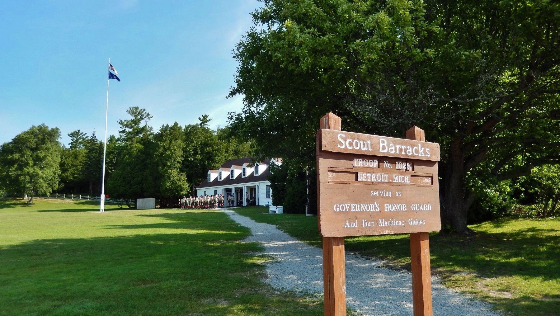
Scout Barracks. In 1929, Park Commissioner Roger Andrews invited eight Eagle Scouts, including future President Gerald Ford, to serve as the “Governor’s Honor Guard” and tour guides at Fort Mackinac. Scouts raised and lowered the colors daily and fired the sunset gun. They stayed in the Fort Commissary until moving into these barracks, built in 1934. The building was constructed by the Mackinac Island Civilian Conservation Corps unit, many of whom were World War I veterans. In 1938, the program began to include Boy Scouts at all levels. Additions to the barracks were completed in 1961 and in 1975. They followed the style of the original building. At the urging of Michigan First Lady Helen Milliken, Girl Scouts joined the scout service program in 1975.
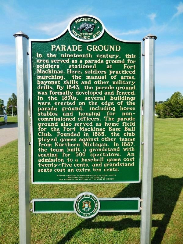
Parade Ground. In the nineteenth century, this area served as a parade ground for soldiers stationed at Fort Mackinac. Here, soldiers practiced marching, the manual of arms, bayonet skills and other military drills. By 1843, the parade ground was formally developed and fenced. In the 1870s, several buildings were erected on the edge of the parade ground, including horse
this page online
Erected 2015 by Michigan Historical Commission, Michigan Historical Center. (Marker Number L2266.)
Topics and series. This historical marker is listed in these topic lists: Forts and Castles • Fraternal or Sororal Organizations • Parks & Recreational Areas • Sports. In addition, it is included in the Civilian Conservation Corps (CCC), the Former U.S. Presidents: #38 Gerald R. Ford, Jr., and the Michigan Historical Commission series lists. A significant historical year for this entry is 1929.
Location. 45° 51.195′ N, 84° 37.014′ W. Marker is on Mackinac Island, Michigan, in Mackinac County. It is on Huron Road 0.2 miles east of Fort Street, on the left when traveling east. Marker located at entrance to Parade Ground and Scout Barracks.
Photographed by Cosmos Mariner, July 30, 2017
2. Parade Ground (marker east side)

Regionally, this marker is on the Upper Peninsula and on the Straits of Mackinac. It is also in the American Midwest. Globally, it is in North America, in the Great North Woods, on the Great Lakes, in the Western Hemisphere, in the Western World, and in the Anglosphere. Historically, it finds itself in what was once the Viceroyalty of New France and also the Northwest Territory.
Other nearby markers. At least 8 other markers are within walking distance of this marker: Historic Fort Mackinac (within shouting distance of this marker); The Defenses of Fort Mackinac: The British Fort, 1779-1796 (about 300 feet away, measured in a direct line); The Defenses of Fort Mackinac: The American Fort, 1796 - 1895 (about 300 feet away); Greany Grove (about 300 feet away); The 1780 British Water Well (about 400 feet away); Flags at Fort Mackinac (about 500 feet away); Somewhere in Time Gazebo (about 500 feet away); Dr. William Beaumont (about 500 feet away). Touch for a list and map of
Photographed by Cosmos Mariner, July 30, 2017
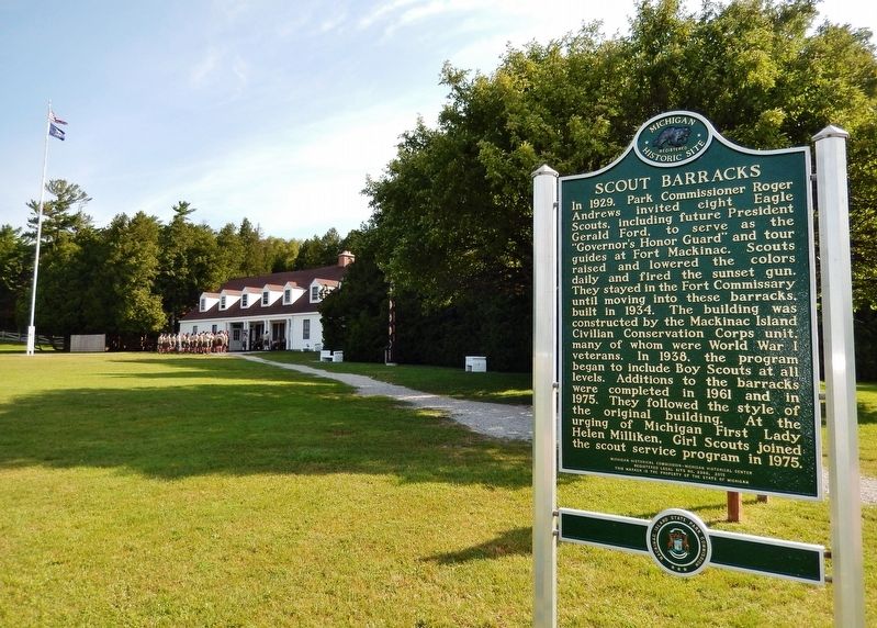
3. Scout Barracks Marker
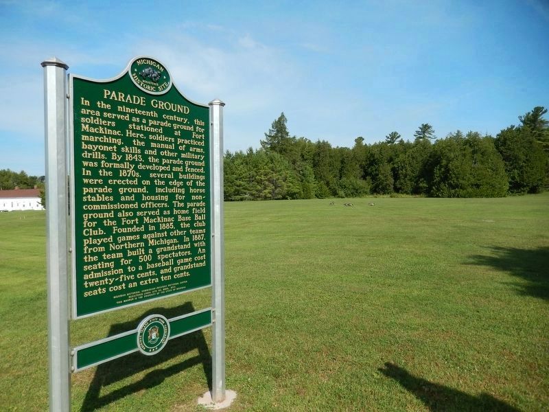
Regarding Scout Barracks / Parade Ground. The rear parade ground north of Fort Mackinac is a distinctive Mackinac Island landscape, an integral part of the operation of Fort Mackinac for both military use and, beginning in 1885, as a baseball field. After the closing of the fort in 1895 the Mackinac Island State Park Commission maintained this historic landscape, including the baseball field. The barracks for the Mackinac Island Scout Service Camp was built here in 1934.
Also see . . . A 75-Year Tradition of Summer Service. Scouting Magazine website entry:
During the 75th anniversary of the Scout Service Camp on Mackinac Island, former crew members reminisced about the past, recalling some of these historical moments...(Submitted on August 16, 2017, by Cosmos Mariner of Cape Canaveral, Florida.)
Photographed by Cosmos Mariner, July 30, 2017
4. Parade Ground Marker
Photographed by Cosmos Mariner, July 30, 2017
5. Boy Scouts marching towards barracks
Photographed by Cosmos Mariner, July 30, 2017
6. Boy Scouts gathering at Scout Barracks
Photographed by Cosmos Mariner, July 30, 2017
7. Scout Barracks Sign (a few steps from marker)
Photographed by Kevin W., May 31, 2026
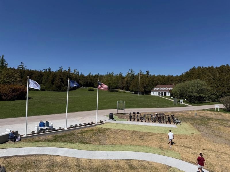
8. Scout Barracks / Parade Ground Marker
Photo taken from inside the fort. The Historic Fort Mackinac Marker is immediately in front, left of this marker.
Credits. This page was last revised on September 23, 2026. It was originally submitted on August 16, 2017, by Cosmos Mariner of Cape Canaveral, Florida. This page has been viewed 1,267 times since then and 84 times this year. Photos: 1, 2, 3. submitted on August 16, 2017, by Cosmos Mariner of Cape Canaveral, Florida. 4. submitted on December 24, 2022, by Cosmos Mariner of Cape Canaveral, Florida. 5, 6, 7. submitted on August 16, 2017, by Cosmos Mariner of Cape Canaveral, Florida. 8. submitted on June 1, 2026, by Kevin W. of Stafford, Virginia. • Bill Pfingsten was the editor who published this page.
