Forneys Creek in Swain County, North Carolina — The American South (South Atlantic)
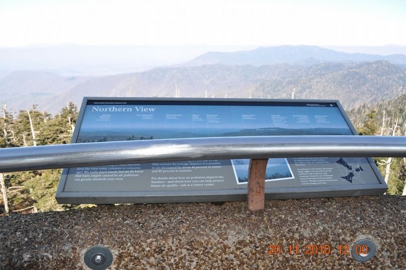
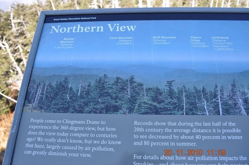
Northern View
Great Smokey Mountain National Park
Records show that during the last half of the 20th century the average distance it is possible to see decreased by about 40 percent in winter and 80 percent in summer.
For details about how air pollution impacts the Smokies-and about how you can help protect future air quality-ask at a visitor center.
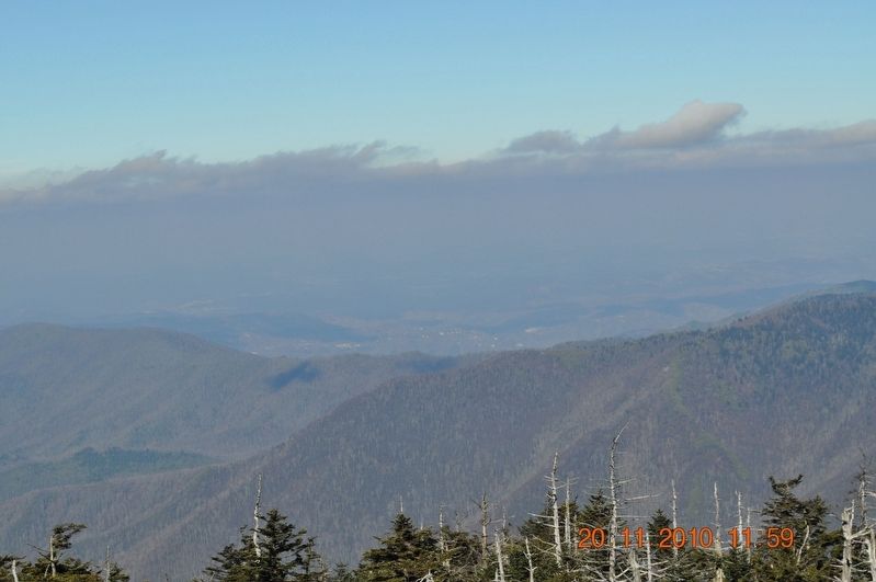
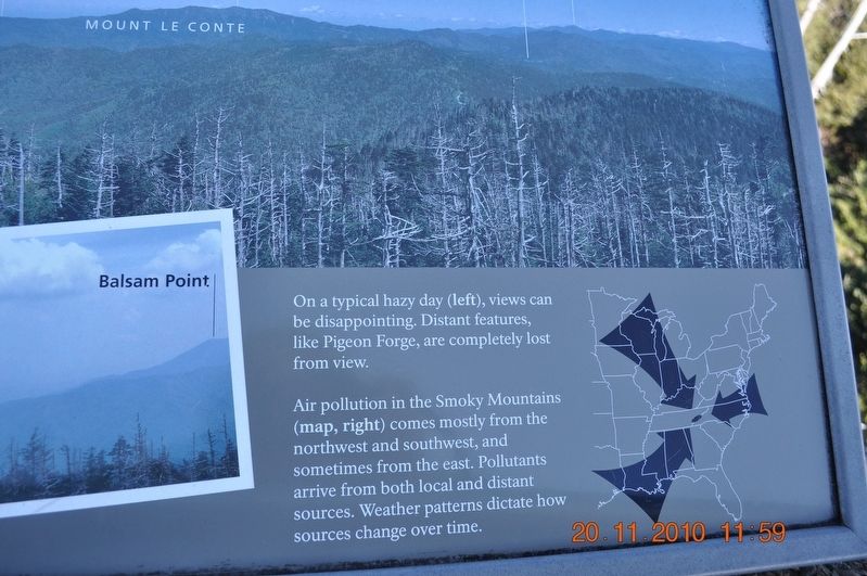
On a typical hazy day (left), views can be disappointing. Distance features, like Pigeon Forge, are completely lost from view.
Air pollution in the Smoky Mountains (map, right) comes mostly from the northwest and southwest, and sometimes from the east. Pollutants arrive from both local and distant sources. Weather patterns dictate how sources change over time.
(captions)
Blanket Mountain
Distance: 7.7mi/12.4km
Cove Mountain
Distance: 11mi/18km
Bluff Mountain
Distance: 20mi/32km
Pigeon Forge
Distance: 15mi/24km
Gatlinburg
Distance: 10.5mi/17km
Elevation: 1289ft/393m
Balsam Point
Distance: 6.5mi/10.4km
High Top
(Highest point on Mt. Le Conte)
Distance: 6.9mi/11.1km
Elevation: 6593ft/2010m
Newfound Gap
Distance: 5.5mi/8.8km
Elevation: 5046ft/1538m
Mount Guyot
Distance: 17mi/27km
Elevation: 6621ft/2018m
Erected by Great Smoky Mountains National Park.
Topics. This historical marker is listed in this topic list: Natural Features.
Location. 35° 33.777′ N, 83° 29.91′ W. Marker is in Forneys Creek, North Carolina, in Swain County. Marker can be reached from Clingmans Dome Road, 7 miles west of U.S. 441, on the right when traveling west. Mark is located at the Clingmans Dome overlook 0.5 miles north of the Visitor Center. Touch for map. Marker is in this post office area: Bryson City NC 28713, United States of America. Touch for directions.
Other nearby markers. At least 8 other markers are within 6 miles of this marker, measured as the crow flies. Western View (here, next to this marker); Eastern View (a few steps from this marker); Southern View (a few steps from this marker); The Top of the Smokies (approx. 0.4 miles away); And It Became Land (approx. 0.4 miles away); Mountains: Refuge and Healing (approx. half a mile away); Indian Gap Road (approx. 4.3 miles away in Tennessee); Spared the Saw (approx. 5.1 miles away). Touch for a list and map of all markers in Forneys Creek.
Also see . . . Great Smoky Mountains National Park. National Park Service (Submitted on August 18, 2017.)
Credits. This page was last revised on August 18, 2017. It was originally submitted on August 18, 2017, by Sandra Hughes Tidwell of Killen, Alabama, USA. This page has been viewed 500 times since then and 27 times this year. Photos: 1, 2, 3, 4. submitted on August 18, 2017, by Sandra Hughes Tidwell of Killen, Alabama, USA. • Bernard Fisher was the editor who published this page.


