Near Ontario in Malheur County, Oregon — The American West (Northwest)
Malheur Butte
Photographed by Barry Swackhamer, June 28, 2017
1. Malheur Butte Marker
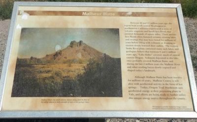
Caption: Malheur Butte, the small volcanic feature rising from the floor of the valley remains a stark reminder of more active geologic times.
Although Malheur Butte has been inactive for millions of years, Malheur County is still alive with geothermal activity in the form of hot springs. Today, Oregon Trail Mushrooms uses geothermal energy at their processing plant in Vale, and efforts are being made to further utilize this unique energy source throughout the county.
Erected by Oregon
this page online
Topics. This historical marker is listed in this topic list: Natural Features.
Location. 43° 59.136′ N, 117° 5.976′ W. Marker is near Ontario, Oregon, in Malheur County. It is on Thundered Boulevard (U.S. 26) near Lee Road. Touch for map. Marker is at or near this postal address: 950 Central Oregon Highway, Ontario OR 97914, United States of America. Touch for directions.

Regionally, this marker is in Eastern Oregon. It is also in the American Mountain West and in the Lewis & Clark Corridor. Globally, it is in North America, the Pacific Rim, the Western Hemisphere, the Western World, and the Anglosphere.
Other nearby markers. At least 8 other markers are within 7 miles of this marker, measured as the crow flies: Malheur County's Oregon Trail Heritage (here, next to this marker); First People of the Land (approx. 6½ miles away); Under the Wagon Cover (approx. 6½ miles away); Imagine a Day's Journey (approx. 6½ miles away); In Search of a Dream (approx. 6½ miles away); Cutoff Fever (approx. 6.6 miles away); Vale Oregon Trail Kiosk (approx.
Photographed by Barry Swackhamer, June 28, 2017
2. Malheur Butte Marker
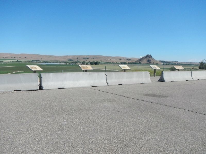
Malheur Butte is in the background. br
This marker is second from the right.
Credits. This page was last revised on August 18, 2017. It was originally submitted on August 18, 2017, by Barry Swackhamer of Brentwood, California. This page has been viewed 1,033 times since then and 88 times this year. Photos: 1, 2. submitted on August 18, 2017, by Barry Swackhamer of Brentwood, California.
