
Yarmouth in Yarmouth County, Nova Scotia — The Atlantic Provinces (North America)
Seafaring Sons of Yarmouth County
Photographed by William Fischer, Jr., July 24, 2017
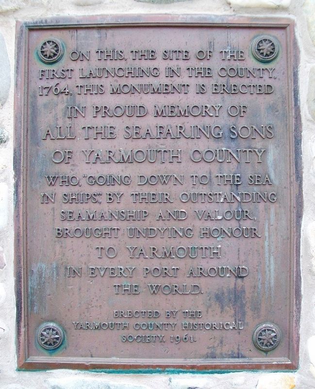
1. Seafaring Sons of Yarmouth County Marker
first launching in the county,
1764, this monument is erected
in proud memory of
all the seafaring sons
of Yarmouth County
who, "going down to the sea
in ships," by their outstanding
seamanship and valour,
brought undying honour
to Yarmouth
in every port around
the world.
Erected 1961 by Yarmouth County Historical Society.
Topics. This historical marker is listed in these topic lists: Industry & Commerce • Waterways & Vessels. A significant historical year for this entry is 1764.
Location. 43° 49.128′ N, 66° 8.579′ W. Marker is in Yarmouth, Nova Scotia, in Yarmouth County. It is on Yarmouth Bar Road (Nova Scotia Route 304), on the left when traveling south. Touch for map. Marker is at or near this postal address: 1045 Yarmouth Bar Road, Yarmouth NS B5A 4A7, Canada. Touch for directions.

Regionally, this marker is in Nova Scotia’s Yarmouth and the Acadian Shores. It is also in the Maritimes and in Atlantic Canada. Globally, it is in the North Atlantic Region, North America, the Western Hemisphere, the Western World, and the Anglosphere. Historically,
this page online
Other nearby markers. At least 8 other markers are within 3 kilometers of this marker, measured as the crow flies: Shipbuilding in Nova Scotia / Construction navale en Nouvelle-Écosse (approx. 1.7 kilometers away); M.V. Bluenose Anchor (approx. 2.6 kilometers away); Ballard [sic - Bollard] (approx. 2.6 kilometers away); Bell (approx. 2.6 kilometers away); The Killam Brothers Buildings & Wharf (approx. 2.6 kilometers away); the Parker-Eakins Buildings & Wharf (approx. 2.7 kilometers away); the Yarmouth-Boston Ferry (approx. 2.7 kilometers away); Lost to the Sea (approx. 2.8 kilometers away). Touch for a list and map of all markers in Yarmouth.
Also see . . .
1. A Brief Town of Yarmouth History. Town website entry (Submitted on August 20, 2017, by William Fischer, Jr. of Reynoldsburg, Ohio.)
2. Yarmouth County Museum and Archives. Museum website homepage (Submitted on August 20, 2017, by William Fischer, Jr. of Reynoldsburg, Ohio.)
3. Welcome to W. Laurence Sweeney Fisheries Museum. Museum homepage. (Submitted on July 27, 2020, by Larry Gertner of New York, New York.)
Photographed by William Fischer, Jr., July 24, 2017
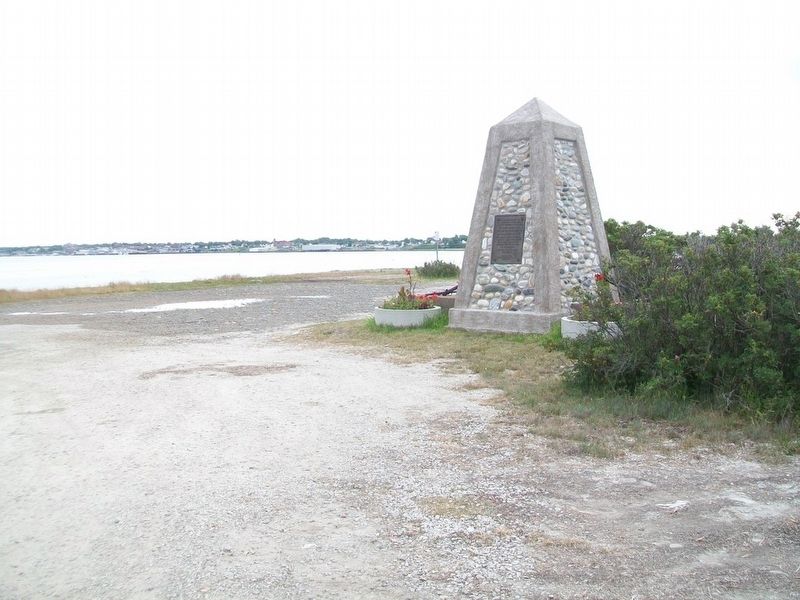
2. Seafaring Sons of Yarmouth County Monument
Photographed by William Fischer, Jr., July 24, 2017
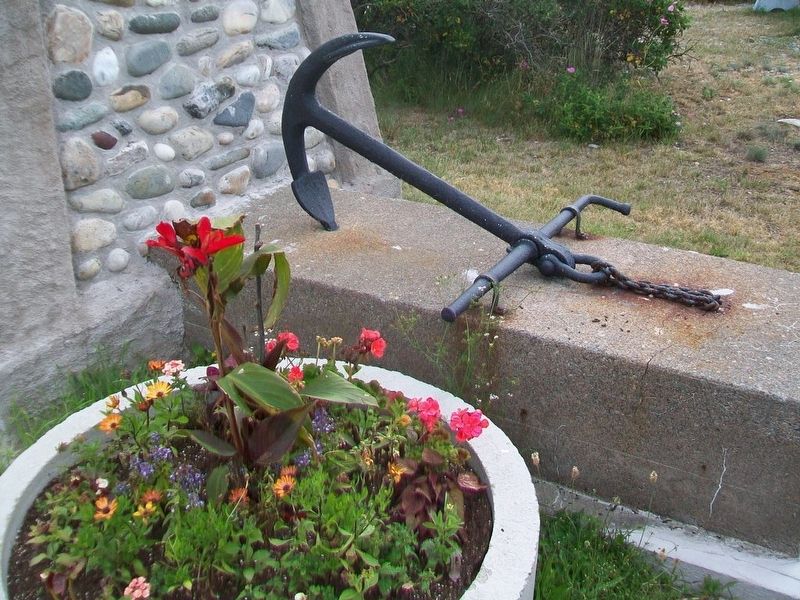
3. Seafaring Sons of Yarmouth County Monument Anchor
Credits. This page was last revised on December 21, 2025. It was originally submitted on August 20, 2017, by William Fischer, Jr. of Reynoldsburg, Ohio. This page has been viewed 398 times since then and 14 times this year. Photos: 1, 2, 3. submitted on August 20, 2017, by William Fischer, Jr. of Reynoldsburg, Ohio.
