
Saratoga in Carbon County, Wyoming — The American West (Mountains)
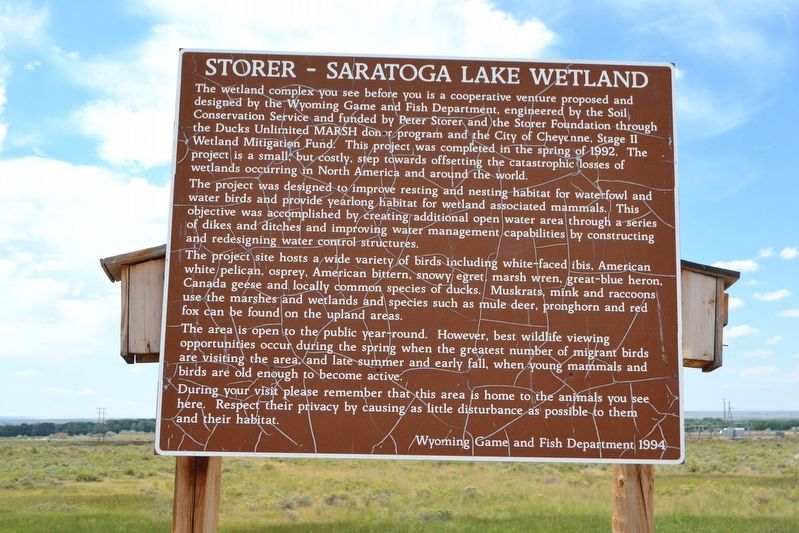
Storer - Saratoga Lake Wetland
Photographed by Duane Hall, July 17, 2017
1. Storer - Saratoga Lake Wetland Marker
The project was designed to improve resting and nesting habitat for waterfowl and water birds and provide yearlong habitat for wetland associated mammals. This objective was accomplished by creating additional open water area through a series of dikes and ditches and improving water management capabilities by constructing and redesigning water control structures.
The project site hosts a wide variety of birds including white-faced ibis, American white pelican, osprey, American bittern, snowy egret, marsh wren, great-blue heron, Canada geese and locally common species of ducks. Muskrats, mink and raccoons
this page online
The area is open to the public year-round. However, best wildlife viewing opportunities occur during the spring when the greatest number of migrant birds are visiting the area, and late summer and early fall, when young mammals and birds are old enough to become active.
During your visit please remember that this area is home to the animals you see here. Respect their privacy by causing as little disturbance as possible to them and their habitat.
Erected 1994 by Wyoming Game and Fish Department.
Topics. This historical marker is listed in these topic lists: Animals • Environment. A significant historical year for this entry is 1992.
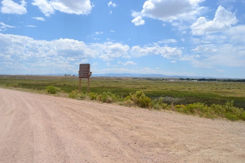
Location. 41° 28.476′ N, 106° 47.502′ W. Marker is in Saratoga, Wyoming, in Carbon County. It is on Unnamed Road half a mile north of Saratoga Lake Campground Road, on the left when traveling north. Marker is on dirt access road along west shore of Saratoga Lake, one-half mile north of the campground. Touch for map. Marker is in this post office area: Saratoga WY 82331, United
Photographed by Duane Hall, July 17, 2017
2. Storer - Saratoga Lake Wetland

Regionally, this marker is in Wyoming’s Westward Expansion Trails Region. It is also in the American Mountain West. Globally, it is in North America, the Rocky Mountains, the Western Hemisphere, the Western World, and the Anglosphere. Historically, it finds itself in what was once the Republic of Texas.
Other nearby markers. At least 2 other markers are within 10 miles of this marker, measured as the crow flies: Saratoga, Carbon County Veterans Memorial (approx. 1.6 miles away); This Marker on the Overland Trail (approx. 9.7 miles away).
Credits. This page was last revised on August 20, 2017. It was originally submitted on August 20, 2017, by Duane Hall of Abilene, Texas. This page has been viewed 753 times since then and 41 times this year. Photos: 1, 2. submitted on August 20, 2017, by Duane Hall of Abilene, Texas.
