Thunder Bay in Thunder Bay District, Ontario — Central Canada (North America)
C.D. Howe
(1886-1960)
Photographed by Kevin Craft, July 10, 2017
1. C.D. Howe Marker
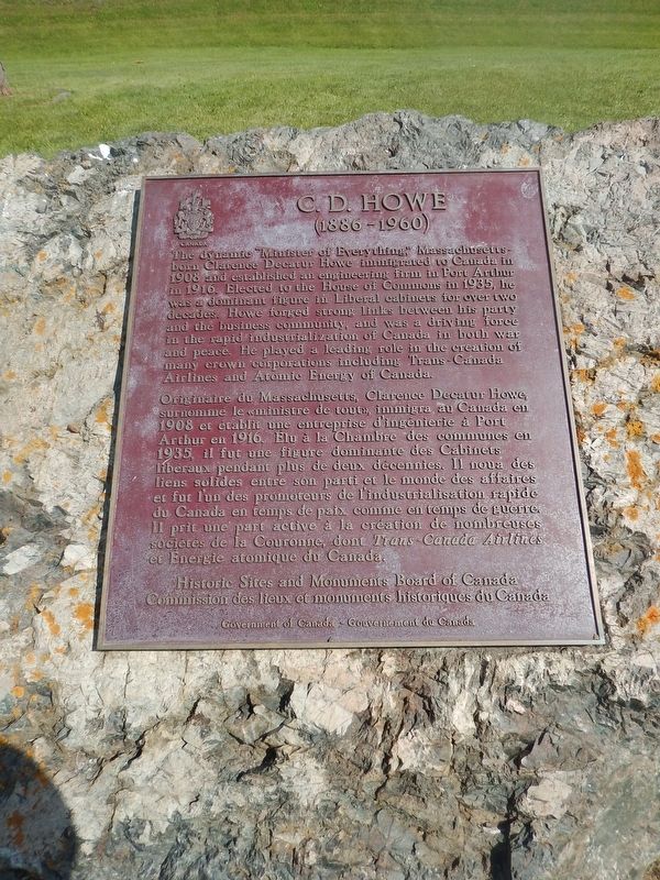
The dynamic "Minister of Everything", Massachusetts-born Clarence Decatur Howe immigrated to Canada in 1908 and established an engineering firm in Port Arthur in 1916. Elected to the House of Commons in 1935, he was a dominate figure in Liberal cabinets for over two decades. Howe forged strong links between his party and the business community, and was a driving force in the rapid industrialization of Canada in both war and peace. He played a leading role in the creation of many crown corporations including Trans-Canada Airlines and Atomic Energy of Canada.
Erected by Historic Sites and Monuments Board of Canada.
Topics and series. This historical marker is listed in these topic lists: Air & Space • Industry & Commerce • Science & Medicine • Settlements & Settlers. In addition, it is included in the Canada, Historic Sites and Monuments Board series list. A significant historical date for this entry is January 15, 1886.
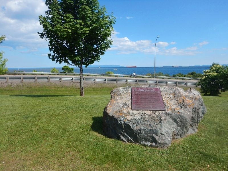
Location. 48° 26.278′ N, 89° 12.75′ W. Marker is in Thunder Bay, Ontario, in Thunder Bay District. It can be reached from Marina Park Drive. Marker is located in a parking area off Marina Park Drive
this page online

Regionally, this marker is in Northern Ontario and specifically in Northwest Ontario. It is also in Central Canada. Globally, it is in North America, in the Great North Woods, on the Great Lakes, on Lake Superior’s North Shore, in the Western Hemisphere, in the Western World, and in the Anglosphere. Historically, it finds itself in what was once a British colony, the Viceroyalty of New France, the Haudenosaunee (Iroquois) Confederacy, and Rupert’s Land.
Other nearby markers. At least 8 other markers are within walking distance of this marker: Historic Tyndall Stone (a few steps from this marker); International Taiji Park (approx. 0.4 kilometers away); Sir William C. Van Horne (approx. 0.4 kilometers away); Canadian Navy (approx. half a kilometer away); Whalen Building (approx. half a kilometer away); Thunder Bay Tourist Pagoda (approx. 0.6 kilometers away); The Tourist Pagoda (approx. 0.6 kilometers away); Port Arthur (approx. 0.6 kilometers away). Touch for a list and map
Photographed by Kevin Craft, July 10, 2017
2. Wideview of C.D. Howe Marker
Also see . . . Wikipedia - C.D. Howe. (Submitted on August 22, 2017, by Kevin Craft of Bedford, Quebec.)
Credits. This page was last revised on January 1, 2020. It was originally submitted on August 22, 2017, by Kevin Craft of Bedford, Quebec. This page has been viewed 369 times since then and 18 times this year. Photos: 1, 2. submitted on August 22, 2017, by Kevin Craft of Bedford, Quebec.
