Schreiber in Thunder Bay District, Ontario — Central Canada (North America)
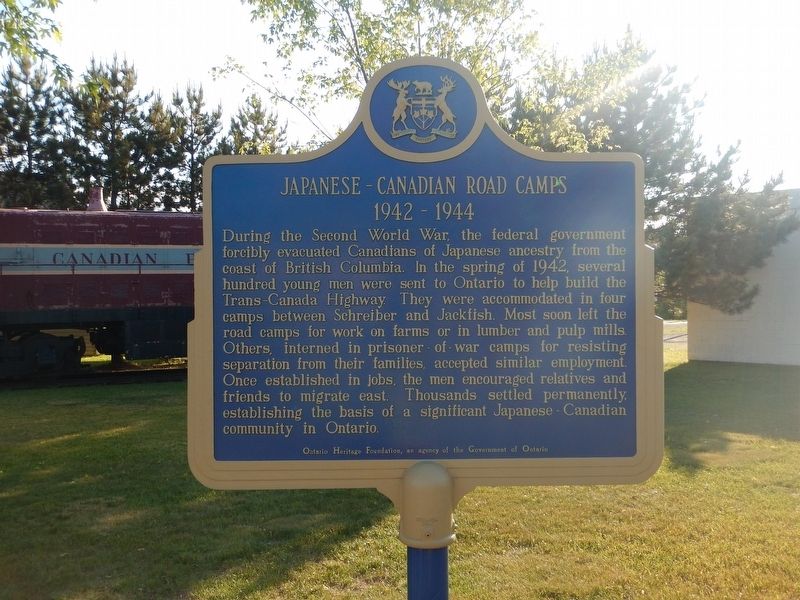
Japanese-Canadian Road Camps
1942-1944
During the Second World War, the federal government forcibly evacuated Canadians of Japanese ancestry from the coast of British Columbia. In the spring of 1942, several hundred young men were sent to Ontario to help build the Trans-Canada Highway. They were accommodated in four camps between Schreiber and Jackfish. Most soon left the road camps for work on farms or in lumber and pulp mills. Others, interned in prisoner-of-war camps for resisting separation from their families, accepted similar employment. Once established in jobs, the men encouraged relatives and friends to migrate east. Thousands settled permanently, establishing the basis of a significant Japanese-Canadian community in Ontario.
Erected by Ontario Heritage Foundation.
Topics. This historical marker is listed in these topic lists: Government & Politics • Notable Events • War, World II. A significant historical year for this entry is 1942.
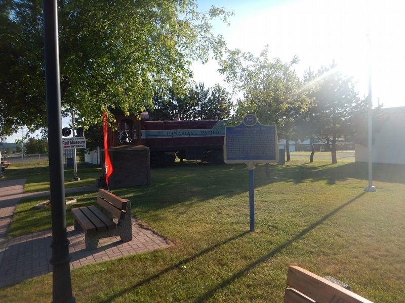
Location. 48° 48.45′ N, 87° 16.01′ W. Marker is in Schreiber, Ontario, in Thunder Bay District. Marker is at the intersection of Scotia Street and Winnipeg Street, on the right when traveling east on Scotia Street. Marker is located in the town park near the cenotaph. Touch for map. Marker is in this post office area: Schreiber ON P0T 2S0, Canada. Touch for directions.
Other nearby markers. At least 3 other markers are within 13 kilometers of this marker, measured as the crow flies. Schreiber World War I Memorial (here, next to this marker); Sir Collingwood Schreiber (a few steps from this marker); Glacial Terraces (approx. 12.4 kilometers away).
Credits. This page was last revised on August 23, 2017. It was originally submitted on August 23, 2017, by Kevin Craft of Bedford, Quebec. This page has been viewed 172 times since then and 10 times this year. Photos: 1, 2. submitted on August 23, 2017, by Kevin Craft of Bedford, Quebec.

