Amatitlán, Guatemala Department — Central America
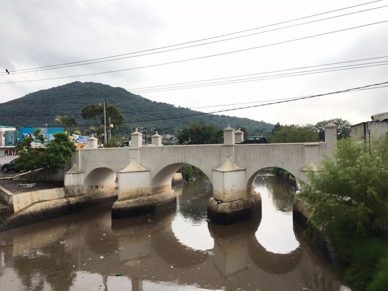
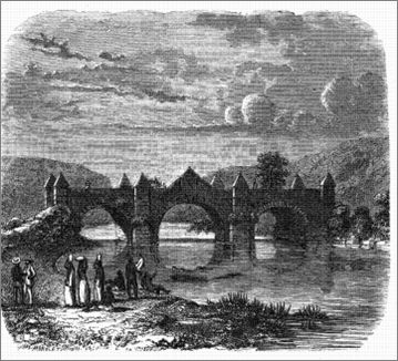
The Bridge of Glory
The Mill Bridge
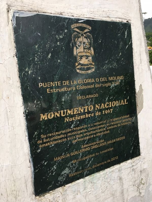
Estructura Colonial del siglo XVI
declarado
Monumento Nacional
Noviembre de 1967
Su restauración responde a la voluntad y responsabilidad
de autoridades municipales, conscientes en rescatar para los
amatitlanecos esta joya arquitectónica, símbolo de historia,
permanencia e identidad.
Administracion
Mainor Guillermo Orellana Mazariegos
Municipalidad de Amatitlán
Restauración, diciembre de 2012
This sixteenth century colonial structure has been declared a National Monument
November 1967
Its restoration is due to the will and responsibility of municipal authorities, aware of the importance of rescuing this architectural jewel of Amatitlán as a symbol of history, permanence and identity.
Administration of
Mainor Guillermo Orellana Mazariegos
Municipality of Amatitlán
Date of the restoration, December 2012
Erected 2012 by Municipalidad de Amatitlán.
Topics. This historical marker is listed in these topic lists: Bridges & Viaducts • Colonial Era • Industry & Commerce • Patriots & Patriotism. A significant historical month for this entry is November 1967.
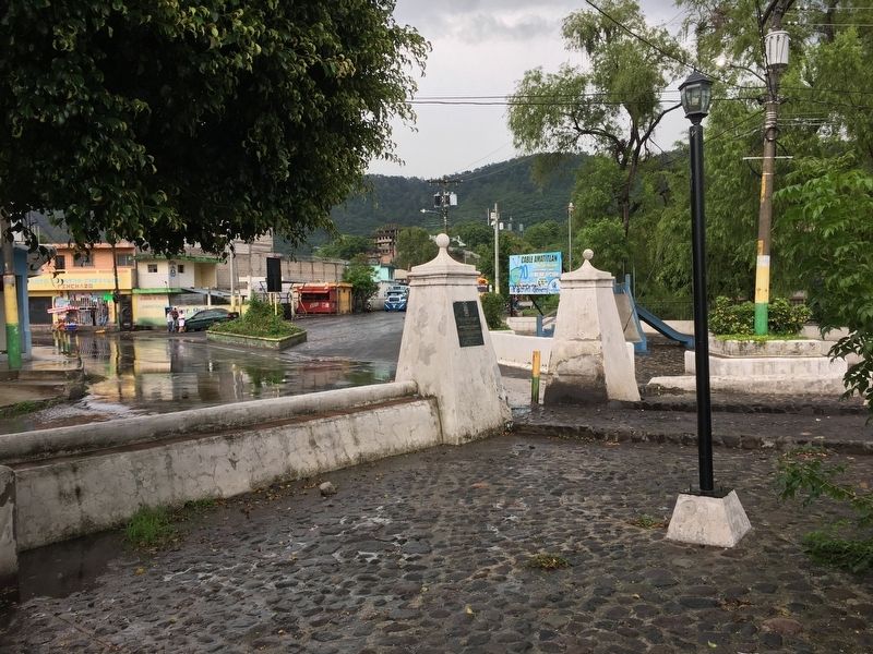
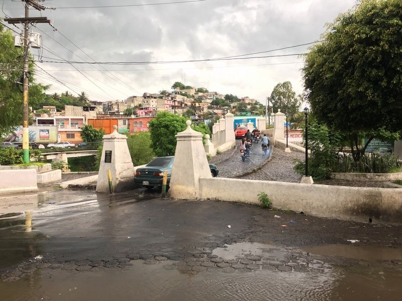
Location. 14° 28.88′ N, 90° 36.933′ W. Marker is in Amatitlán, Guatemala (Guatemala Department). Marker is at the intersection of 2a Calle and 0 Avenida, on the right when traveling east on 2a Calle. The marker is located on a large column on the western side of the bridge. Touch for map. Marker is in this post office area: Amatitlán, Guatemala 01063, Guatemala. Touch for directions.
Other nearby markers. At least 8 other markers are within 14 kilometers of this marker, measured as the crow flies. Santo Tomás Milpas Altas (approx. 10.5 kilometers away in Sacatepéquez); The Ceiba, Guatemala's National Tree (approx. 12.4 kilometers away in Escuintla); José Luis de León Diaz (approx. 12.9 kilometers away in Sacatepéquez); The Church of the First Bishop of Guatemala (approx. 13 kilometers away in Sacatepéquez); Assassination of Mario López Larrave (approx. 13.6 kilometers away); Martyrs' Plaza of the University of San Carlos of Guatemala (approx. 13.7 kilometers away); 300th Anniversary of the Founding of the San Carlos University of Guatemala (approx. 13.8 kilometers away); Oliverio Castañeda de León (approx. 13.8 kilometers away).
Additional commentary.
Photographed By J. Makali Bruton, May 27, 2017
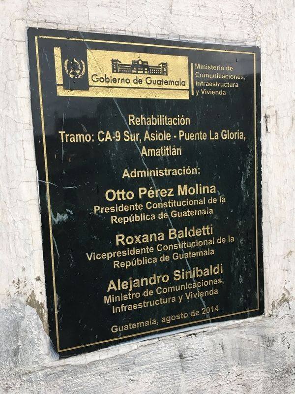
2. An additional marker on the Bridge of Glory
This additional dedicatory marker from 2014 is extremely interesting as it includes the names of the then-President, Vice President and Minister of Communications when the bridge's restoration was celebrated. Currently, ex-President Molina and ex-Vice President Baldetti are in prison, awaiting trial for fraud. The whereabouts of ex-Minister Sinibaldi are currently unknown, as he is a fugitive attempting to escape fraud charges.
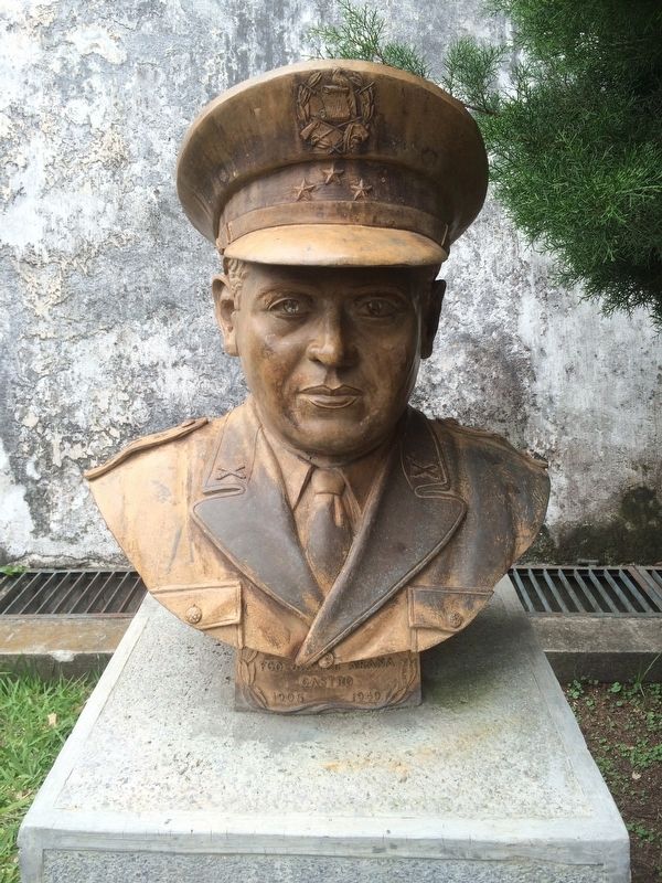
1. Death of Francisco Javier Arana at the bridge in 1949
Francisco Javier Arana (b. Villa Canales, December 3, 1905 - d. Amatitlán, July 18, 1949) was a Guatemalan military man who was part of the Revolutionary Junta of 1944, along with Captain Jacobo Arbenz and civilian Jorge Toriello Garrido. After supporting the movement that overthrew General Federico Ponce Vaides on October 20, 1944, the Governmental Junta called for presidential elections, in which Doctor Juan José Arévalo was elected. In this government Arana occupied the position of the Chief of Staff of the Army. In 1949 Arana presented an ultimatum to President Arévalo where Arana would allow him to finish his government in 1951, as long as Arana was the next presidential candidate. After a series of confusing actions that came about because of this ultimatum, Arana was killed while resisting arrest here at the Bridge of Glory. His killing was never solved, most likely due to the government's need to show unity. Regardless, with the 1954 counter-revolution of Armas, this and many other incidents were relegated to the past.
— Submitted August 26, 2017, by J. Makali Bruton of Accra, Ghana.
Credits. This page was last revised on July 28, 2023. It was originally submitted on August 26, 2017, by J. Makali Bruton of Accra, Ghana. This page has been viewed 318 times since then and 17 times this year. Photos: 1, 2, 3, 4, 5, 6. submitted on August 26, 2017, by J. Makali Bruton of Accra, Ghana. 7. submitted on August 2, 2018, by J. Makali Bruton of Accra, Ghana.
