Near Eatonton in Putnam County, Georgia — The American South (South Atlantic)
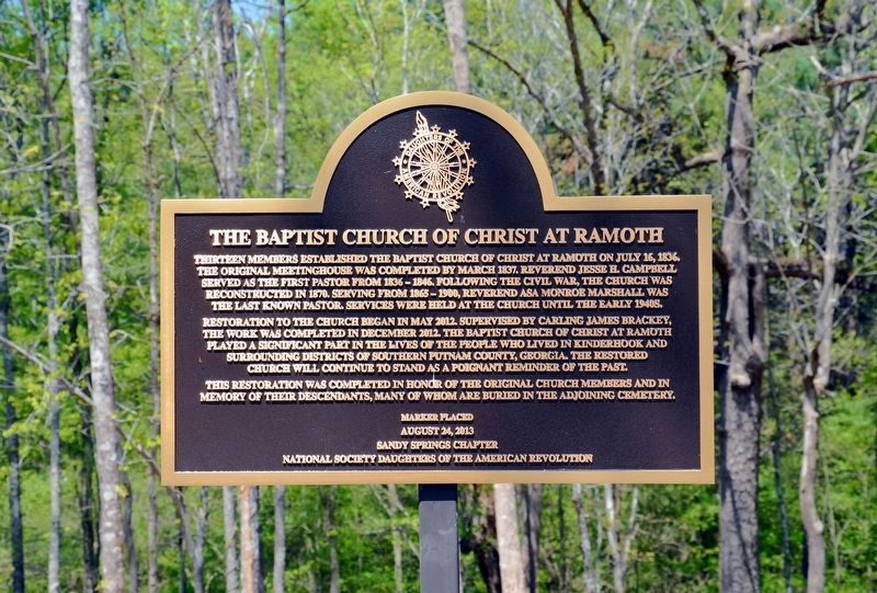
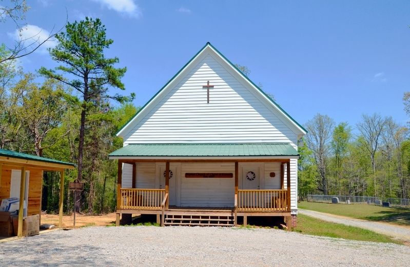
The Baptist Church of Christ at Ramoth
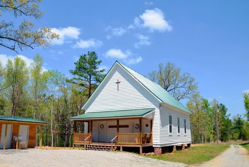
Restoration to the church began in May 2012. Supervised by Carling James Brackey, the work was completed in December 2012. The Baptist Church of Christ at Ramoth played a significant part in the lives of people who live in Kinderhook and surrounding districts of southern Putnam County, Georgia. The restored church will continue to stand as a poignant reminder of the past.
The restoration was completed in honor of the original church members and in memory of their descendants, many of whom are buried in the adjoining cemetery.
Erected 2013 by Sandy Springs Chapter, National Society Daughters of the American Revolution.
Topics and series. This historical marker is listed in these topic lists: Cemeteries & Burial Sites • Churches & Religion. In addition, it is included in the Daughters of the American Revolution series list. A significant historical date for this entry is July 16, 1836.
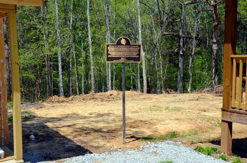
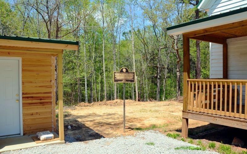
Location. 33° 12.683′ N, 83° 25.917′ W. Marker is near Eatonton, Georgia, in Putnam County. Marker is on Pierce Chapel Road SW, half a mile north of Gray Road SW (U.S. 129), on the left when traveling north. The church can be seen from Pierce Chapel Road with slight difficulty. It is a short distance up a driveway from the road. Touch for map. Marker is in this post office area: Eatonton GA 31024, United States of America. Touch for directions.
Other nearby markers. At least 8 other markers are within 9 miles of this marker, measured as the crow flies. Cobb's Quarter, Sherman's Campsite (approx. 6.8 miles away); Howell Cobb Plantation (approx. 6.8 miles away); Blountsville (approx. 7.6 miles away); a different marker also named Blountsville (approx. 7.6 miles away); Uncle Remus Museum (approx. 8 miles away); The Town Well Shelter (approx. 8 miles away); Branch Bank of the State of Georgia at Eatonton (approx. 8.3 miles away); Putnam County Court House (approx. 8.3 miles away). Touch for a list and map of all markers in Eatonton.
Credits. This page was last revised on September 25, 2017. It was originally submitted on August 27, 2017, by David Seibert of Sandy Springs, Georgia. This page has been viewed 299 times since then and 35 times this year. Photos: 1, 2, 3, 4, 5. submitted on August 27, 2017, by David Seibert of Sandy Springs, Georgia.
