West Point in Clay County, Mississippi — The American South (East South Central)
Mary Holmes College
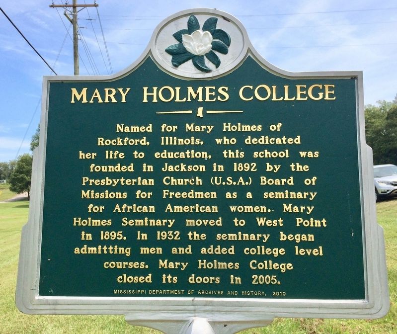
Photographed by Mark Hilton, August 25, 2017
1. Mary Holmes College Marker
Erected 2010 by Mississippi Department of Archives and History.
Topics and series. This historical marker is listed in these topic lists: African Americans • Education • Women. In addition, it is included in the Historically Black Colleges and Universities, and the Mississippi State Historical Marker Program series lists. A significant historical year for this entry is 1892.
Location. 33° 36.439′ N, 88° 40.09′ W. Marker is in West Point, Mississippi, in Clay County. It is at the intersection of Mississippi Route 50 and Fagan Boulevard, on the right when traveling west on Mississippi Route 50. Touch for map. Marker is at or near this postal address: 1032 MS-50, West Point MS 39773, United States of America. Touch for directions.

Regionally,
this page online
Other nearby markers. At least 8 other markers are within 4 miles of this marker, measured as the crow flies: Waverley (approx. half a mile away); West Point (approx. 1.2 miles away); Howlin' Wolf (approx. 1.2 miles away); Clay County World War I Memorial (approx. 1.2 miles away); Prehistoric Indian Burial Mound (approx. 2½ miles away); Chickasaw Burial Ground (approx. 2½ miles away); Indian Camp Ground (approx. 2½ miles away); Payne Field Site (approx. 3.4 miles away). Touch for a list and map of all markers in West Point.
Also see . . . Wikipedia article on Mary Holmes College. (Submitted on August 27, 2017, by Mark Hilton of Montgomery, Alabama.)
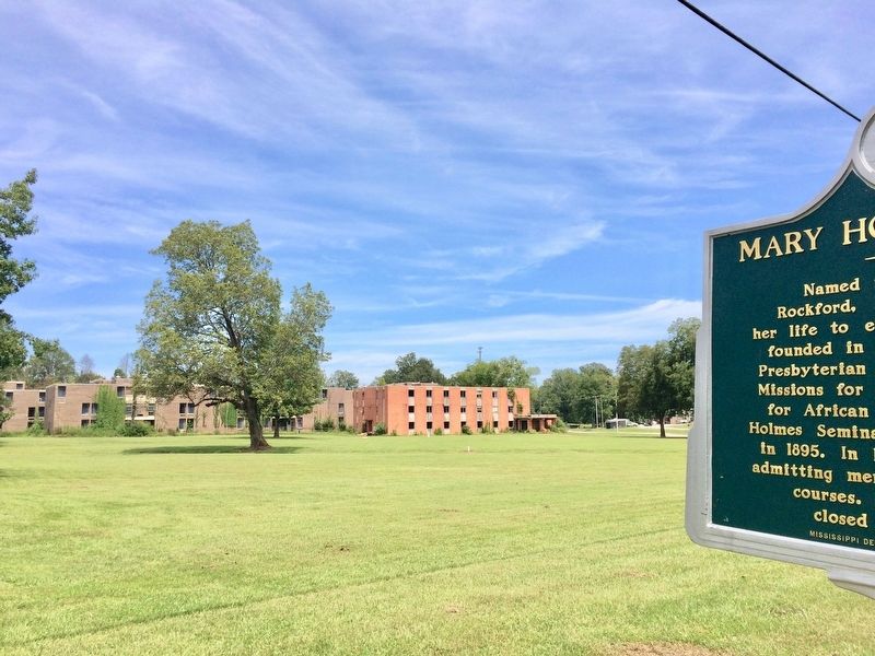
Photographed by Mark Hilton, August 25, 2017
2. Former Mary Holmes College empty buildings in background.
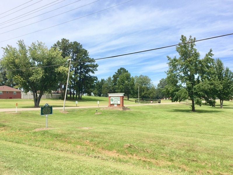
Photographed by Mark Hilton, August 25, 2017
3. Mary Holmes College Marker
Credits. This page was last revised on August 27, 2017. It was originally submitted on August 27, 2017, by Mark Hilton of Montgomery, Alabama. This page has been viewed 1,018 times since then and 80 times this year. Photos: 1, 2, 3. submitted on August 27, 2017, by Mark Hilton of Montgomery, Alabama.
