Terrace Bay in Thunder Bay District, Ontario — Central Canada (North America)
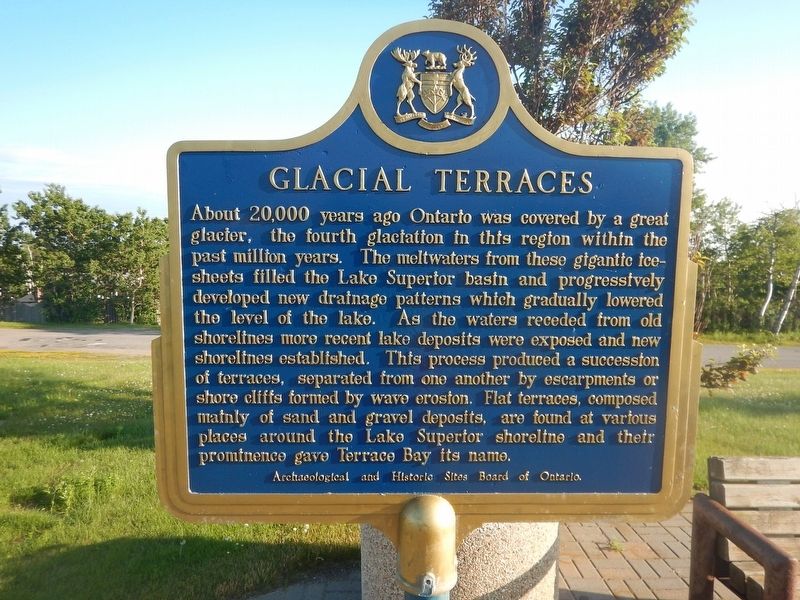
Glacial Terraces
About 20,000 years ago Ontario was covered by a great glacier, the fourth glaciation in this region within the past million years. The meltwaters from these gigantic ice-sheets filled the Lake Superior basin and progressively developed new drainage patterns which gradually lowered the level of the lake. As the waters receded from old shorelines more recent lake deposits where exposed and new shorelines established. This process produced a succession of terraces, separated from one another by escarpments or shore cliffs formed by wave erosion. Flat terraces, composed mainly of sand and gravel deposits, are found at various places around the Lake Superior shoreline and their prominence gave Terrace Bay its name.
Erected by Archaeological and Historic Sites Board of Ontario.
Topics. This historical marker is listed in this topic list: Natural Features.
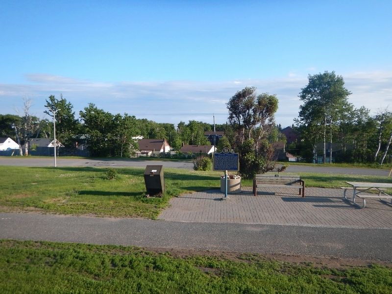
Location. 48° 46.888′ N, 87° 6.152′ W. Marker is in Terrace Bay, Ontario, in Thunder Bay District. Marker is on Trans-Canada Highway (Provincial Highway 17) 0.3 kilometers east of Lakeview Drive, on the right when traveling east. Marker is located in the town park across from the Terrace Bay Lighthouse (a replica built in 2011). Touch for map. Marker is in this post office area: Terrace Bay ON P0T 2W0, Canada. Touch for directions.
Other nearby markers. At least 3 other markers are within 13 kilometers of this marker, measured as the crow flies. Japanese-Canadian Road Camps (approx. 12.4 kilometers away); Sir Collingwood Schreiber (approx. 12.4 kilometers away); Schreiber World War I Memorial (approx. 12.4 kilometers away).
Credits. This page was last revised on August 28, 2017. It was originally submitted on August 28, 2017, by Kevin Craft of Bedford, Quebec. This page has been viewed 157 times since then and 23 times this year. Photos: 1, 2. submitted on August 28, 2017, by Kevin Craft of Bedford, Quebec.

