
Near North Bay in Nipissing District, Ontario — Central Canada (North America)
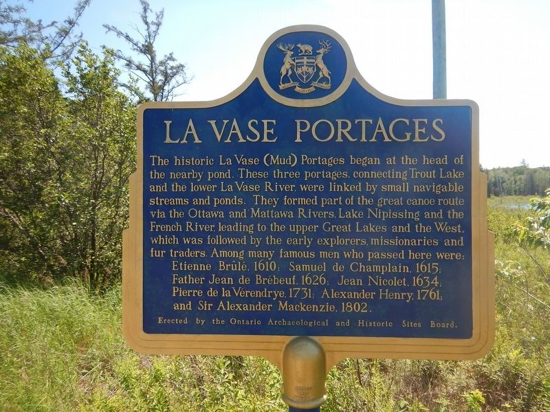
La Vase Portages
Photographed by Kevin Craft, July 11, 2017
1. La Vase Portages Marker
Father Jean de Brébeuf, 1626; Jean Nicolet, 1634;
Pierre de la Vérendrye, 1731; Alexander Henry, 1761;
and Sir Alexander MacKenzie, 1802.
Erected by Ontario Archaeological and Historic Sites Board.
Topics and series. This historical marker is listed in these topic lists: Exploration • Waterways & Vessels. In addition, it is included in the Canada, Ontario Heritage Trust series list.
Location. 46° 18.166′ N, 79° 23.048′ W. Marker is near North Bay, Ontario, in Nipissing District. It is on Trans-Canada Highway (Provincial Highway 17) 3.5 kilometers east
this page online

Regionally, this marker is in Northeastern Ontario and specifically in Northern Ontario. It is also in Central Canada. Globally, it is in North America, the Great North Woods, the Western Hemisphere, the Western World, and the Anglosphere. Historically, it finds itself in what was once a British colony, the Viceroyalty of New France, the Haudenosaunee (Iroquois) Confederacy, and Rupert’s Land.
Other nearby markers. At least 8 other markers are within 6 kilometers of this marker, measured as the crow flies: Nipissing District North Bay Jail (approx. 4.4 kilometers away); Veterans Fields (approx. 5.5 kilometers away); The Bomarc Missile (approx. 5.5 kilometers away); The CF100 Canuck (approx. 5.6 kilometers away); Jean Nicolet (approx. 5.6 kilometers away); Gateway of the North Arch (approx. 5.6 kilometers away); Golf Street / Lee Park (approx. 5.8 kilometers away); The Ontario Northland
Photographed by Kevin Craft, July 11, 2017
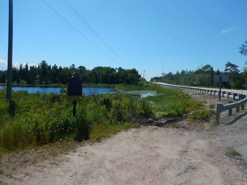
2. Wideview of La Vase Portages Marker
Credits. This page was last revised on October 23, 2019. It was originally submitted on August 28, 2017, by Kevin Craft of Bedford, Quebec. This page has been viewed 456 times since then and 30 times this year. Photos: 1, 2. submitted on August 28, 2017, by Kevin Craft of Bedford, Quebec.
