Randolph in Charlotte County, Virginia — The American South (Mid-Atlantic)
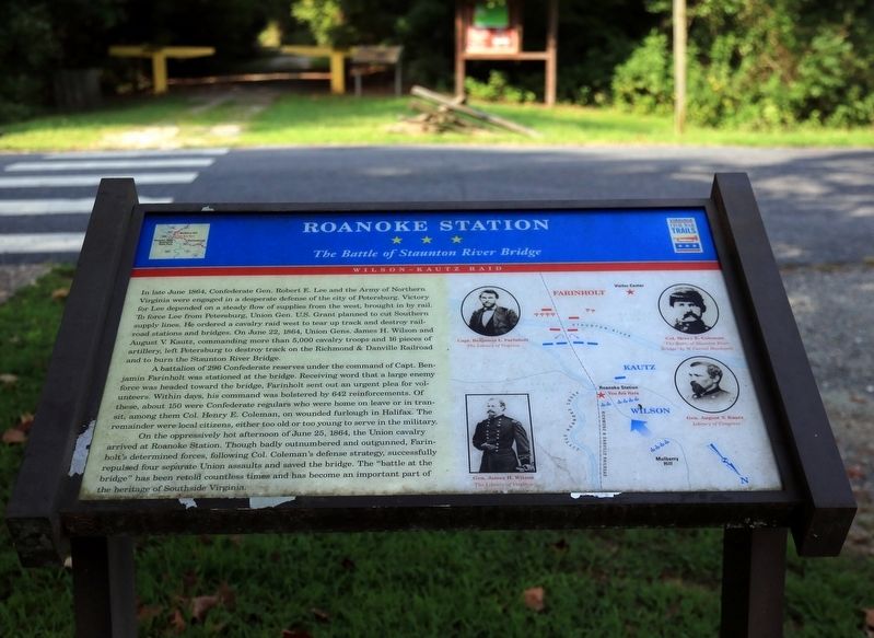
Roanoke Station
The Battle of Staunton River Bridge
— Wilson-Kautz Raid —
A battalion of 296 Confederate reserves under the command of Capt. Benjamin Farinholt was stationed at the bridge. Receiving word that a large enemy force was headed toward the bridge, Farinholt sent out an urgent plea for volunteers. Within days, his command was bolstered by 642 reinforcements. Of these, about 150 were Confederate regulars who were home on leave or in transit, among them Col. Henry E. Coleman, on wounded furlough in Halifax. The remainder were local citizens, either too old or too young to serve in the military.
On the oppressively hot afternoon of June 25, 1864, the Union cavalry arrived at Roanoke Station. Though badly outnumbered and outgunned, Farinholt’s determined forces, following Col. Coleman's defense strategy, successfully repulsed four separate Union assaults and saved the bridge. The “battle at the bridge” has been retold countless times and has become an important part of the heritage of Southside Virginia.
Erected by Civil War Trails.
Topics. This historical marker is listed in this topic list: War, US Civil. A significant historical date for this entry is June 25, 1864.
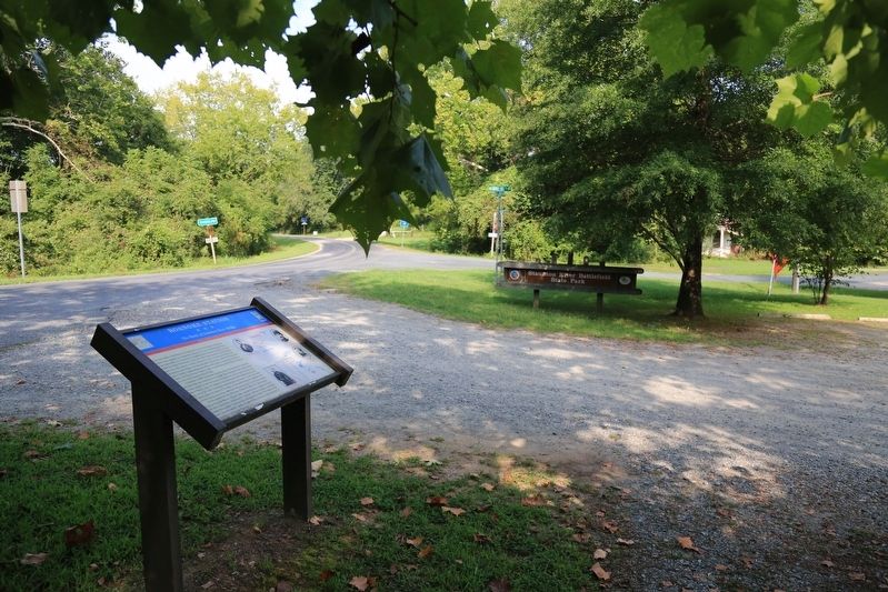
Location. 36° 53.613′ N, 78° 41.849′ W. Marker is in Randolph, Virginia, in Charlotte County. Marker is at the intersection of River Road (County Route 607) and Mulberry Hill Road (County Route 641), on the right when traveling west on River Road. Marker is in Staunton River Battlefield State Park north of the river. Touch for map. Marker is in this post office area: Randolph VA 23962, United States of America. Touch for directions.
Other nearby markers. At least 8 other markers are within 7 miles of this marker, measured as the crow flies. Wilson-Kautz Raid (a few steps from this marker); Wilson’s orders were to destroy the Richmond and Danville Railroad to the greatest extent possible (a few steps from this marker); The Battle of Staunton River Bridge (approx. 0.8 miles away); Carrington's Mill (approx. 3.1 miles away); Henrietta Lacks (approx. 5.7 miles away); The War of 1812 / War of 1812 Opposition — John Randolph (approx. 6.1 miles away); Wylliesburgh (approx. 6.3 miles away); Staunton Bridge Action (approx. 6.4 miles away). Touch for a list and map of all markers in Randolph.
More about this marker. Marker also shows a you-are-here map of the battle on the left side ringed with portraits of Captain Benjamin L. Farinholt, Colonel Henry E. Coleman, General August V. Kautz, and General James H. Wilson.
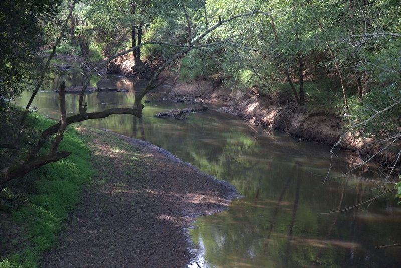
Regarding Roanoke Station. The railroad is no longer running through here, and the track has been taken up. Roanoke Station is now known as Randolph. There is a shady gravel path from the marker to the Staunton River bridge on the old railroad right-of-way. It is 0.8 miles to the bridge.
Also see . . . Wikipedia Entry for The Battle of Staunton River Bridge. “Realizing that he would be under the surveillance of Union scouts, Farinholt ordered a train to run continually along the line from his position to a station further south in order to create the impression that he was receiving continual reinforcements. The illusion was further strengthened by Mrs. Nancy Mcphail, Mulberry Hill plantation owner's
wife, who in addition to hosting Union wounded during the battle, informed the Union forces that up to 10,000 Confederate forces awaited them at the bridge. In reality, there were only 938 men.” (Submitted on August 28, 2017.)
Credits. This page was last revised on August 28, 2017. It was originally submitted on August 28, 2017, by J. J. Prats of Powell, Ohio. This page has been viewed 438 times since then and 22 times this year. Photos: 1, 2, 3. submitted on August 28, 2017, by J. J. Prats of Powell, Ohio.


