Randolph in Charlotte County, Virginia — The American South (Mid-Atlantic)
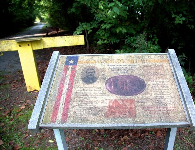
Wilsonís orders were to destroy the Richmond and Danville Railroad to the greatest extent possible
ó The Union Trail ó
Unprepared for the difficult job ahead of them, Wilson and Kautzís divisions reluctantly began their trek. The days leading to the battle of Staunton River Bridge sirekt trued the Union Cavalry, they had been forced to march in the worst heat in years. They were parched, hot, and exhausted and were being [unreadable].
From the beginning of the Battle of the Wilderness in 1864 to the end of the war a year later at Appomattox, General Ulysses S. Grantís desire was to destroy the railroads that kept the people of Richmond and Petersburg fed and gave General Robert E. Lee the road and supplies he needed to continue fighting. Grantís one goal was to destroy Leeís fighting capacity.
Topics. This historical marker is listed in this topic list: War, US Civil. A significant historical year for this entry is 1864.
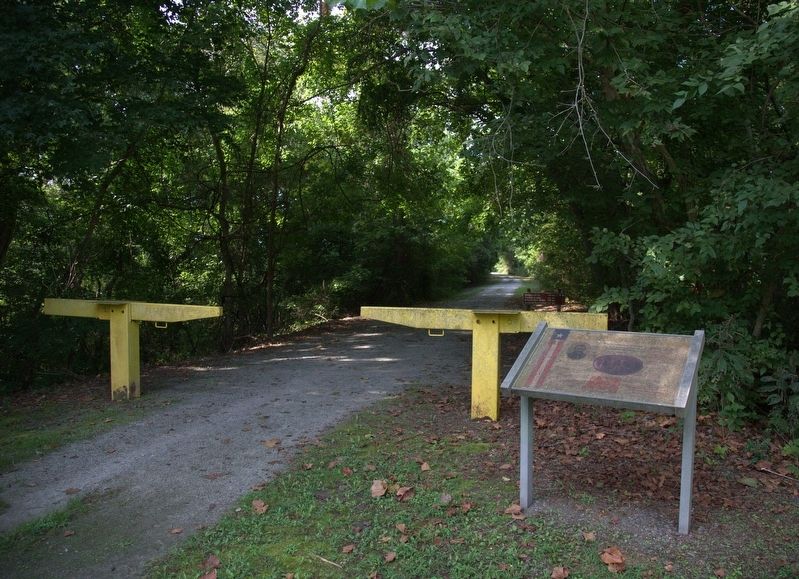
Location. 36° 53.603′ N, 78° 41.857′ W. Marker is unreadable. Marker is in Randolph, Virginia, in Charlotte County. Marker is at the intersection of River Road (County Route 607) and Mulberry Hill Road (County Route 641), on the left when traveling west on River Road. It is at the entrance to the trail to the Staunton River Bridge. Touch for map. Marker is in this post office area: Randolph VA 23962, United States of America. Touch for directions.
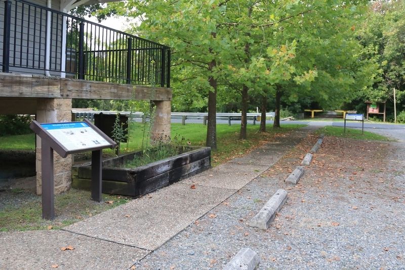
Other nearby markers. At least 8 other markers are within 7 miles of this location, measured as the crow flies. Roanoke Station (a few steps from this marker); Wilson-Kautz Raid (within shouting distance of this marker); The Battle of Staunton River Bridge (approx. 0.8 miles away); Carrington's Mill (approx. 3.1 miles away); Henrietta Lacks (approx. 5.7 miles away); The War of 1812 / War of 1812 Opposition ó John Randolph (approx. 6.1 miles away); Wylliesburgh (approx. 6.3 miles away); Staunton Bridge Action (approx. 6.4 miles away). Touch for a list and map of all markers in Randolph.
Credits. This page was last revised on August 28, 2017. It was originally submitted on August 28, 2017, by J. J. Prats of Powell, Ohio. This page has been viewed 242 times since then and 20 times this year. Photos: 1, 2, 3. submitted on August 28, 2017, by J. J. Prats of Powell, Ohio.


