Near Dundee in Coahoma County, Mississippi — The American South (East South Central)
Hernando De Soto Commemorative Bridge
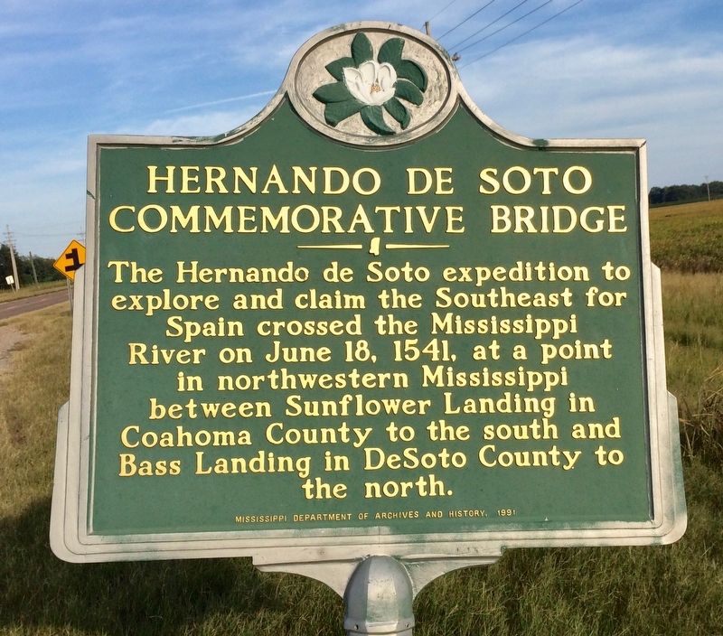
Photographed by Mark Hilton, August 25, 2017
1. Hernando De Soto Commemorative Bridge Marker
Erected 1991 by the Mississippi Department of Archives and History.
Topics and series. This historical marker is listed in these topic lists: Exploration • Waterways & Vessels. In addition, it is included in the Mississippi State Historical Marker Program series list. A significant historical date for this entry is June 18, 1541.
Location. 34° 29.11′ N, 90° 32.392′ W. Marker is near Dundee, Mississippi, in Coahoma County. It is at the intersection of U.S. 49 and State Route 1, on the right when traveling south on U.S. 49. Located on a roadside pull-off. Touch for map. Marker is in this post office area: Dundee MS 38626, United States of America. Touch for directions.

Regionally, this marker is in Greater Memphis. It is also in the American South, specifically in the Deep South, in the Mississippi Delta, and in the Great River Road Region. Globally, it
this page online
Other nearby markers. At least 8 other markers are within 4 miles of this marker, measured as the crow flies: "the gunboat Tyler saved the day" (approx. 3.4 miles away in Arkansas); "Hell-in-Arkansas" (approx. 3.4 miles away in Arkansas); What is the impact of stormwater on the Mississippi? (approx. 3.4 miles away in Arkansas); What is a bottled hardwood forest? (approx. 3.4 miles away in Arkansas); Helena's Contraband Camps (approx. 3.6 miles away in Arkansas); The Hard Road to Equal Rights (approx. 3.6 miles away in Arkansas); Freedom in Helena! (approx. 3.6 miles away in Arkansas); African American Troops Held This Ground (approx. 3.6 miles away in Arkansas).
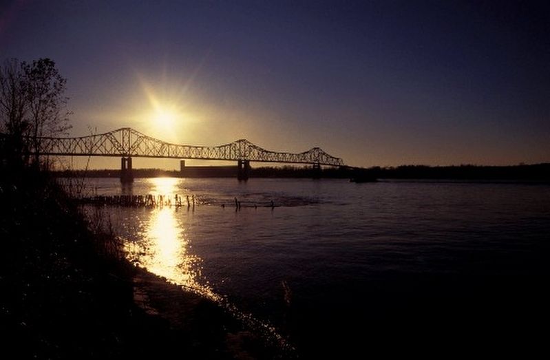
Regarding Hernando De Soto Commemorative Bridge. State of Mississippi designation of the Helena Bridge as the “Hernando de Soto Commemorative Bridge”:
From and after June 18, 1991, the Mississippi River Bridge on U.S. Highway 49 near Lula, Mississippi, from its easternmost point westward to the Arkansas state line, shall be named and designated the “Hernando de Soto Commemorative Bridge” in recognition, observation and commemoration of Spanish Explorer Hernando de Soto who discovered the Mississippi River on May 8, 1541, and subsequently crossed the river on June 18, 1541.
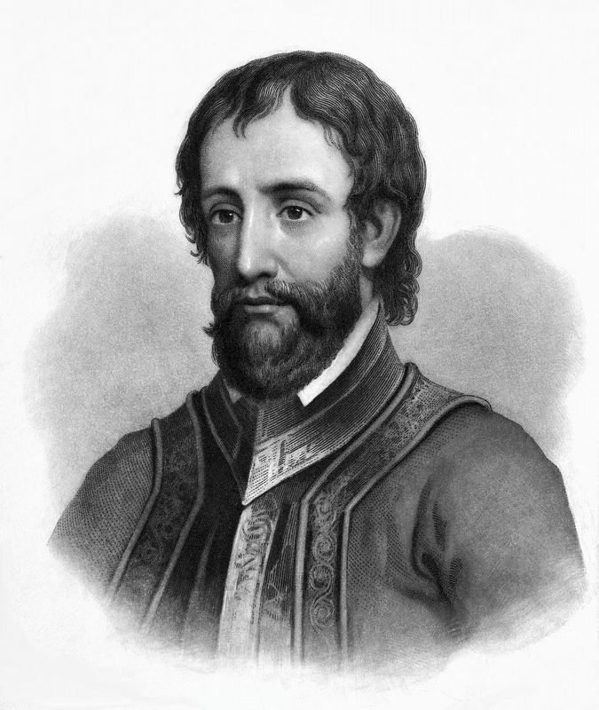
Public Domain
2. Hernando De Soto
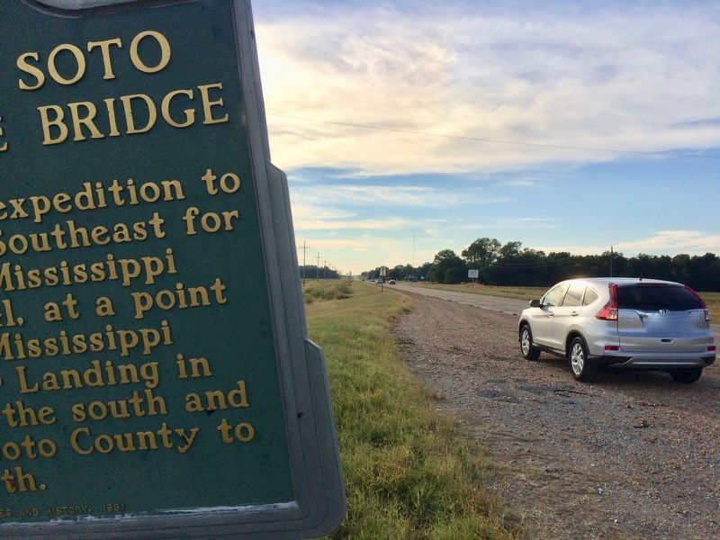
Photographed by Mark Hilton, August 25, 2017
3. Looking northwesterly with the Mississippi River bridge to Helena about 2.5 miles distant.
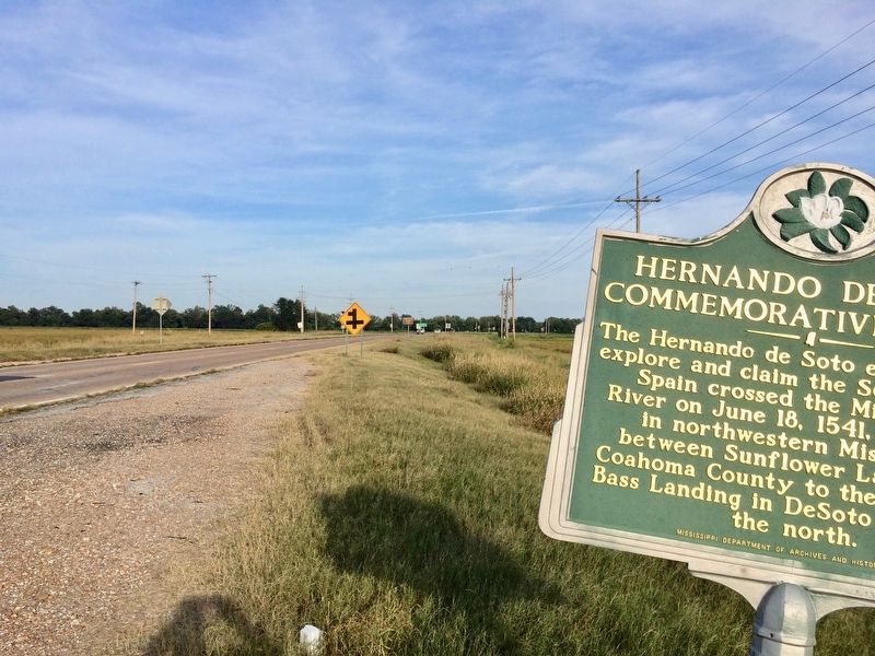
Photographed by Mark Hilton, August 25, 2017
4. View from marker southerly on Highway 49.
Public Domain
5. Hernando De Soto Commemorative Bridge - the Helena Bridge.
Credits. This page was last revised on August 29, 2017. It was originally submitted on August 29, 2017, by Mark Hilton of Montgomery, Alabama. This page has been viewed 733 times since then and 140 times this year. Photos: 1, 2, 3, 4, 5. submitted on August 29, 2017, by Mark Hilton of Montgomery, Alabama.
