Greenville in Washington County, Mississippi — The American South (East South Central)
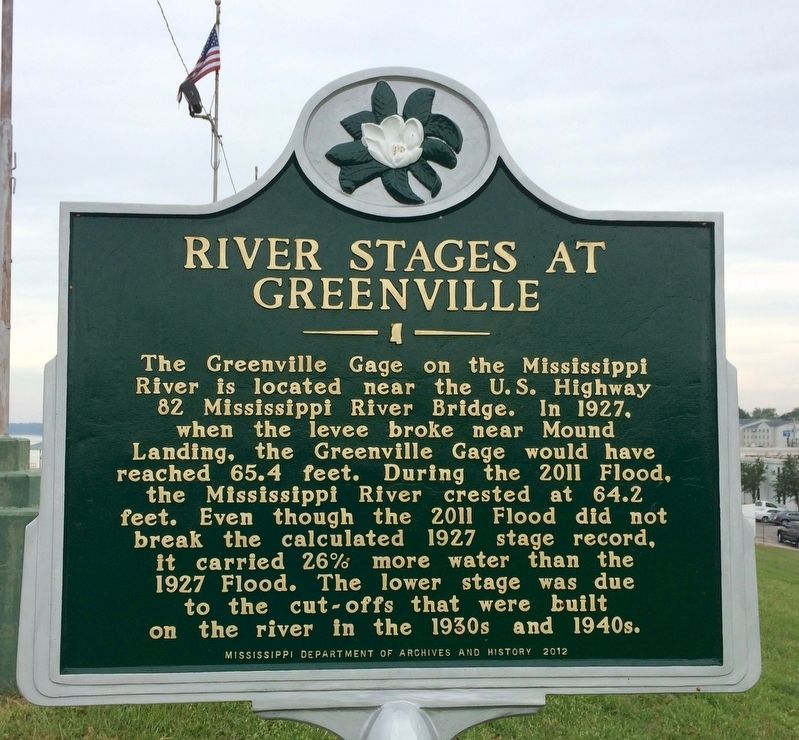
River Stages At Greenville
Photographed by Mark Hilton, August 27, 2017
1. River Stages At Greenville Marker
Erected 2012 by the Mississippi Department of Archives and History.
Topics and series. This historical marker is listed in these topic lists: Disasters • Waterways & Vessels. In addition, it is included in the Mississippi State Historical Marker Program series list. A significant historical year for this entry is 1927.
Location. 33° 24.669′ N, 91° 4.002′ W. Marker is in Greenville, Mississippi, in Washington County. It can be reached from Central Street west of South Walnut Street when traveling north. Located up at the top of the levee wall west of Walnut Street. Touch for map. Marker is at or near this postal address: 257 South Walnut
this page online

Regionally, this marker is in the American South, specifically in the Deep South, in the Mississippi Delta, and in the Great River Road Region. Globally, it is in North America, a Gulf of Mexico state, the Western Hemisphere, the Western World, and the Anglosphere. Historically, it finds itself in what was once New Spain, the territory of the Mississippian Culture, one of the Confederate States of America, and the Antebellum South.
Other nearby markers. At least 8 other markers are within walking distance of this marker: Mississippi River Levee (about 300 feet away, measured in a direct line); Where Main Street Meets the River (about 600 feet away); David "Honey Boy" Edwards (about 700 feet away); Charles K. Rickard (about 700 feet away); George "All Nite" Allen (about 800 feet away); James Michael Dill (about 800 feet away); B. B. King (approx. 0.2 miles away); Greenville Trolley System (approx. 0.2 miles away). Touch for a list and map of all markers in Greenville.
Also see . . . The Flood of 1927 and Its Impact in Greenville, Mississippi.
Photographed by Mark Hilton, August 27, 2017
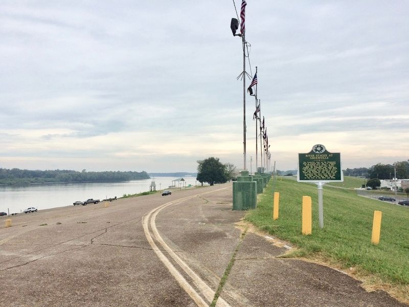
2. View of the River Stages At Greenville Marker looking north on the river and levee.
Photographed by Mark Hilton, August 27, 2017
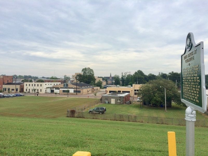
3. View from marker into Greenville from the top of the levee.
Credits. This page was last revised on September 18, 2025. It was originally submitted on August 30, 2017, by Mark Hilton of Montgomery, Alabama. This page has been viewed 768 times since then and 47 times this year. Photos: 1, 2, 3. submitted on August 30, 2017, by Mark Hilton of Montgomery, Alabama.
Editor’s want-list for this marker. Photo of the Greenville Gage off U.S. Highway 82. • Can you help?
