Near Kelso in Desha County, Arkansas — The American South (West South Central)
Old Town of Napoleon
→
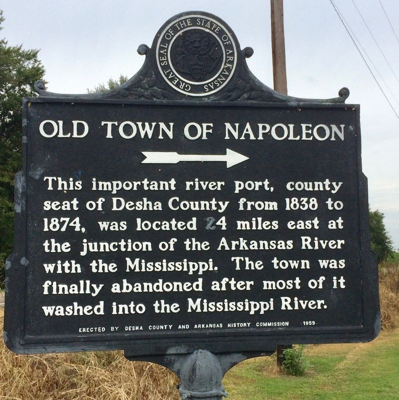
Photographed by Mark Hilton, August 26, 2017
1. Old Town of Napoleon Marker
Erected 1959 by Desha County and Arkansas History Commission.
Topics. This historical marker is listed in these topic lists: Disasters • Notable Places • Political Subdivisions • Waterways & Vessels. A significant historical year for this entry is 1838.
Location. 33° 47.709′ N, 91° 16.303′ W. Marker is near Kelso, Arkansas, in Desha County. It is on Arkansas Route 1 0.1 miles south of Route 138. Located near the Kelso-Rohwer Fire Station. Touch for map. Marker is at or near this postal address: 2652 AR-1, Watson AR 71674, United States of America. Touch for directions.

Regionally, this marker is in the Arkansas Delta, in the Mississippi Alluvial Plain, and in the Quapaw Homeland. It is also in the American South, specifically in the Deep South, in the Upper South, in the Mississippi Delta, in the Piney Woods, and in the Great River Road Region. Globally,
this page online
Other nearby markers. At least 8 other markers are within 2 miles of this marker, measured as the crow flies: Skirmish at Amos Bayou (approx. 0.9 miles away); Rohwer Japanese American Relocation Center (approx. 2 miles away); Why Us? Why Here? (approx. 2 miles away); I Am An American (approx. 2 miles away); Taken Away (approx. 2 miles away); We Lived & Died Here (approx. 2 miles away); Making A Living (approx. 2 miles away); Rohwer Internment Camp Veterans Memorial (approx. 2 miles away).
Also see . . . Wikipedia article on the ghost town of Napoleon. (Submitted on August 31, 2017, by Mark Hilton of Montgomery, Alabama.)
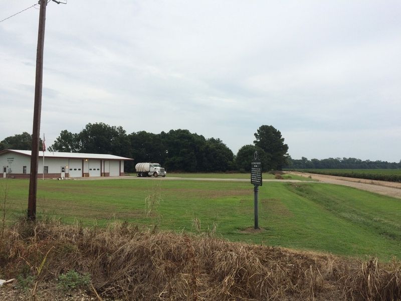
Photographed by Mark Hilton, August 26, 2017
2. Marker near Kelso-Ruhwer Fire Station.
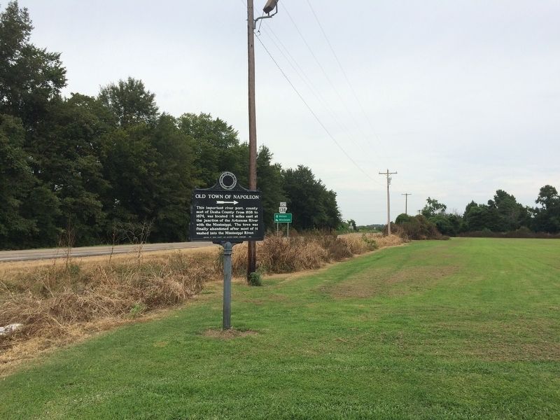
Photographed by Mark Hilton, August 26, 2017
3. View north from marker towards Arkansas Highway 1.
Credits. This page was last revised on August 31, 2017. It was originally submitted on August 31, 2017, by Mark Hilton of Montgomery, Alabama. This page has been viewed 1,251 times since then and 156 times this year. Photos: 1, 2, 3. submitted on August 31, 2017, by Mark Hilton of Montgomery, Alabama.
