Helena in Phillips County, Arkansas — The American South (West South Central)
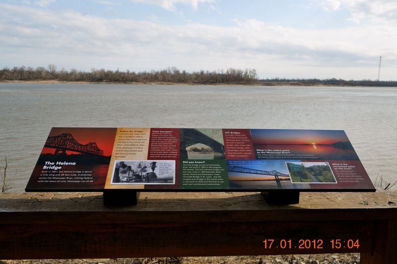
The Helena Bridge
Before the bridge
Until the early 1960s, there was no bridge in Helena- and no easy way to get from one side of the river to the other. Area residents often took advantage of a ferry that shuttled people back and forth across the Mississippi.
Train transport
Before the highway system was built and trucks became prevalent, trains and riverboats were the only way to transport goods long distances.’ Sometimes, they worked together! A train ferry-complete with train tracks on its lower deck-helped carry locomotive cars back and forth across the river.
The Pelican was the train ferry that served Helena before the bridge was built.
Did you know?
The first bridge across the Mississippi River was built 1855 in Minneapolis, Minnesota.
The first railroad bridge over the river came in 1856 between Rock Island, Illinois and Davenport, Iowa.
The Eads Bridge in St. Louis, was the longest arch bridge in the world when it was built in 1874 and the first to use steel and cantilevered construction.
221 Bridges
As of 2011, there were 221 bridges crossing the Mississippi River. Of those, ten were suspension bridges. Most others, like the Helena Bridge, were pile bridges, which means they had wood, concrete or steel foundations.
What is the widest point on the Mississippi River?
The widest point is Lake Winnibigoshish near Grand Rapids, Minnesota. Water spans more than seven miles at this location.
What is the narrowest point on the Mississippi?
The narrowest point is at the river’s source at Lake Itasca, Minnesota, where the river is between 20 and 30 feet wide.
Topics. This historical marker is listed in these topic lists: Bridges & Viaducts • Environment • Waterways & Vessels.
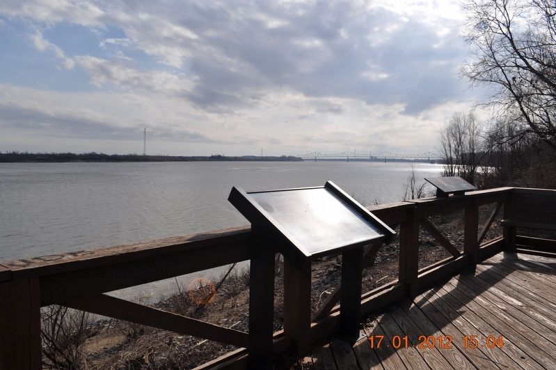
Location. 34° 31.467′ N, 90° 35.06′ W. Marker is in Helena, Arkansas, in Phillips County. Marker is on Elm Street. The marker is located along boardwalk in Helena River Park. Touch for map. Marker is in this post office area: Helena AR 72342, United States of America. Touch for directions.
Other nearby markers. At least 8 other markers are within walking distance of this marker. River Birds (here, next to this marker); Those who have come before (here, next to this marker); The river connects communities (here, next to this marker); The Mississippi River Defines Helena (here, next to this marker); Does the river ever flood? (here, next to this marker); Explore Our Top Outdoor Destinations (here, next to this marker); The Blues Trail: Mississippi to Helena (about 600 feet away, measured in a direct line); KFFA 1360 Helena (about 700 feet away). Touch for a list and map of all markers in Helena.
Also see . . . The Helena Bridge. The Helena Bridge is a cantilever bridge carrying U.S. Route 49 across the Mississippi River between Helena, Arkansas and Lula, Mississippi. The main cantilever span was modeled on the similar Benjamin G. Humphreys Bridge which had been built downstream by Arkansas and Mississippi roughly two decades earlier. (Submitted on September 1, 2017, by Sandra Hughes Tidwell of Killen, Alabama, USA.)
Credits. This page was last revised on August 30, 2023. It was originally submitted on September 1, 2017, by Sandra Hughes Tidwell of Killen, Alabama, USA. This page has been viewed 578 times since then and 72 times this year. Last updated on August 27, 2023, by Carl Gordon Moore Jr. of North East, Maryland. Photos: 1, 2. submitted on September 1, 2017, by Sandra Hughes Tidwell of Killen, Alabama, USA. • J. Makali Bruton was the editor who published this page.

