Near Buena Vista in Chaffee County, Colorado — The American Mountains (Southwest)
Getting from There to Here
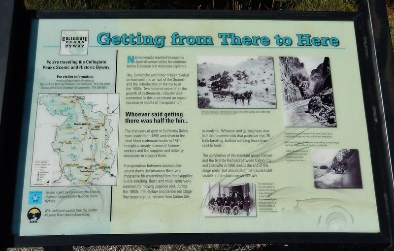
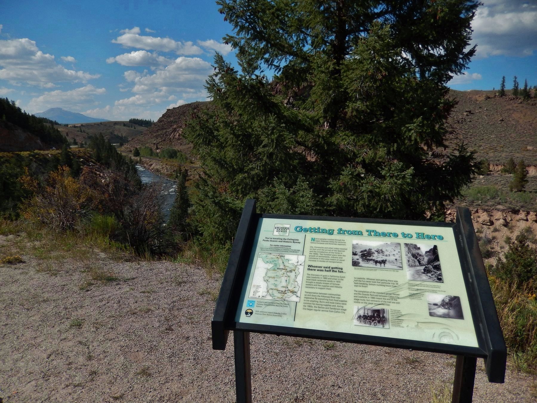
Native peoples traveled through the Upper Arkansas Valley for centuries before European and American explorers.
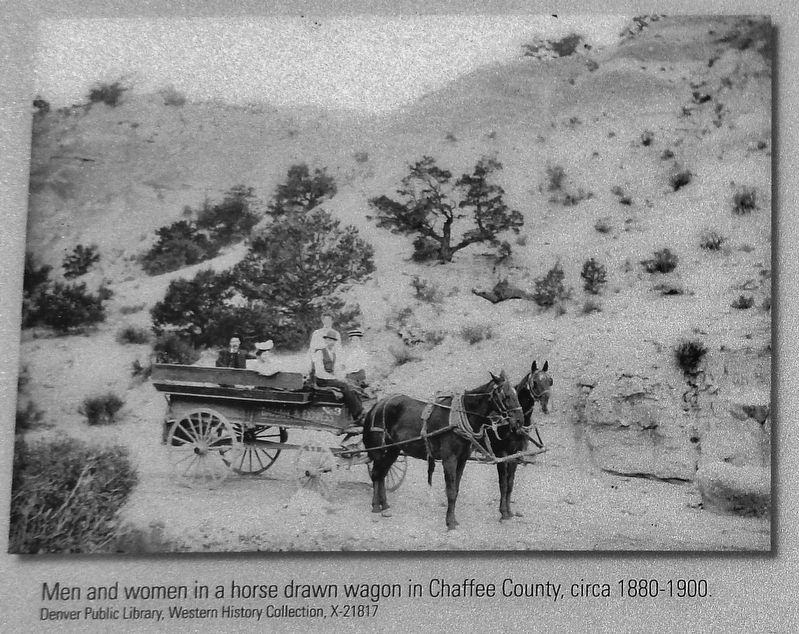
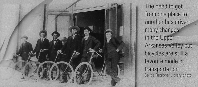
Ute, Comanche and other tribes traveled on foot until the arrival of the Spanish and the introduction of the horse in the 1600’s. Two hundred years later the growth of settlements, industry and commerce in this area meant an equal increase in modes of transportation.
Whoever said getting there was half the fun…
The discovery of gold in California Gulch near Leadville in 1860 and silver in the local black carbonate sands in 1870 brought a steady stream of fortune-seekers and the supplies of industry necessary to support them.
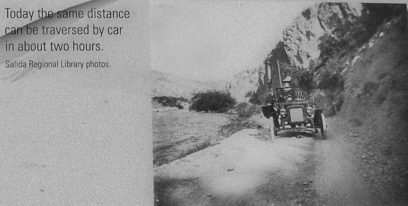
Transportation between communities up and down the Arkansas River was imperative for everything from food supplies to ore smelting. Burro and mule trains were common for moving supplies and, during the 1860’s, the Barlow and Sanderson stage line began regular service from Canon City to Leadville. Whoever said getting there was half the fun never took that particular trip: 26 backbreaking, bottom-numbing hours from start to finish!
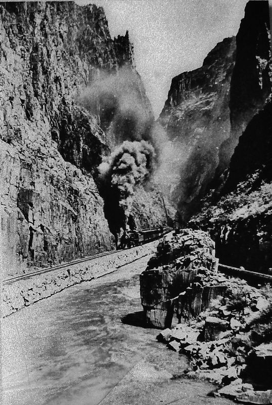
The completion of the standard gauge Denver and Rio Grande Railroad between Canon City and Leadville in 1880 meant the end of the stage route, but remnants of the trail are still visible on the slope across the river.
Erected by Federal Highway Administration, National Scenic Byways & Greater Arkansas River Nature Association.
Topics. This historical marker is listed in these topic lists: Industry & Commerce • Native Americans • Railroads & Streetcars • Settlements & Settlers.
Location. 39° 2.029′ N, 106° 15.43′ W. Marker is near Buena Vista, Colorado, in Chaffee County. Marker is on U.S. 24, one mile east of County Highway 397, on the left when traveling east. Marker is located in a pull-out area overlooking the Arkansas River, on the north side of US Highway 24. Touch for map. Marker is in this post office area: Buena Vista CO 81211, United States of America. Touch for directions.
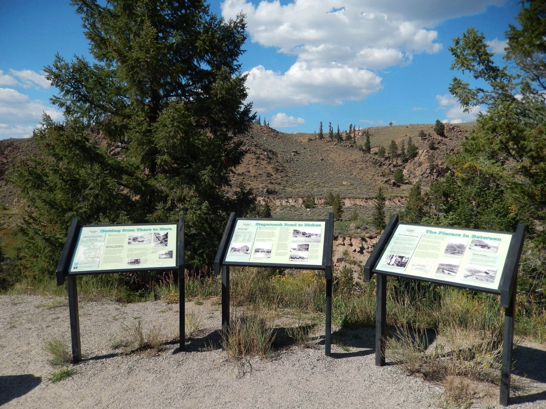
Other nearby markers. At least 2 other markers are within walking distance of this marker. Stagecoach Road to Riches (here, next to this marker); The Placers In Between (here, next to this marker).
More about this marker. Marker is associated with Colorado's Collegiate Peaks Scenic and Historic Byway. Marker is relatively new and in good condition.
Related markers. Click here for a list of markers that are related to this marker. Colorado's Collegiate Peaks Scenic and Historic Byway
Also see . . .
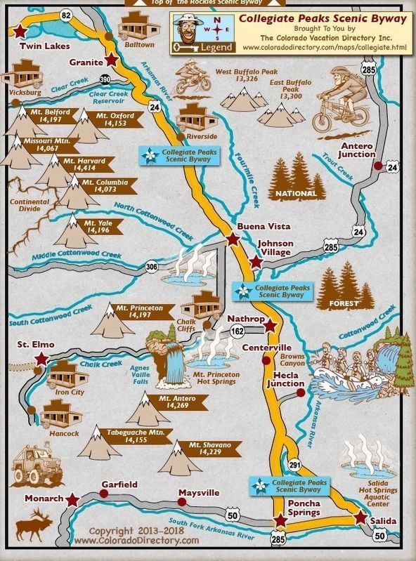
1. Collegiate Peaks Scenic Byway Map. Colorado Vacation Directory website entry:
Complete map of Colorado's Collegiate Peaks Scenic Byway (Submitted on September 1, 2017, by Cosmos Mariner of Cape Canaveral, Florida.)
2. The stage road from Cañon City to Leadville.
The stage road from Cañon City to Leadville through Salida and Buena Vista was just one of many ways people could get to Leadville during its early boom years from the 1860s through 1880s. Depending on where you started, stages came from Denver over Tennessee, Frémont, Mosquito and Weston passes to Oro City, an early Leadville-area settlement. There was also service from Aspen over Hagerman Pass, and a route up from Twin Lakes. Passengers and freight coming from Pueblo and points south came up the Arkansas through Cañon City to Salida and Buena Vista, in due course traversing that most-evident section near Granite on their way into Leadville. (Submitted on September 1, 2017, by Cosmos Mariner of Cape Canaveral, Florida.)
3. Leadville Mining Boom: Denver and Rio Grande Western Railroad. Wikipedia entry:
A mining boom near Leadville resulted in a construction race between Denver, South Park and Pacific and Denver and Rio Grande Western Railroad, with both reaching Buena Vista in early 1880. The Denver, South Park and Pacific completed construction first, but rather than both companies laying track to Leadville, Jay Gould pressured the two companies to make a deal called the "Joint Operation Agreement" of October 1,
1879. The companies agree that "...for the purpose of harmony and mutual profit...", the Denver and Rio Grande would lay tracks to the north from Buena Vista to the Leadville mining district, but that the Denver, South Park and Pacific would share equal traffic rights. Similarly, the Denver, South Park and Pacific would build into the Gunnison Country via Chalk Creek, with equal traffic rights given to the Denver and Rio Grande. (Submitted on September 1, 2017, by Cosmos Mariner of Cape Canaveral, Florida.)
Credits. This page was last revised on December 10, 2021. It was originally submitted on September 1, 2017, by Cosmos Mariner of Cape Canaveral, Florida. This page has been viewed 333 times since then and 14 times this year. Photos: 1. submitted on September 1, 2017, by Cosmos Mariner of Cape Canaveral, Florida. 2. submitted on December 10, 2021, by Larry Gertner of New York, New York. 3, 4, 5, 6, 7. submitted on September 1, 2017, by Cosmos Mariner of Cape Canaveral, Florida. 8. submitted on September 18, 2017, by Cosmos Mariner of Cape Canaveral, Florida. • Bill Pfingsten was the editor who published this page.
