Santa Rosa Jáuregui in Querétaro, Mexico — The Central Highlands (North America)
The President Juárez Walkway and Founding of Santa Rosa Jáuregui
Photographed by J. Makali Bruton, August 29, 2017
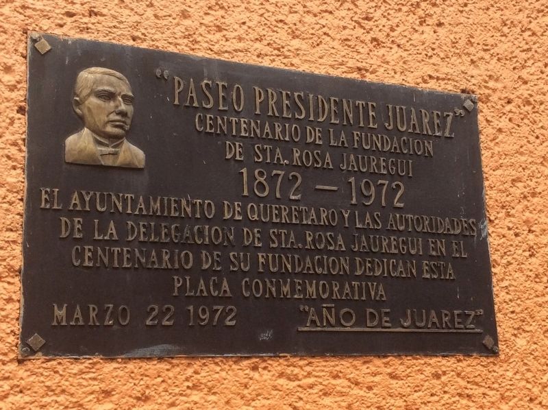
1. The President Juárez Walkway and Founding of Santa Rosa Jáuregui Marker
Centenario de la Fundacion
de Sta. Rosa Jauregui
1872-1972
El Ayuntamiento de Queretaro y las autoridades
de la Delegacion de Sta. Rosa Juaregui en el
Centenario de su fundación dedican esta
placa conmemorativa
Marzo 22 1972 “Año de Juarez”
100th anniversary of the foundation of Santa Rosa Jáuregui
1872-1972
The Municipality of Querétaro and the authorities of the Santa Rosa Jáuregui Delegation, on the 100th anniversary of its founding dedicate this commemorative marker
March 22, 1972 - “Year of Juárez”
Erected 1972 by Ayuntamiento de Querétaro.
Topics. This historical marker is listed in these topic lists: Government & Politics • Patriots & Patriotism • Wars, Non-US. A significant historical date for this entry is March 22, 1972.
Location. 20° 44.541′ N, 100° 26.88′ W. Marker is in Santa Rosa Jáuregui, Querétaro. It is at the intersection of Paseo Juárez and Calle 5 de Mayo, on the left when traveling north on Paseo Juárez. Touch for map. Marker is in this post office area: Santa Rosa Jáuregui QUE 76220, Mexico.
this page online

Regionally, this marker is in Central Mexico and in the Bajío. Globally, it is in North America, specifically in Mesoamerica, on the Ring of Fire, and in the Western Hemisphere. Historically, it finds itself in what was once New Spain, a Spanish colony, and the Aztec Empire.
Other nearby markers. At least 8 other markers are within walking distance of this marker: The History of Santa Rosa Jáuregui (within shouting distance of this marker); Timoteo Fernández de Jáuregui (within shouting distance of this marker); Miguel Hidalgo y Costilla (about 90 meters away, measured in a direct line); House of the Corregidora (approx. 1.1 kilometers away); Aqueduct of Querétaro (approx. 1.1 kilometers away); The Mission at Jalpan (approx. 1.1 kilometers away); Temple of the Santa Cruz (approx. 1.1 kilometers away); The Mission at Tilaco (approx. 1.1 kilometers away). Touch for a list and map of all markers in Santa Rosa Jáuregui.
Photographed by J. Makali Bruton, August 29, 2017
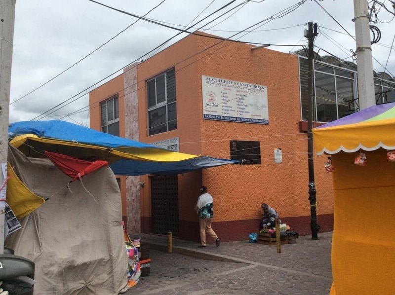
2. The President Juárez Walkway and Founding of Santa Rosa Jáuregui Marker
The marker can be seen on the right corner of the building in this view. The 'walkway' is the pedestrian-only alleyway towards the right.
Photographed by J. Makali Bruton, August 29, 2017
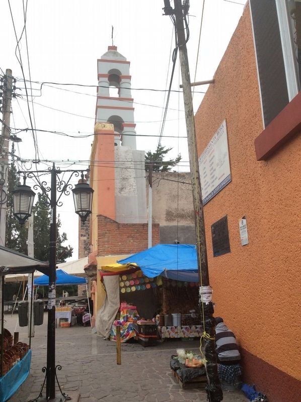
3. The President Juárez Walkway and Founding of Santa Rosa Jáuregui Marker
In this view from the walkway the marker is towards the right. In the distance is the small chapel next to the Santa Rosa Jáuregui Catholic Church.
Credits. This page was last revised on September 2, 2017. It was originally submitted on September 2, 2017, by J. Makali Bruton of Washington, District of Columbia. This page has been viewed 412 times since then and 47 times this year. Photos: 1, 2, 3. submitted on September 2, 2017, by J. Makali Bruton of Washington, District of Columbia.
