Helena in Phillips County, Arkansas — The American South (West South Central)
The Confederates Attack Fort Curtis
A Strong Position
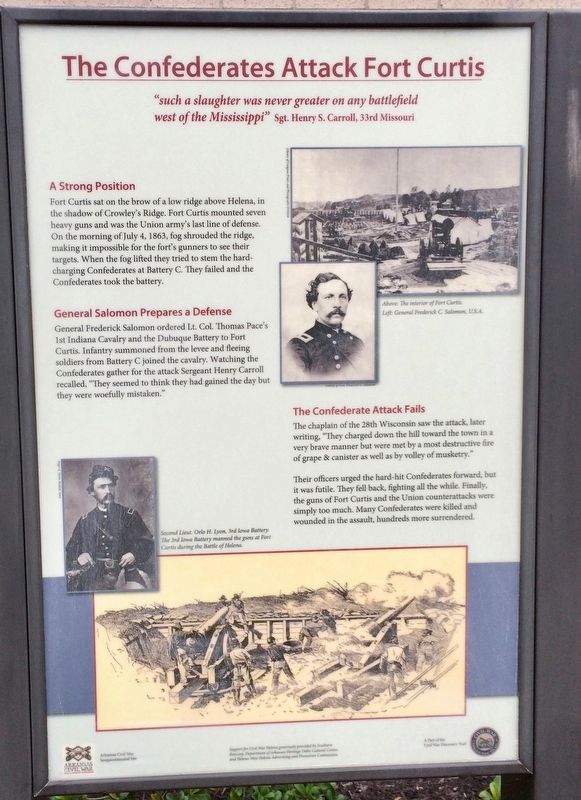
Fort Curtis sat on the brow of a low ridge above Helena, in the shadow of Crowley's Ridge. Fort Curtis mounted seven heavy guns and was the Union army's last line of defense. On the morning of July 4, 1863, fog shrouded the ridge, making it impossible for the fort's gunners to see their targets. When the fog lifted they tried to stem the hard- charging Confederates at Battery C. They failed and the Confederates took the battery.
General Salomon Prepares a Defense
General Frederick Salomon ordered Lt. Col. Thomas Pace's 1st Indiana Cavalry and the Dubuque Battery to Fort Curtis. Infantry summoned from the levee and fleeing soldiers from Battery C joined the cavalry. Watching the Confederates gather for the attack Sergeant Henry Carroll recalled, "They seemed to think they had gained the day but they were woefully mistaken.
The Confederate Attack Fails
The chaplain of the 28th Wisconsin saw the attack, later writing, "They charged down the hill toward the town in a very brave manner but were met by a most destructive fire of grape & canister as well as by volley of musketry." Their officers urged the hard-hit Confederates forward, but it was futile. They fell back, fighting all the while. Finally the guns of Fort Curtis and the Union counterattacks were simply too much. Many Confederates were killed and wounded in the assault, hundreds more surrendered.
[Photo captions]
Top right: Above: The interior of Fort Curtis. Left: General Frederick C. Salomon, U.S.A.
Bottom left: Second Lieut. Orlo H. Lyon, 3rd Iowa Battery. The 3rd Iowa Battery manned the guns at Fort Curtis during the Battle of Helena.
Erected 2013 by Arkansas Civil War Sesquicentennial Commission.
Topics. This historical marker is listed in these topic lists: Forts and Castles • War, US Civil. A significant historical date for this entry is July 4, 1863.
Location. 34° 31.727′ N, 90° 35.479′ W. Marker is in Helena, Arkansas, in Phillips County. Marker is on Columbia Street south of Perry Street (Business U.S. 49), on the right when traveling south. Located on the east side of the Phillips County Library. Touch for map. Marker is at or near this postal address: 702 Porter Street, Helena AR 72342, United States of America. Touch for directions.
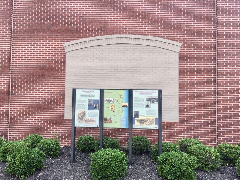
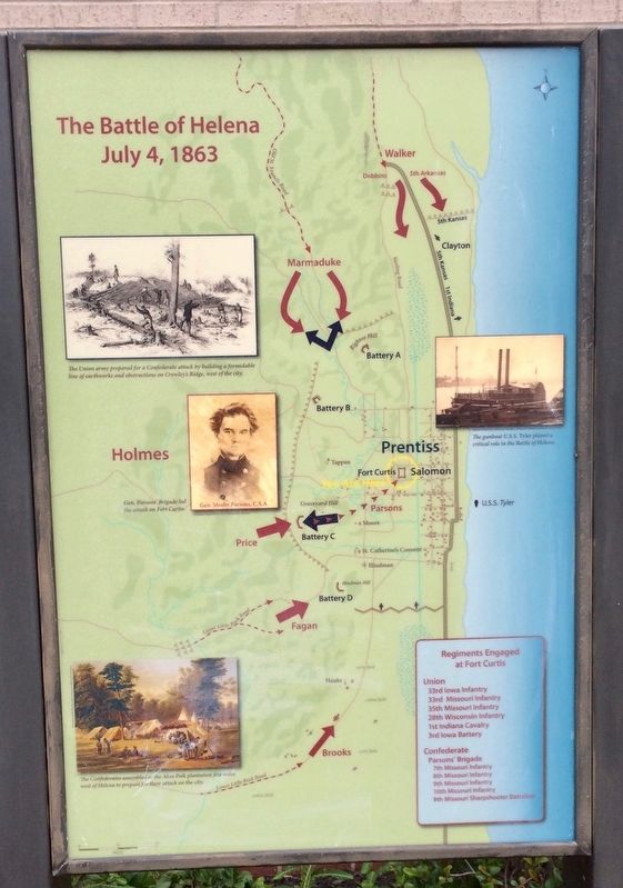
Other nearby markers. At least 8 other markers are within walking distance of this marker. The Battle of Helena (here, next to this marker); Russwurm Memorial (within shouting distance of this marker); Fort Curtis
(within shouting distance of this marker); William Patterson (about 300 feet away, measured in a direct line); Phillips County's Confederate Soldiers (approx. 0.2 miles away); General Patrick Cleburne (approx. 0.2 miles away); Patrick Cleburne in Helena (approx. 0.2 miles away); The Irish Immigrant (approx. 0.2 miles away). Touch for a list and map of all markers in Helena.
More about this marker. An Arkansas Civil War Sesquicentennial site and a part of the Arkansas Civil War Discovery Trail.
Also see . . . Wikipedia article on the Battle of Helena. (Submitted on September 4, 2017, by Mark Hilton of Montgomery, Alabama.)
Credits. This page was last revised on September 4, 2017. It was originally submitted on September 4, 2017, by Mark Hilton of Montgomery, Alabama. This page has been viewed 238 times since then and 12 times this year. Photos: 1, 2, 3, 4. submitted on September 4, 2017, by Mark Hilton of Montgomery, Alabama.


