Downtown in Knoxville in Knox County, Tennessee — The American South (East South Central)
Civil War Hospital
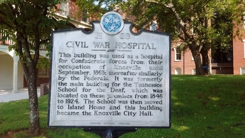
Photographed by Tom Bosse, September 4, 2017
1. Civil War Hospital Marker
Erected by Tennessee Historical Commission. (Marker Number 1E 88.)
Topics and series. This historical marker is listed in these topic lists: Education • War, US Civil. In addition, it is included in the Tennessee Historical Commission series list. A significant historical month for this entry is September 1863.
Location. 35° 57.914′ N, 83° 55.366′ W. Marker is in Knoxville, Tennessee, in Knox County. It is in Downtown. It is at the intersection of West Summit Hill Drive Southwest and Locust Street, on the left when traveling east on West Summit Hill Drive Southwest. Touch for map. Marker is at or near this postal address: 601 W Summit Hill Dr SW, Knoxville TN 37902, United States of America. Touch for directions.

Regionally, this marker is in East Tennessee.
this page online
Other nearby markers. At least 8 other markers are within walking distance of this marker: Ted Burnett (within shouting distance of this marker); a different marker also named Ted Burnett (about 600 feet away, measured in a direct line); Catherine Wiley (about 700 feet away); Father Abram J. Ryan (about 700 feet away); Grand Lodge of Tennessee (about 700 feet away); Battery Wiltsie (about 800 feet away); The 1982 World's Fair Walking Tour (approx. 0.2 miles away); Memorial to Vietnam Veterans of East Tennessee (approx. 0.2 miles away). Touch for a list and map of all markers in Knoxville.
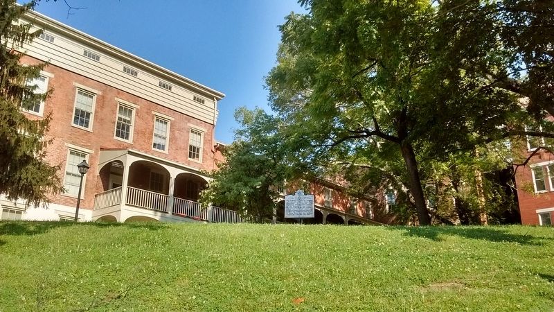
Photographed by Tom Bosse, September 4, 2017
2. Civil War Hospital Marker
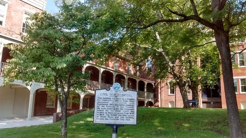
Photographed by Tom Bosse, September 4, 2017
3. Civil War Hospital Marker
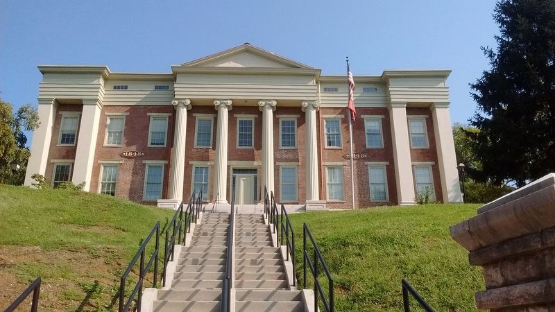
Photographed by Tom Bosse, September 4, 2017
4. Civil War Hospital
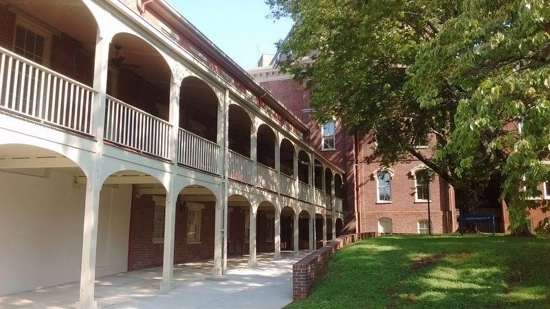
Photographed by Tom Bosse, September 4, 2017
5. Civil War Hospital
Credits. This page was last revised on May 1, 2023. It was originally submitted on September 4, 2017, by Tom Bosse of Jefferson City, Tennessee. This page has been viewed 1,820 times since then and 96 times this year. Photos: 1, 2, 3, 4, 5. submitted on September 4, 2017, by Tom Bosse of Jefferson City, Tennessee. • Bernard Fisher was the editor who published this page.
