Jefferson City in Jefferson County, Tennessee — The American South (East South Central)
Site of Original Land Grant by John Roper Branner
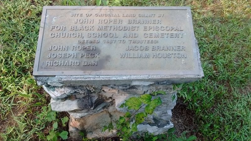
Photographed by Tom Bosse, September 4, 2017
1. Site of Original Land Grant by John Roper Branner Marker
John Roper • Jacob Branner • Joseph Peck • William Houston • Richard Dan
Topics. This historical marker is listed in these topic lists: African Americans • Cemeteries & Burial Sites • Education • Religion & Religious Structures. A significant historical year for this entry is 1867.
Location. 36° 7.066′ N, 83° 28.668′ W. Marker is in Jefferson City, Tennessee, in Jefferson County. It is on Hicks Road, on the right when traveling north. Touch for map. Marker is in this post office area: Jefferson City TN 37760, United States of America. Touch for directions.

Regionally, this marker is in East Tennessee. It is also in the American South, specifically in the Upper South, in Appalachia, and specifically in Southern Appalachia. Globally, it is in North America, the Western Hemisphere, the Western World, and the Anglosphere. Historically, it finds itself in what was once the original Cherokee Nation, the territory of the Mississippian Culture, one of the Confederate States of America, the State of Franklin,
this page online
Other nearby markers. At least 8 other markers are within walking distance of this marker: Sarah Swann Hall (approx. 0.9 miles away); Mossy Creek Engagement (approx. one mile away); Battle of Mossy Creek (approx. one mile away); Mossy Creek Bank (approx. one mile away); Interior Mossy Creek Bank (approx. one mile away); Mossy Creek / Jefferson City Train Depot (approx. one mile away); Main Street (approx. one mile away); First National Bank (approx. one mile away). Touch for a list and map of all markers in Jefferson City.
Another marker is no longer nearby. Carson - Newman College (was approx. 0.9 miles away but has been confirmed missing).
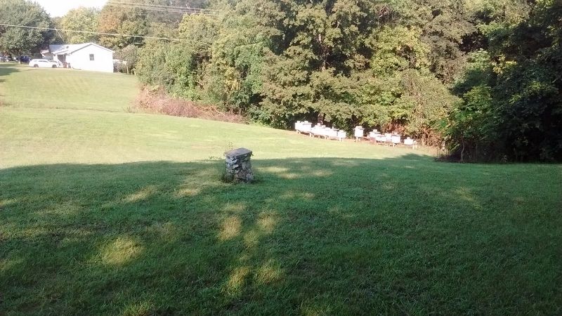
Photographed by Tom Bosse, September 4, 2017
2. Site of Original Land Grant by John Roper Branner Marker
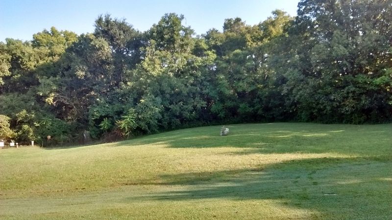
Photographed by Tom Bosse, September 4, 2017
3. Site of Slave Cemetery
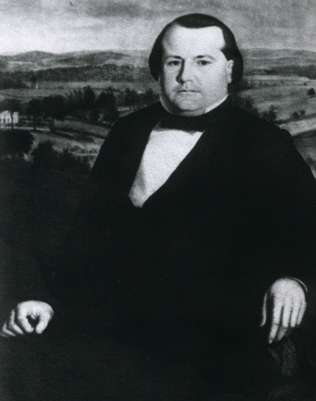
Photographed by Tom Bosse
4. John Roper Branner
Credits. This page was last revised on September 7, 2017. It was originally submitted on September 4, 2017, by Tom Bosse of Jefferson City, Tennessee. This page has been viewed 663 times since then and 38 times this year. Photos: 1, 2, 3, 4. submitted on September 4, 2017, by Tom Bosse of Jefferson City, Tennessee. • Bill Pfingsten was the editor who published this page.
