Reliance in Polk County, Tennessee — The American South (East South Central)
The Halfway House
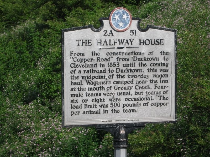
Photographed by Tom Bosse, May 29, 2010
1. The Halfway House Marker
Erected by Tennessee Historical Commission. (Marker Number 2A 51.)
Topics and series. This historical marker is listed in these topic lists: Industry & Commerce • Roads & Vehicles. In addition, it is included in the Tennessee Historical Commission series list. A significant historical year for this entry is 1853.
Location. 35° 6.704′ N, 84° 34.3′ W. Marker is in Reliance, Tennessee, in Polk County. It is on U.S. 64, on the right when traveling west. Touch for map. Marker is in this post office area: Reliance TN 37369, United States of America. Touch for directions.

Regionally, this marker is in East Tennessee. It is also in the American South, specifically in the Upper South, in Appalachia, and specifically in Southern Appalachia. Globally, it is
this page online
Other nearby markers. At least 8 other markers are within 7 miles of this marker, measured as the crow flies: Ocoee Dam #1 (approx. 4.6 miles away); Ocoee No. 1 (approx. 4.6 miles away); a different marker also named Ocoee No. 1 (approx. 4.6 miles away); Polk County Confederate Monument (approx. 6.3 miles away); Polk County World Wars Memorial (approx. 6.3 miles away); Polk County Veterans Monument (approx. 6.3 miles away); Civil War in Polk County (approx. 6.3 miles away); The Heyday for Fire Towers (approx. 6.9 miles away).
Another marker is no longer nearby. Confederate Campsite Interpretive Site (was approx. 3.6 miles away but has been confirmed missing).
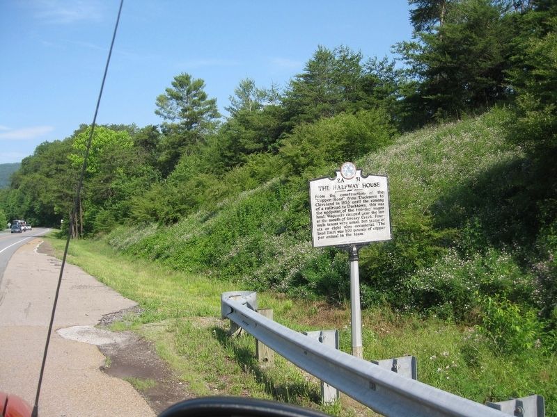
Photographed by Tom Bosse, May 29, 2010
2. The Halfway House Marker
Credits. This page was last revised on September 7, 2017. It was originally submitted on September 4, 2017, by Tom Bosse of Jefferson City, Tennessee. This page has been viewed 2,158 times since then and 189 times this year. Photos: 1, 2. submitted on September 4, 2017, by Tom Bosse of Jefferson City, Tennessee. • Bill Pfingsten was the editor who published this page.
