Helena in Phillips County, Arkansas — The American South (West South Central)
Fort Curtis, 1862-1867
The Battle of Helena
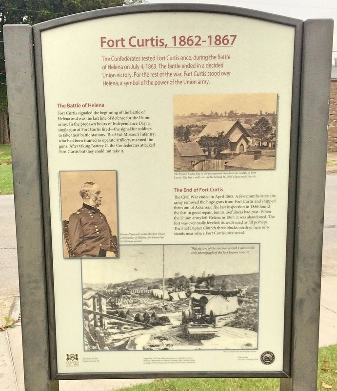
Fort Curtis signaled the beginning of the Battle of Helena and was the last line of defense for the Union army. In the predawn hours of Independence Day, a single gun at Fort Curtis fired-the signal for soldiers to take their battle stations. The 33rd Missouri Infantry who had been trained to operate artillery, manned the guns. After taking Battery C, the Confederates attacked Fort Curtis but they could not take it.
The End of Fort Curtis
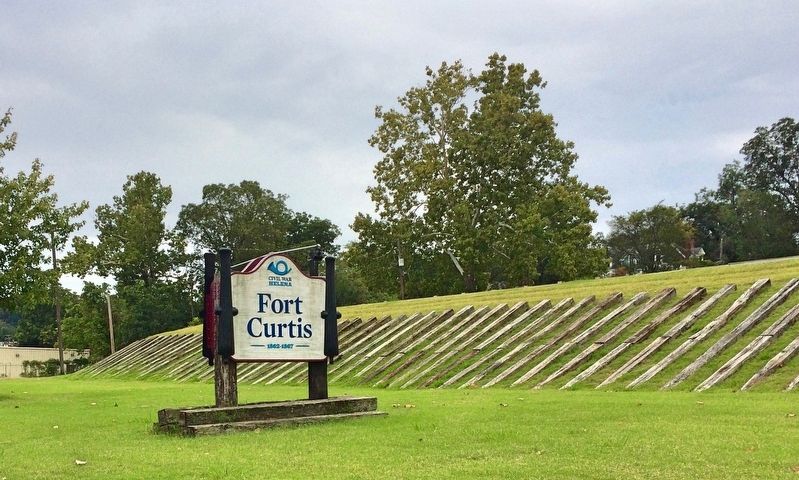
The Civil War ended in April 1865. A few months later, the army removed the huge guns from Fort Curtis and shipped them out of Arkansas. The last inspection in 1866 found the fort in good repair, but its usefulness had past. When the Union army left Helena in 1867, it was abandoned. The fort was eventually leveled; its walls used as fill perhaps. The First Baptist Church three blocks north of here now stands near where Fort Curtis once stood.
[Photo captions]
Top right: The United States flag in the background stands in the middle of Fort Curtis. The fort's walls are visible behind St. John's Episcopal Church.
Middle left: General Samuel Curtis, the first Union commander of Helena, for whom Fort Curtis was named.
Right bottom: This picture of the interior of Fort Curtis is the only photograph of the fort known to exist.
Erected 2013 by Arkansas Civil War Sesquicentennial Commission.
Topics. This historical marker is listed in these topic lists: Forts and Castles • War, US Civil. A significant historical month for this entry is April 1865.
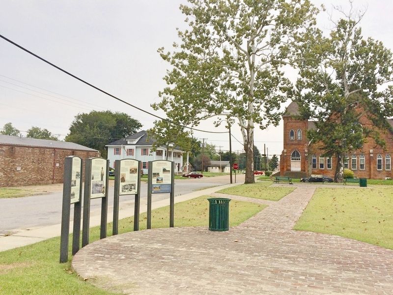
Location. 34° 31.55′ N, 90° 35.507′ W. Marker is in Helena, Arkansas, in Phillips County. Marker is on York Street east of Beech Street, on the right when traveling east. Located near entrance to Fort Curtis. Touch for map. Marker is at or near this postal address: 701 York Street, Helena AR 72342, United States of America. Touch for directions.
Other nearby markers. At least 8 other markers are within walking distance of this marker. The New Fort Curtis (here, next to this marker); Who Built Fort Curtis (here, next to this marker); Defending Helena (here, next to this marker); U.S.C.T. in Helena (within shouting distance of this marker); Flags over Fort Curtis (within shouting distance of this marker); Life Under Union Occupation (within shouting distance of this marker); The Guns (within shouting distance of this marker); The Battle of Helena (approx. 0.2 miles away). Touch for a list and map of all markers in Helena.
More about this marker. An Arkansas Civil War Sesquicentennial site and a part of the Arkansas Civil War Discovery Trail.
Credits. This page was last revised on November 29, 2020. It was originally submitted on September 6, 2017, by Mark Hilton of Montgomery, Alabama. This page has been viewed 252 times since then and 16 times this year. Photos: 1, 2, 3, 4. submitted on September 6, 2017, by Mark Hilton of Montgomery, Alabama. 5, 6. submitted on October 21, 2017, by Mark Hilton of Montgomery, Alabama.
