Baker City in Baker County, Oregon — The American West (Northwest)
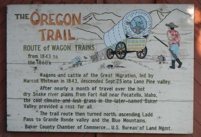
The Oregon Trail
Route of Wagon Trains
| — | from 1843 to the 1860's | — |
Photographed by Barry Swackhamer, June 29, 2017
1. The Oregon Trail Marker
Erected by Baker County Chamber of Commerce, Bureau of Land Management.
Topics and series. This historical marker is listed in these topic lists: Roads & Vehicles • Settlements & Settlers. In addition, it is included in the Oregon Trail series list. A significant historical date for this entry is September 25, 1843.
Location. 44° 46.951′ N, 117° 48.747′ W. Marker is in Baker City, Oregon, in Baker County. It can be reached from Campbell Street near Sunridge Lane, on the right when traveling west. Touch for map. Marker is at or near this postal address: 490 Campbell Street, Baker City OR 97814, United States of America. Touch for directions.

Regionally, this marker is in Eastern Oregon. It is also in the American Mountain
this page online
Other nearby markers. At least 8 other markers are within walking distance of this marker: Baker (a few steps from this marker); Baker City Chinese History (approx. ¼ mile away); Chinese Shrine (approx. ¼ mile away); McCord House and Shop (approx. 0.9 miles away); Gwilliam Brothers Bakery (approx. 0.9 miles away); The Masonic Temple (approx. 0.9 miles away); Bishop Building (approx. 0.9 miles away); Basche-Sage Hardware Co. Building (approx. 0.9 miles away). Touch for a list and map of all markers in Baker City.
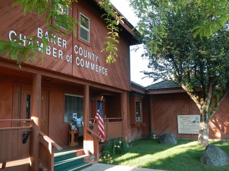
More about this marker. The marker is located on the Baker County Chamber of Commerce building.
Photographed by Barry Swackhamer, June 29, 2017
2. The Oregon Trail Marker
The marker is on the right.
Credits. This page was last revised on September 11, 2017. It was originally submitted on September 10, 2017, by Barry Swackhamer of Brentwood, California. This page has been viewed 733 times since then and 42 times this year. Photos: 1, 2. submitted on September 10, 2017, by Barry Swackhamer of Brentwood, California.
