
Kingsport in Sullivan County, Tennessee — The American South (East South Central)
Avery Treaty
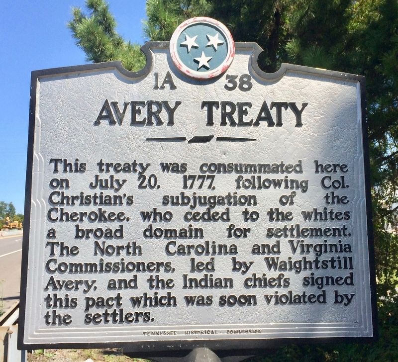
Photographed by Mark Hilton, September 10, 2017
1. Avery Treaty Marker
Erected by Tennessee Historical Commission. (Marker Number 1A 38.)
Topics and series. This historical marker is listed in these topic lists: Indigenous Peoples and Communities • Settlements & Settlers. In addition, it is included in the Tennessee Historical Commission series list. A significant historical date for this entry is July 20, 1777.
Location. 36° 31.652′ N, 82° 33.396′ W. Marker is in Kingsport, Tennessee, in Sullivan County. It is on South Wilcox Drive (Tennessee Route 126) north of Jared Drive, on the right when traveling north. Located across Wilcox Drive from the Eastman Chemical wastewater treatment facility along the guardrail of the breakdown lane. Touch for map. Marker is at or near this postal address: South Wilcox Drive, Kingsport TN 37660, United States of America. Touch for directions.

Regionally,
this page online
Other nearby markers. At least 8 other markers are within 2 miles of this marker, measured as the crow flies: Donelson Flotilla (within shouting distance of this marker); Douglass High School (approx. 0.6 miles away); Train Depot (approx. 1.2 miles away); Doyle Lawson (approx. 1.3 miles away); Bank Of Kingsport (approx. 1.3 miles away); Kingsport Drug (approx. 1.3 miles away); The Gem Theatre (approx. 1.3 miles away); Western Union Building (approx. 1.3 miles away). Touch for a list and map of all markers in Kingsport.
Also see . . . The articles of the Avery Treaty. (Submitted on September 10, 2017, by Mark Hilton of Montgomery, Alabama.)
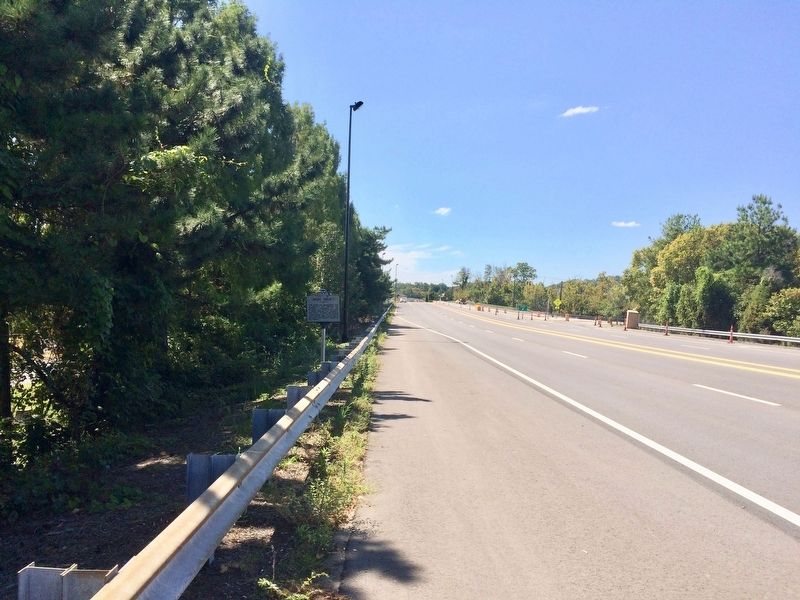
Photographed by Mark Hilton, September 10, 2017
2. The view west on South Wilcox Drive across from Eastman Chemical.
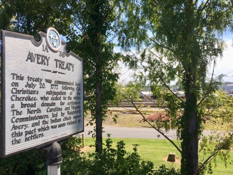
Photographed by Mark Hilton, September 10, 2017
3. A view of the portion of Eastman Chemicals' rail yards.
Credits. This page was last revised on August 27, 2020. It was originally submitted on September 10, 2017, by Mark Hilton of Montgomery, Alabama. This page has been viewed 1,661 times since then and 175 times this year. Photos: 1, 2, 3. submitted on September 10, 2017, by Mark Hilton of Montgomery, Alabama.
