
Kingsport in Sullivan County, Tennessee — The American South (East South Central)
Battle of Kingsport
Photographed by Mark Hilton, September 10, 2017
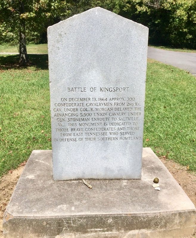
1. Battle of Kingsport Monument
On December 13, 1864 approx. 300 Confederate cavalrymen from 2nd Ky. Cav. under Col. R. Morgan delayed the advancing 5,500 Union cavalry under Gen. Stoneman enroute to Saltville, Va.. This monument is dedicated to those brave Confederates and those from East Tennessee who served in defense of their Southern homeland.
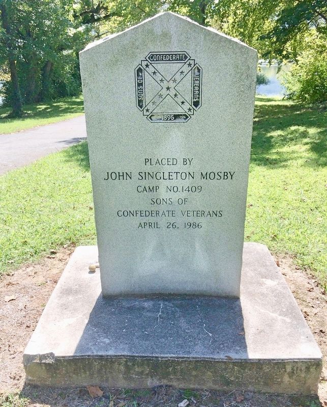
Erected 1986 by John Singleton Mosby Camp No. 1409 Sons of Confederate Veterans.
Topics and series. This historical marker is listed in this topic list: War, US Civil. In addition, it is included in the Sons of Confederate Veterans/United Confederate Veterans series list. A significant historical date for this entry is December 13, 1864.
Location. 36° 32.934′ N, 82° 36.732′ W. Marker is in Kingsport, Tennessee, in Sullivan County. It can be reached from the intersection of Netherland Inn Road and Riverwoods Place, on the left when traveling west. Located at the Kingsport Greenbelt park at the confluence of the North & South Forks of the Holston River. Touch for map. Marker is in this post office area: Kingsport TN 37660, United States of America. Touch for directions.

Regionally, this marker is in East Tennessee and
this page online
Other nearby markers. At least 8 other markers are within walking distance of this marker: A different marker also named Battle of Kingsport (within shouting distance of this marker); The Great Indian Warpath (approx. 0.3 miles away); Colonel Gilbert Christian (approx. one mile away); Flatboat (approx. one mile away); The Boat Yard (approx. one mile away); Netherland Inn / King's Boat Yard (approx. one mile away); The Old Schoolhouse (approx. one mile away); Daniel Boone Wilderness Trail (approx. one mile away). Touch for a list and map of all markers in Kingsport.
Regarding Battle of Kingsport. Colonel R.(Richard) Morgan is the brother of General John Hunt Morgan.
General
Photographed by Mark Hilton, September 10, 2017
2. Battle of Kingsport Monument (reverse side)
The North Fork of the Holston River is in the background.
Photographed by Mark Hilton, September 10, 2017
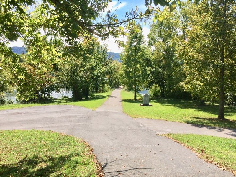
3. View of monument south towards the Holston Rivers.
Photographed by Mark Hilton, September 10, 2017
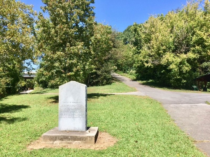
4. View of monument looking north, uphill towards parking lot, along Netherland Inn Road.
Walking trails here are along the North & South Forks of the Holston River.
Credits. This page was last revised on February 1, 2026. It was originally submitted on September 11, 2017, by Mark Hilton of Montgomery, Alabama. This page has been viewed 1,761 times since then and 181 times this year. Photos: 1, 2, 3, 4. submitted on September 11, 2017, by Mark Hilton of Montgomery, Alabama.
