Kingsport in Sullivan County, Tennessee — The American South (East South Central)
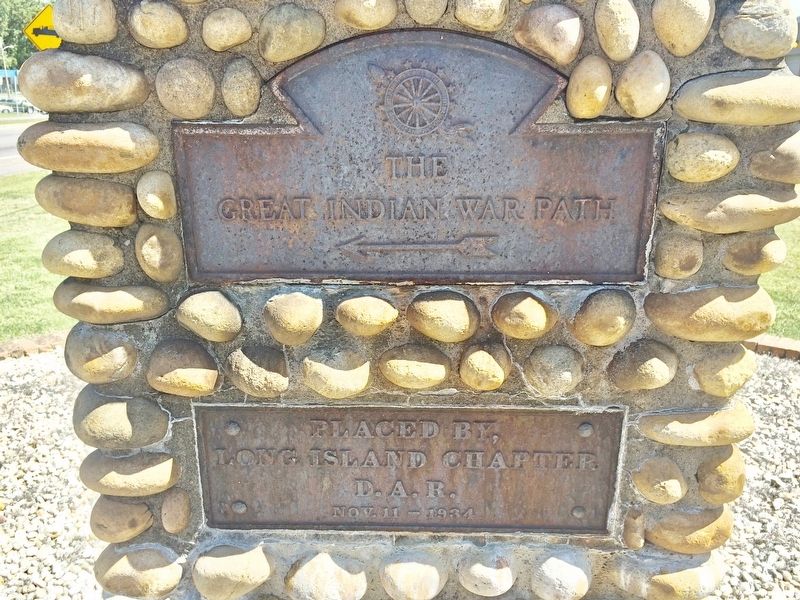
The Great Indian War Path
←
Erected 1934 by Long Island Chapter D.A.R.
Topics and series. This historical marker is listed in these topic lists: Native Americans • Wars, US Indian. In addition, it is included in the Daughters of the American Revolution series list.
Location. 36° 33.324′ N, 82° 35.569′ W. Marker is in Kingsport, Tennessee, in Sullivan County. Marker is on West Stone Drive (U.S. 11W) east of Mary Street, on the right when traveling east. Located near Kingsport Fire Station 4. Touch for map. Marker is at or near this postal address: 2105 West Stone Drive, Kingsport TN 37660, United States of America. Touch for directions.
Other nearby markers. At least 8 other markers are within walking distance of this marker. Old Kingsport Presbyterian Church (approx. 0.2 miles away); The Old Schoolhouse (approx. 0.3 miles away); Bank Barn (approx. 0.3 miles away); Netherland Inn / King's Boat Yard (approx. 0.3 miles away); Netherland Inn (approx. 0.3 miles away); The Boat Yard (approx. 0.3 miles away); Colonel Gilbert Christian (approx. 0.3 miles away); Flatboat "Adventure" December 22, 1779 (approx. 0.3 miles away). Touch for a list and map of all markers in Kingsport.
Regarding The Great Indian War Path. Another, similar, monument is located near 1109 West Sullivan Street in Kingsport.
Also see . . . Wikipedia article on the Great Indian Warpath. (Submitted on September 11, 2017, by Mark Hilton of Montgomery, Alabama.)
Credits. This page was last revised on March 29, 2021. It was originally submitted on September 11, 2017, by Mark Hilton of Montgomery, Alabama. This page has been viewed 784 times since then and 41 times this year. Photos: 1, 2, 3. submitted on September 11, 2017, by Mark Hilton of Montgomery, Alabama.


