Long Bottom in Meigs County, Ohio — The American Midwest (Great Lakes)
Long Bottom
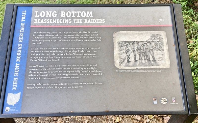
Reassembling the Raiders
— John Hunt Morgan Heritage Trail —
Morgan's command was stretched out over Meigs County, some lost or captured. His brother, Colonel Richard Morgan, had led a large detachment away from Buffington Island only to be captured at Bashan. Within a day, other groups attempting to escape from Ohio were captured near Pomeroy, Syracuse, Racine, Chester, Millwood, and Belleville.
General Morgan stopped at this site to rest and allow his scattered command to regroup. Having lost many officers and men at the Buffington Island fight Morgan reorganized his division into two brigades, led by Colonel Adam Johnson and Major Thomas B. Webber. Soon the approximately 1,100 men were assembled into new order, and preparations were made to move out.
Heading to the next river crossing at Reedsville, about six miles upriver to the north organ hoped to stay ahead of his pursuers and the gunboats.
[Photo caption]: With more than half his original body of Confederate troops gone and numerous officers captured, Brigadier General John Hunt Morgan was forced to reorganize and name new commanders for the two wings of his forces.
Text: Edd Sharp & David L. Mowery
Illustration: Bev Kirk
Erected 2013 by the Ohio Department of Transportation, the Ohio History Connection, and the Ohio Civil War Trail Commission. (Marker Number 29.)
Topics and series. This historical marker is listed in this topic list: War, US Civil. In addition, it is included in the John Hunt Morgan Heritage Trail in Ohio series list. A significant historical date for this entry is July 19, 1863.
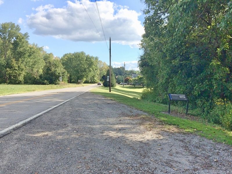
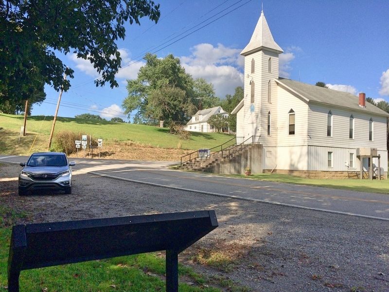
Location. 39° 5.146′ N, 81° 48.245′ W. Marker is in Long Bottom, Ohio, in Meigs County. Marker is on Ohio River Scenic Byway (Ohio Route 124) south of Ohio Route 248, on the right when traveling south. Touch for map. Marker is at or near this postal address: 61700 OH-124, Long Bottom OH 45743, United States of America. Touch for directions.
Other nearby markers. At least 8 other markers are within 5 miles of this marker, measured as the crow flies. George Washington (approx. 1˝ miles away); Coleman Chapel (approx. 3.3 miles away in West Virginia); Reedsville (approx. 4.3 miles away); Tupper Plains (approx. 4.3 miles away); Bashan (approx. 4.4 miles away); Morgan’s Raid Route (approx. 4.4 miles away); North End Valley
(approx. 4.7 miles away); Belleville (approx. 4.8 miles away in West Virginia). Touch for a list and map of all markers in Long Bottom.
Credits. This page was last revised on September 14, 2017. It was originally submitted on September 14, 2017, by Mark Hilton of Montgomery, Alabama. This page has been viewed 594 times since then and 36 times this year. Photos: 1, 2, 3. submitted on September 14, 2017, by Mark Hilton of Montgomery, Alabama.


