Pocatello in Bannock County, Idaho — The American West (Mountains)
Native Foods
Chief Pocatello Monument
Photographed by Barry Swackhamer, June 22, 2017
1. Native Foods Marker
Inscription.
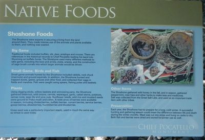
Shoshone Foods
The Shoshone were experts in securing a living from the land around them. They made intense use of the animals and plants available to them, and nothing was wasted.
Big Game
Traditional foods including buffalo, elk, deer, antelope, and moose. There are referenced in the historical records to Chief Pocatello leading his band into Wyoming on buffalo hunts. The Shoshone used many different methods to take game, including bow and arrow, clubs, snares and the construction of sage brush corrals into which larger animals would be driven.
Small Game, Birds and Fish
Small game animals hunted by the Shoshone included rabbits, rock chuck (marmots) and ground squirrels. In addition, the Shoshone hunted and trapped ducks, geese, grouse and other fowl, and collected their eggs in fields and marshes. Fish were caught using spears, fishing poles and baskets.
Plants
Using digging sticks, willow baskets and winnowing pans, the Shoshone gathered bitterroot, wild onions, carrots, asparagus, garlic, cattail stems, potatoes, camas roots, sego lily and pine nuts. Sunflower seeds, wild rice
Click or scan to see this page online
and mustard seeds were ground to make mush and cakes. A wide array of berries were available in season, including chokecherries, buffalo berries, currant berries, service berries, goose berries, strawberries, huckleberries and blueberries.
Grass seed was a particularly important staple, used in much the same way as wheat is used today.
Other Items
The Shoshone gathered wild honey in the fall, and in season, gathered peppermint, rose hips and herbs to make teas and medicines. Salt was collected from the Great Salt Lake, and used as an important trade item with other tribes.
Preservation
Each year, the Shoshone had to prepare for a long, cold winter. A successful hunting and gathering season could mean the difference between life and death during the winter months. Meat was cut into strips and hung on racks to dry. Both fish and berries were dried and stored for winter use as well.
Location. 42° 50.782′ N, 112° 25.238′ W. Marker is in
Photographed by Barry Swackhamer, June 22, 2017
2. Native Foods Marker
Pocatello, Idaho, in Bannock County. It is at the intersection of South 5th Avenue and South 4th Avenue (U.S. 30), on the left when traveling north on South 5th Avenue. Touch for map. Marker is at or near this postal address: 2695 South 5th Avenue, Pocatello ID 83204, United States of America. Touch for directions.
Regionally, this marker is in Idaho’s Bear River Country. It is also in the American Mountain West. Globally, it is in North America, the Western Hemisphere, the Western World, and the Anglosphere.
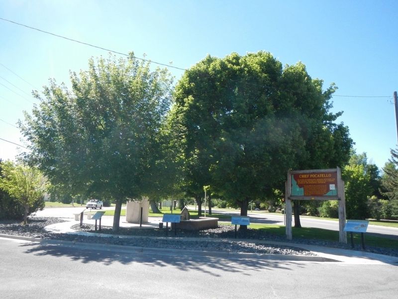
More about this marker. This marker is located at the Visit Pocatello Idaho Tourist Information Center.
Credits. This page was last revised on September 15, 2017. It was originally submitted on September 15, 2017, by Barry Swackhamer of Brentwood, California. This page has been viewed 529 times since then and 24 times this year. Photos:1, 2. submitted on September 15, 2017, by Barry Swackhamer of Brentwood, California.