
Near Tetonia in Teton County, Idaho — The American West (Mountains)
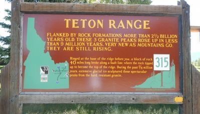
Teton Range
Photographed by Barry Swackhamer, June 23, 2017
1. Teton Range Marker
Hinged at the base of the ridge before you, a block of rock 40 miles long broke along a fault line, where the rock tipped up to become the top of the ridge. During the past 1/4 million years, extensive glacial ice sculptured these spectacular peaks from the hard, resistant granite.
Erected by Idaho Department of Transportation. (Marker Number 315.)
Topics and series. This historical marker is listed in this topic list: Natural Features. In addition, it is included in the Idaho State Historical Society series list.
Location. 43° 47.544′ N, 111° 6.648′ W. Marker is near Tetonia, Idaho, in Teton County. It is at the intersection of State Highway 33 at milepost 136.5 and Trouts Ranch Road, on the left when traveling north on State Highway 33. Touch for map. Marker is at or near this postal address: 485 Idaho Highway 33, Tetonia ID 83452, United States of America. Touch for directions.

Regionally,
this page online
Other nearby markers. At least 6 other markers are within 8 miles of this marker, measured as the crow flies: John Colter (a few steps from this marker); Fordson Tractor (approx. 3.4 miles away); Tetonia School Bell (approx. 3.4 miles away); Teton County Veterans Memorial (approx. 4.7 miles away); Pierre's Hole Rendezvous and Battle (approx. 5.9 miles away); Pierre's Hole (approx. 7½ miles away).
Another marker is no longer nearby. John Colter (was approx. 4.7 miles away but has been confirmed missing).
Also see . . . The Grand Tetons -- Greater Yellowstone Resource Guide. The first recorded American to see the Tetons was American adventurer John Colter in 1907, a member of the Lewis and Clark Expedition, he got hired away form Lewis and Clark on their return from Oregon by fur trader Manual Lisa to do some reconnaissance and PR work for Lisaês trading post on the Yellowstone River. Colter was also the first American to see Yellowstone. Fur trappers, traders, and mountain men followed suit to frequent the range in the first half of the 19th century.
During
Photographed by Barry Swackhamer, June 23, 2017
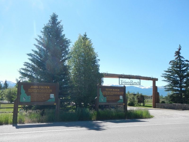
2. Teton Range Marker
Marker on the right
Photographed by Barry Swackhamer, June 23, 2017
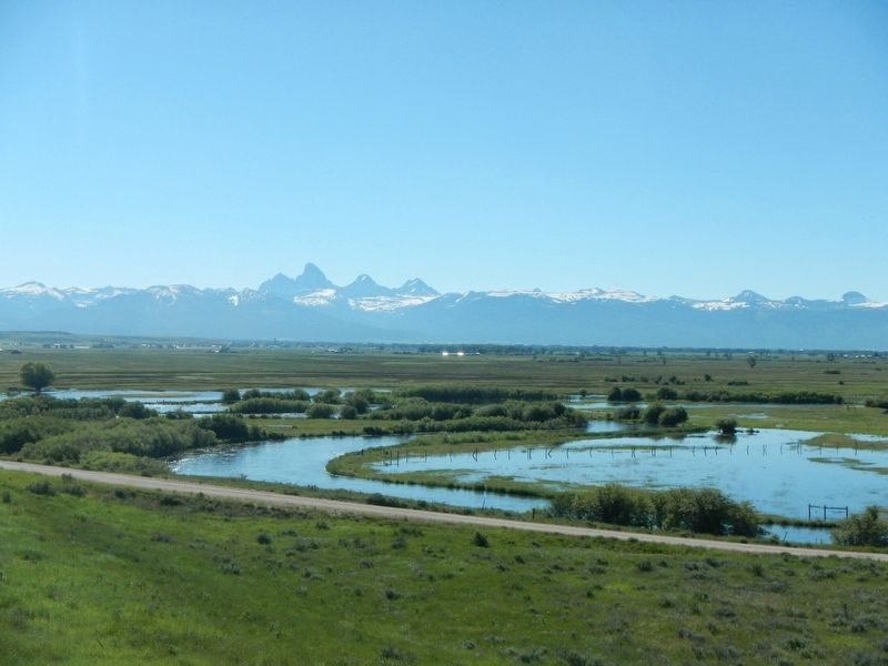
3. Teton Range from the West
Credits. This page was last revised on September 16, 2017. It was originally submitted on September 16, 2017, by Barry Swackhamer of Brentwood, California. This page has been viewed 1,025 times since then and 62 times this year. Photos: 1, 2, 3. submitted on September 16, 2017, by Barry Swackhamer of Brentwood, California.
