Plymouth in Plymouth County, Massachusetts — The American Northeast (New England)
National Day of Mourning
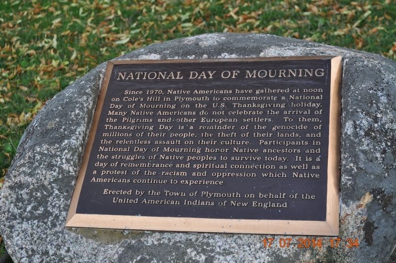
Photographed by Sandra Hughes, July 17, 2014
1. National Day of Mourning Marker
Erected by Town of Plymouth on behalf of the United American Indians of New England.
Topics. This historical marker is listed in this topic list: Indigenous Peoples and Communities. A significant historical year for this entry is 1970.
Location. 41° 57.46′ N, 70° 39.752′ W. Marker is in Plymouth, Massachusetts, in Plymouth County. It is on Carver Street. Located on Cobb's Hill. Touch for map. Marker is in this post office area: Plymouth MA 02360, United
this page online

Regionally, this marker is on the South Shore. It is also in the American Northeast, in New England, and on the Eastern Seaboard. Globally, it is in the North Atlantic Region, North America, the Western Hemisphere, the Western World, and the Anglosphere. Historically, it finds itself in what was once one of the original Thirteen Colonies.
Other nearby markers. At least 8 other markers are within walking distance of this marker: James Cole (within shouting distance of this marker); First Burying Ground of Mayflower Passengers (within shouting distance of this marker); Plymouth Rock (within shouting distance of this marker); Massasoit (within shouting distance of this marker); Gurnet Fortifications (within shouting distance of this marker); Pilgrim Memorial State Park (within shouting distance of this marker); Pilgrim Mother Statue (about 300 feet away, measured in a direct line); This Land Was Occupied by Thomas Prence (about 300 feet away). Touch for a list and map of all markers in Plymouth.
Another marker is no longer nearby. America's Hometown (was within shouting distance
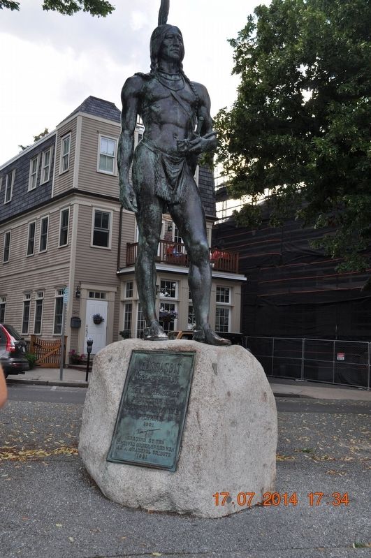
Photographed by Sandra Hughes, July 17, 2014
2. A nearby statue of Massasoit
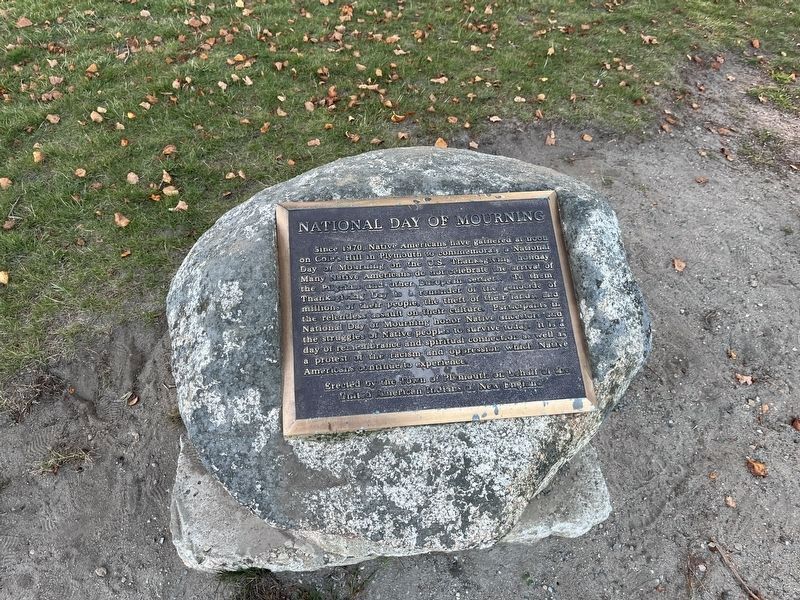
Photographed by Adam Margolis, September 15, 2025
3. National Day of Mourning Marker
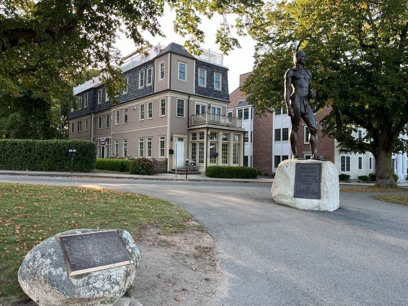
Photographed by Adam Margolis, September 15, 2025
4. National Day of Mourning Marker
Credits. This page was last revised on March 31, 2026. It was originally submitted on September 16, 2017, by Sandra Hughes Tidwell of Killen, Alabama, USA. This page has been viewed 1,147 times since then and 72 times this year. Photos: 1, 2. submitted on September 16, 2017, by Sandra Hughes Tidwell of Killen, Alabama, USA. 3, 4. submitted on March 23, 2026, by Adam Margolis of Mission Viejo, California. • Bill Pfingsten was the editor who published this page.
Editor’s want-list for this marker. A wide shot of the marker and its surroundings. • Can you help?
