Waveland in Hancock County, Mississippi — The American South (East South Central)
From the People of Waveland
September 15, 2017
1. From the People of Waveland Marker
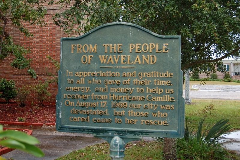
In appreciation and gratitude to all who gave their time, energy, and money to help us recover from Hurricane Camille. On August 17, 1969 our city was devastated, but those who cared came to her rescue.
Topics. This historical marker is listed in these topic lists: Disasters • Notable Events. A significant historical date for this entry is August 17, 1969.
Location. 30° 17.182′ N, 89° 22.454′ W. Marker is in Waveland, Mississippi, in Hancock County. It is on Coleman Avenue south of South Central Avenue, on the right when traveling south. Touch for map. Marker is at or near this postal address: 335 Coleman Avenue, Waveland MS 39576, United States of America. Touch for directions.

Regionally, this marker is in the American South, specifically in the Deep South, and on the Gulf Coast. Globally, it is in North America, a Gulf of Mexico state, the Western Hemisphere, the Western World, and the Anglosphere. Historically, it finds itself in what was once New Spain, the Viceroyalty of New France, the territory of the Mississippian Culture, one of the Confederate States of America, and the Antebellum South.
Other nearby markers. At
this page online
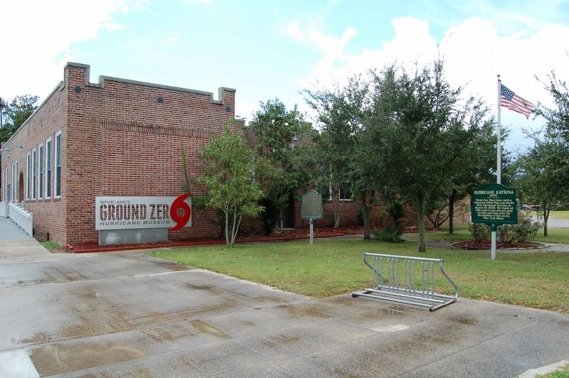
More about this marker. Located in front of Waveland Ground Zero Hurricane Museum
Also see . . . Ground Zero Hurricane Museum. (Submitted on September 18, 2017, by Cajun Scrambler of Assumption, Louisiana.)
September 15, 2017
2. From the People of Waveland Marker
September 16, 2017
3. From the People of Waveland Marker
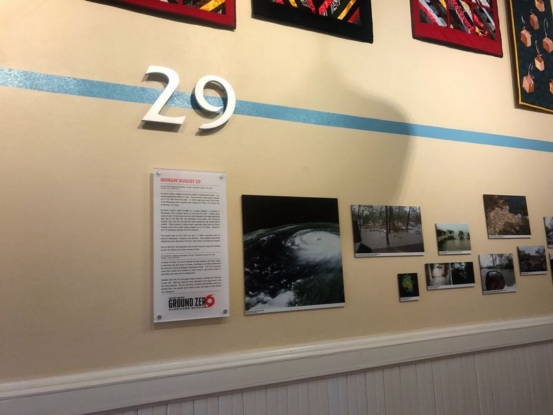
Blue line is water level line experienced in Hurricane Katrina
September 16, 2017
4. From the People of Waveland Marker
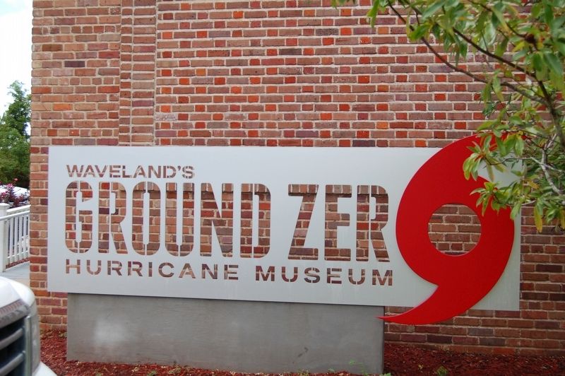
September 15, 2017
5. Ground Zero Museum
Credits. This page was last revised on September 18, 2017. It was originally submitted on September 18, 2017, by Cajun Scrambler of Assumption, Louisiana. This page has been viewed 637 times since then and 20 times this year. Photos: 1, 2, 3, 4, 5. submitted on September 18, 2017.
