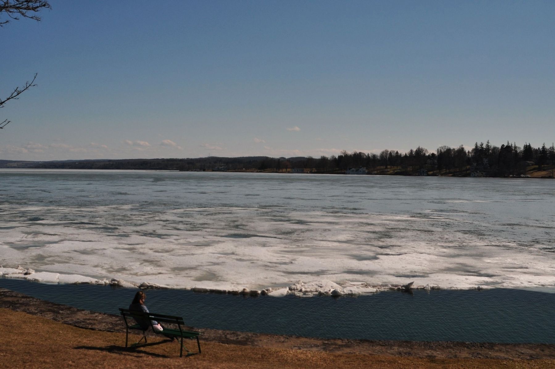
St. John's Beach
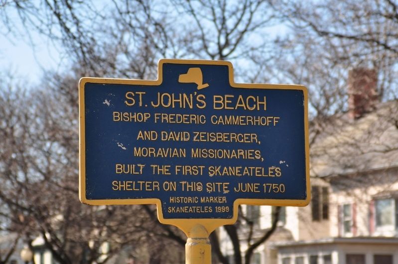
Historic Marker
Skaneateles 1999
Erected 1999 by Skaneateles.
Topics. This historical marker is listed in these topic lists: Colonial Era • Settlements & Settlers. A significant historical year for this entry is 1750.
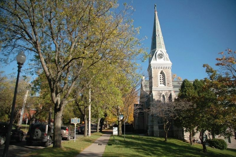
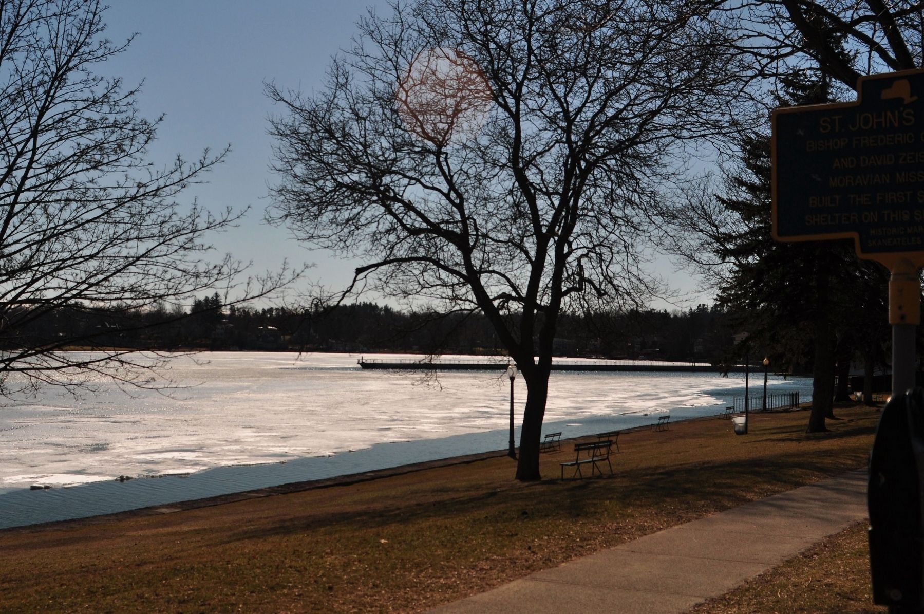
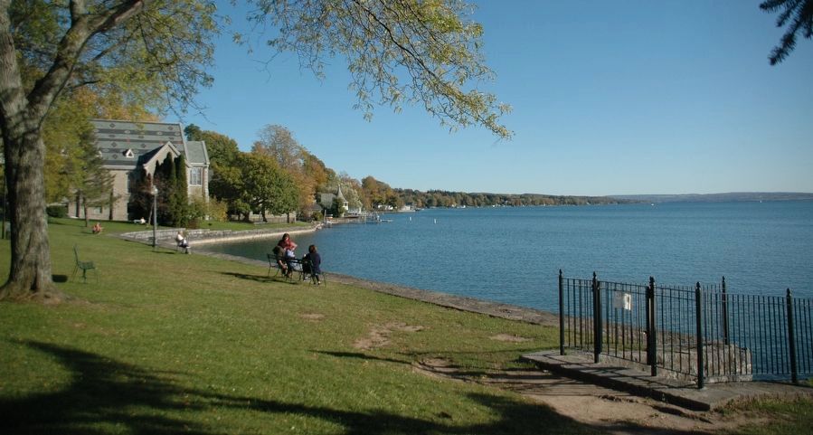
Location. 42° 56.718′ N, 76° 25.523′ W. Marker is in Skaneateles, New York, in Onondaga County. It is on East Genesee Street (U.S. 20) 0.2 miles east of State Street Road (New York State Route 321), on the left when traveling west. Touch for map. Marker is in this post office area: Skaneateles NY 13152, United States of America. Touch for directions.
Regionally, this marker is in Upstate New York, specifically in Central New York, and in the Syracuse Metropolitan Area. It is also in the American Northeast and in the Mid-Atlantic. Globally, it is in North America, on the Great Lakes, in the Western Hemisphere, in the Western World, and in the Anglosphere. Historically, it finds itself in what was once the Haudenosaunee (Iroquois) Confederacy, New Netherland,
this page online
Other nearby markers. At least 8 other markers are within walking distance of this marker: Moravian Missionaries / Gansevoort’s Hundred (a few steps from this marker); Site of The Great Fire (about 700 feet away, measured in a direct line); Lafayette’s Tour (approx. 0.2 miles away); 9/11 Memorial (approx. ¼ mile away); Clift Park (approx. 0.3 miles away); John D. Barrow Centennial Address (approx. 0.3 miles away); Skaneateles World War II Veterans Memorial (approx. 0.3 miles away); Sherwood Inn (approx. 0.3 miles away). Touch for a list and map of all markers in Skaneateles.
Credits. This page was last revised on November 18, 2019. It was originally submitted on September 19, 2017, by Yugoboy of Rochester, New York. This page has been viewed 693 times since then and 42 times this year. Photos: 1. submitted on September 19, 2017, by Yugoboy of Rochester, New York. 2. submitted on November 16, 2019, by Howard C. Ohlhous of Duanesburg, New York. 3. submitted on September 19, 2017, by Yugoboy of Rochester, New York. 4. submitted on November 16, 2019, by Howard C. Ohlhous of Duanesburg, New York. 5. submitted on September 19, 2017, by Yugoboy of Rochester, New York. • Bill Pfingsten was the editor who published this page.
