St. Joseph's Academy
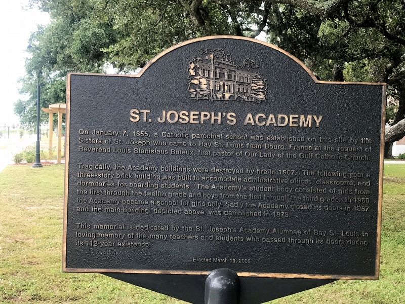
On January 7, 1855, a Catholic parochial school was established on this site by the Sisters of St. Joseph who came to Bay St. Louis from Bourg, France at the request of Reverend Louis Stanislaus Buteux, first pastor of Our Lady of the Gulf Catholic Church.
Tragically, the Academy buildings were destroyed by fire in 1907. The following year a three-story brick building was built to accommodate administrative offices, classrooms , and dormitories for boarding students. The Academy's student body consisted of girls from the first through the twelfth grade and boys from the first through third grade. In 1960 the Academy became a school for girls only. Sadly the Academy closed its doors in 1967 and the main building, depicted above, was demolished in 1973.
This memorial is dedicated by the St. Joseph's Academy Alumnae of Bay St. Louis in loving memory of the many teachers and students who passed through its doors during its 112 year existence.
Erected 2005.
Topics. This historical marker is listed in these topic lists: Education • Religion & Religious Structures • Women.
Location. 30° 18.494′ N,
this page online

Regionally, this marker is in the American South, specifically in the Deep South, and on the Gulf Coast. Globally, it is in North America, a Gulf of Mexico state, the Western Hemisphere, the Western World, and the Anglosphere. Historically, it finds itself in what was once New Spain, the Viceroyalty of New France, the territory of the Mississippian Culture, one of the Confederate States of America, and the Antebellum South.
Other nearby markers. At least 8 other markers are within walking distance of this marker: Our Lady of the Gulf (within shouting distance of this marker); St. Stanislaus College (about 700 feet away, measured in a direct line); Jean Baptiste le Moyne Siuer de Bienville (approx. 0.2 miles away); Hancock County Bank (approx. 0.2 miles away); Old Shieldsborough
Another marker is no longer nearby. Naval Battle of Bay St. Louis (was approx. 0.4 miles away but has been replaced with another marker now near it).
Credits. This page was last revised on July 4, 2022. It was originally submitted on September 19, 2017, by Cajun Scrambler of Assumption, Louisiana. This page has been viewed 1,548 times since then and 141 times this year. Photos: 1, 2. submitted on September 19, 2017.
